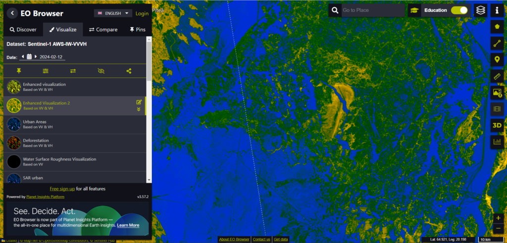
The EO Browser is designed to provide access to satellite imagery and Earth Observation data from various satellite missions. It can be used for:
- Access Satellite Imagery: You can explore and view satellite images from different sources, such as the Sentinel-1, Sentinel-2, Sentinel-3, and Landsat missions.
- Customizable Views: The EO Browser allows you to customize the display of satellite images by selecting different visualization options, such as natural color and false color.
- Historical Data: You can access historical satellite images, allowing you to analyze changes over time for a particular area of interest. This can be useful for tracking environmental changes, urban development, deforestation, etc.
- Geographical Exploration: You can explore different geographical regions and zoom into specific areas to get detailed satellite views.
- Data Analysis: The platform provides tools for basic analysis of satellite data, such as creating time-lapse animations, analyzing vegetation health, or detecting changes in land use.
- User-Friendly Interface: The EO Browser offers an intuitive and user-friendly interface.
The EO Browser is a powerful tool for anyone interested in monitoring and analyzing Earth’s surface using satellite data.
Link to the tool: https://apps.sentinel-hub.com/eo-browser