Jun 8, 2025 | 2-3h, Coding for Urban Sustainability, Lower Primary (5-9 years), Lower Secondary (12-15 years), Resources, Tools, Upper Primary (9-12 years), Upper Secondary (15-18 years)
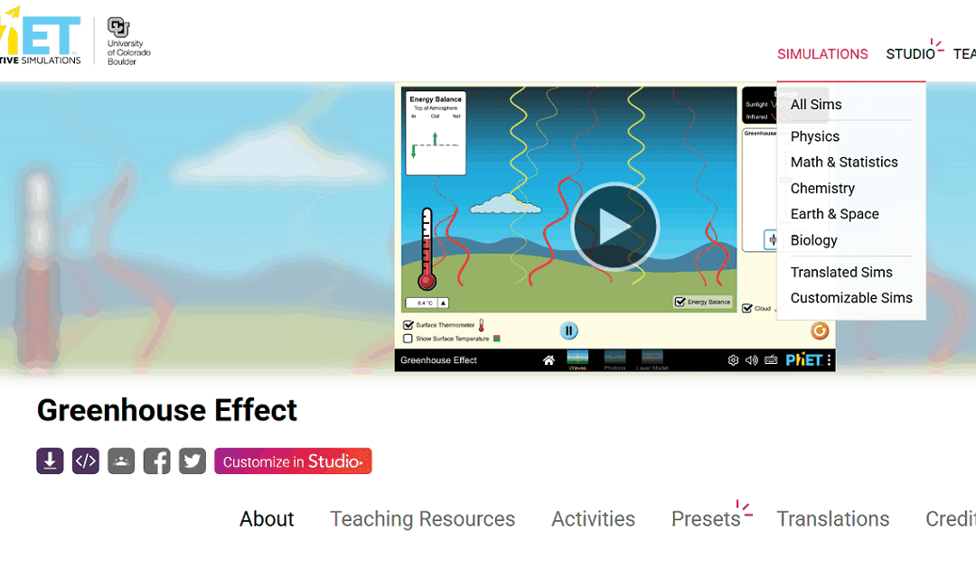
PhET (https://phet.colorado.edu/) offers free, research-based interactive simulations for teaching science and math. Developed by the University of Colorado Boulder, these simulations help students explore concepts through inquiry and experimentation. They are ideal...
May 14, 2025 | 2-3h, Cartography & Spatial Thinking, Digital, English, German, Greek, Green, Lower Primary (5-9 years), Lower Secondary (12-15 years), Map Storytelling, more than 3h, Other(s), Resources, Spatial, Tools, up to 1h, Upper Primary (9-12 years), Upper Secondary (15-18 years)
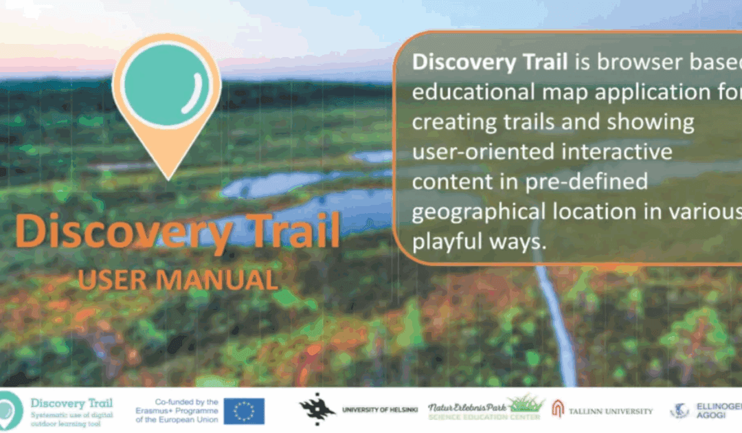
Discovery Trail simplifies the process of combining technology with outdoor learning, offering a dynamic and interactive way for students to explore their environment. This happens with its app called “Avastusrada”. Avastusrada is a digital tool that...
Mar 22, 2025 | Digital, EO, RS & Sat Apps, GIS for Earth Sciences, Green, Lower Primary (5-9 years), Lower Secondary (12-15 years), more than 3h, Resources, Spatial, Tools, Upper Primary (9-12 years), Upper Secondary (15-18 years)
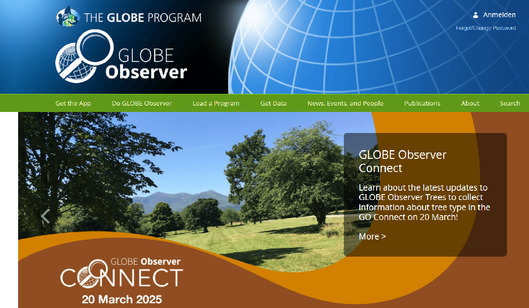
The GLOBE Observer is a citizen science app from NASA’s GLOBE Program that allows users to contribute environmental observations, such as cloud cover, land cover, and mosquito habitats, to support scientific research and climate studies. LINK to the Resource:...
Feb 15, 2025 | Cartography & Spatial Thinking, Digital, English, Lifelong Learning, Lower Primary (5-9 years), Lower Secondary (12-15 years), Map Storytelling, Resources, Spatial, Tools, Upper Primary (9-12 years), Upper Secondary (15-18 years)
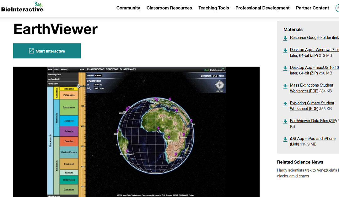
EarthViewer is an interactive educational tool that enables users to explore Earth’s 4.5 billion-year history. Through dynamic visualizations, it illustrates continental shifts and growth over time, allowing users to observe changes in atmospheric composition,...
Jan 5, 2025 | Cartography & Spatial Thinking, Digital, English, GIS for Earth Sciences, Green, Lecture, Lifelong Learning, Lower Secondary (12-15 years), Map Storytelling, Online course, Presentation, Resources, Spatial, Tools, Upper Secondary (15-18 years)
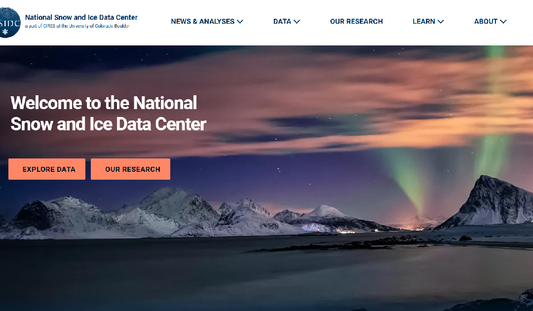
The National Snow and Ice Data Center (NSIDC) is a leading institution dedicated to advancing the understanding of Earth’s frozen regions, known as the cryosphere. Their website offers a wealth of resources, including data sets, research findings, and...
Dec 16, 2024 | Digital, English, EO, RS & Sat Apps, GIS for Earth Sciences, Green, Lesson plan, Lifelong Learning, Lower Primary (5-9 years), Lower Secondary (12-15 years), Map Storytelling, Resources, Spatial, Tools, Upper Primary (9-12 years), Upper Secondary (15-18 years)
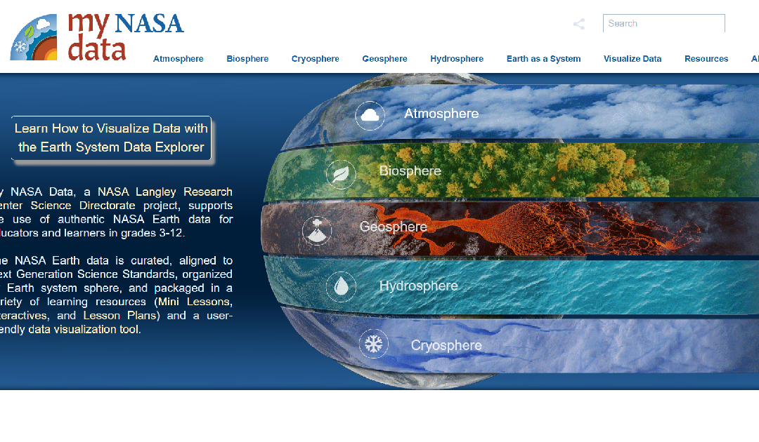
My NASA Data is an educational platform designed to make NASA’s Earth science data accessible to students, educators, and lifelong learners. The website offers a wealth of resources, including interactive tools, lesson plans, and real-world data sets, to support...