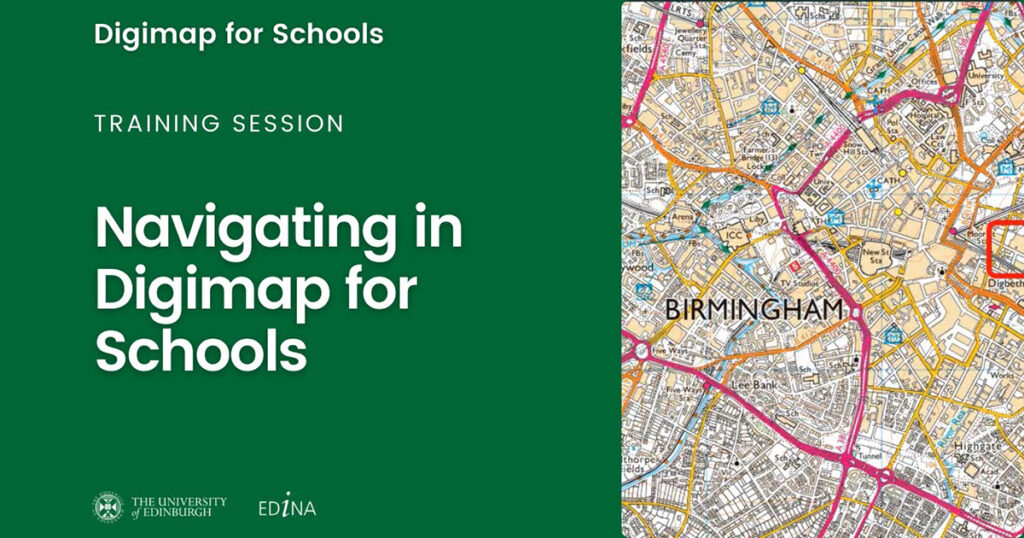
Designed to engage pupils and inspire them to be curious and fascinated about the world, Digimap for Schools provides students and teachers with digital access to modern-day and historic maps and detailed aerial imagery to enable the teaching of Geography – and so much more.
Used by around 4800 British secondary and primary schools, and a growing number of international schools, Digimap for Schools enables students to understand and investigate their world while gaining crucial digital and data skills. Suitable for children as young as 5, and up to 16+ years, Digimap for Schools equips students with knowledge about the world. The service is supported by access to a wealth of free learning resources that are designed to aid teaching and support teachers in preparing impactful and interesting lessons, as well as allowing for student-led self-study. With an intuitive interface, easy to understand tools and instructions, and no download or new software installation required, a teacher or a pupil can easily understand and start to use the service immediately.
Link to the Tool: https://digimapforschools.edina.ac.uk/
