
May 20, 2024 | Bulgarian, Cartography & Spatial Thinking, Digital, English, EO, RS & Sat Apps, French, German, GIS for Earth Sciences, Greek, Green, Lower Secondary (12-15 years), Map Storytelling, Other(s), Portuguese, Resources, Spatial, Swedish, Upper Secondary (15-18 years)
Repository of Storymaps from ESRI.
May 20, 2024 | Cartography & Spatial Thinking, Digital, English, EO, RS & Sat Apps, GIS for Earth Sciences, Lower Secondary (12-15 years), Spatial, Tools, Upper Secondary (15-18 years)
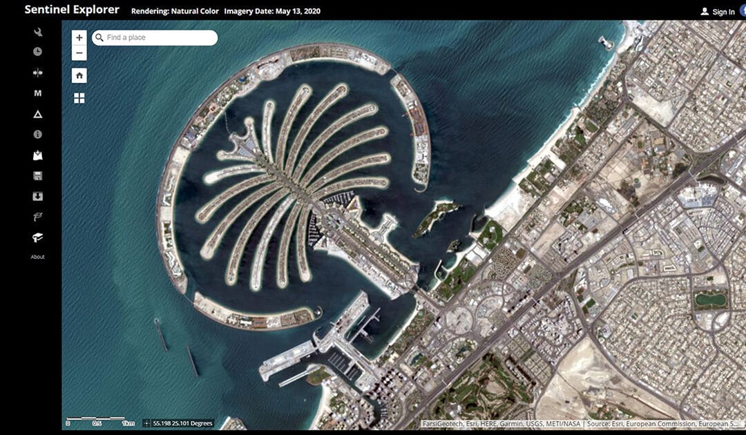
Online service for simple processing of Sentinel remote sensing data by ESRI.
May 20, 2024 | Cartography & Spatial Thinking, Digital, English, GIS for Earth Sciences, Green, Lower Secondary (12-15 years), Map Storytelling, Spatial, Tools, Upper Secondary (15-18 years)
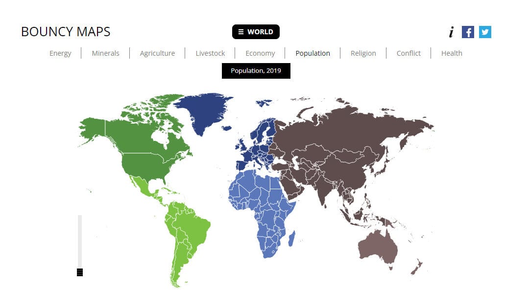
Bouncy Maps transform the map to show how large countries would be according to certain criteria.
May 20, 2024 | Cartography & Spatial Thinking, Digital, English, GIS for Earth Sciences, Lower Primary (5-9 years), Lower Secondary (12-15 years), Map Storytelling, Spatial, Tools, Upper Secondary (15-18 years)
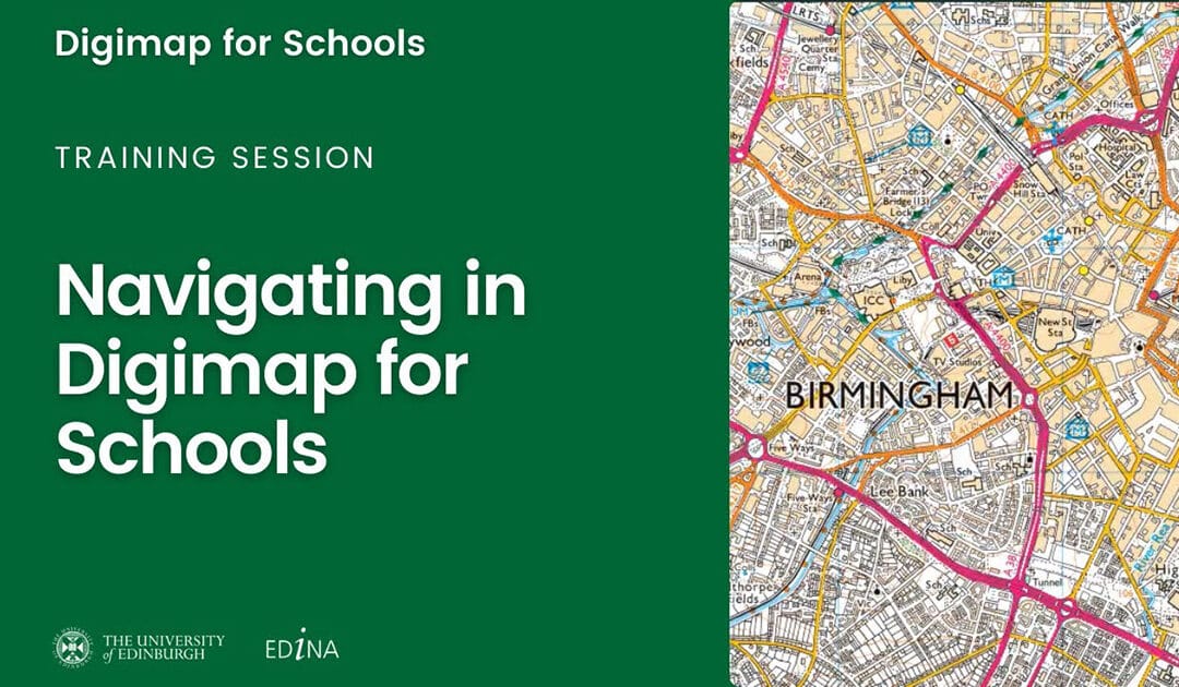
Designed to engage pupils and inspire them to be curious and fascinated about the world.

May 20, 2024 | Cartography & Spatial Thinking, Digital, English, Lower Secondary (12-15 years), Map Storytelling, Spatial, Tools, Upper Secondary (15-18 years)
A location-based quiz application (in browser) developed by ESRI.

May 20, 2024 | Bulgarian, Cartography & Spatial Thinking, Digital, English, French, German, Greek, Green, Lower Primary (5-9 years), Lower Secondary (12-15 years), Map Storytelling, Other(s), Portuguese, Spatial, Swedish, Tools, Upper Secondary (15-18 years)
Join the world’s largest treasure hunt!


