May 20, 2024 | Cartography & Spatial Thinking, Digital, English, EO, RS & Sat Apps, French, German, GIS for Earth Sciences, Green, Lower Primary (5-9 years), Lower Secondary (12-15 years), Map Storytelling, Other(s), Portuguese, Resources, Spatial, Upper Secondary (15-18 years)
Online initiative for the use of Google Earth services in the Classroom.
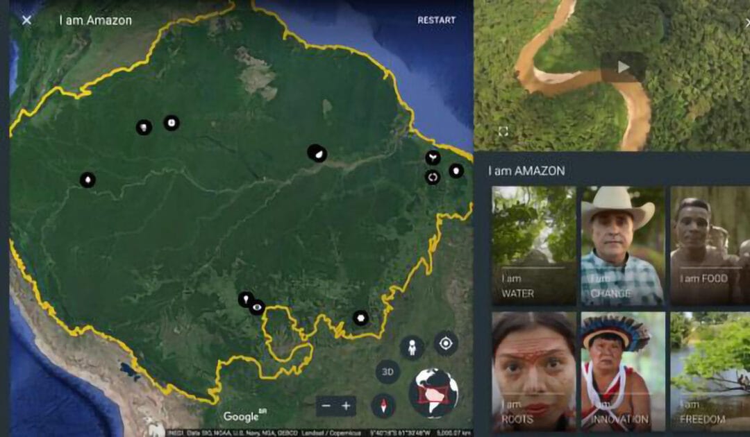
May 20, 2024 | Cartography & Spatial Thinking, Digital, English, EO, RS & Sat Apps, French, German, GIS for Earth Sciences, Green, Lower Primary (5-9 years), Lower Secondary (12-15 years), Map Storytelling, Other(s), Portuguese, Resources, Spatial, Upper Secondary (15-18 years)
Google Earth repository of stories created for the classroom.
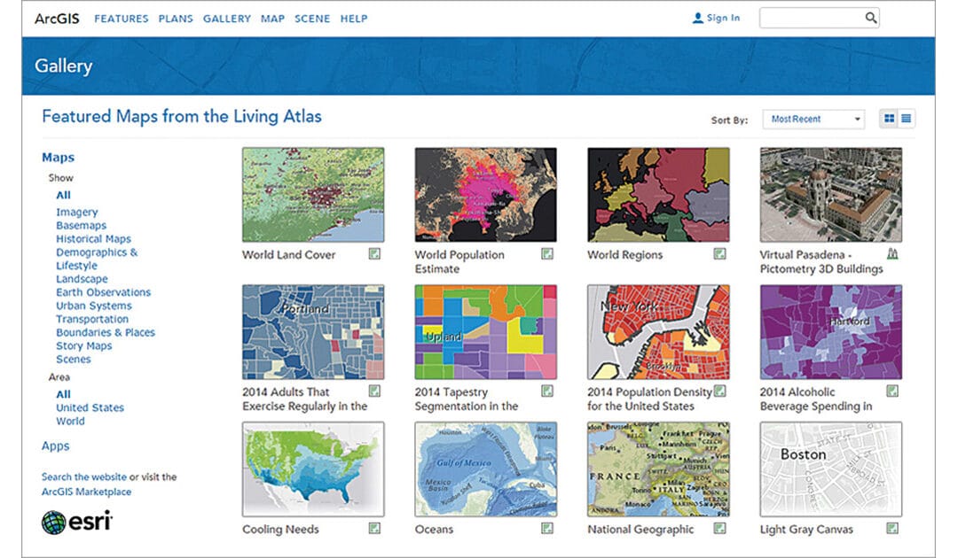
May 20, 2024 | Cartography & Spatial Thinking, Digital, English, EO, RS & Sat Apps, French, GIS for Earth Sciences, Green, Lower Secondary (12-15 years), Map Storytelling, Other(s), Portuguese, Resources, Spatial, Upper Secondary (15-18 years)
ArcGIS Living Atlas of the World is the foremost collection of geographic information from
around the globe. It includes maps, apps, and data layers to support your work.
May 20, 2024 | Bulgarian, Cartography & Spatial Thinking, Digital, English, EO, RS & Sat Apps, French, German, GIS for Earth Sciences, Greek, Green, Lower Secondary (12-15 years), Map Storytelling, Other(s), Portuguese, Resources, Spatial, Swedish, Upper Secondary (15-18 years)
Repository of Storymaps from ESRI.
May 20, 2024 | Bulgarian, Cartography & Spatial Thinking, Digital, English, French, German, Greek, Green, Lower Primary (5-9 years), Lower Secondary (12-15 years), Map Storytelling, Other(s), Portuguese, Spatial, Swedish, Tools, Upper Secondary (15-18 years)
Join the world’s largest treasure hunt!
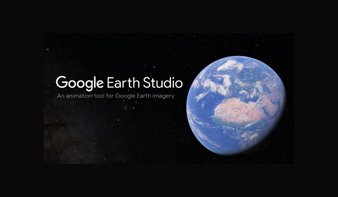
May 20, 2024 | Cartography & Spatial Thinking, Digital, English, EO, RS & Sat Apps, French, German, GIS for Earth Sciences, Lower Secondary (12-15 years), Map Storytelling, Other(s), Portuguese, Spatial, Tools, Upper Secondary (15-18 years)
An animation tool for Google Earth’s satellite and 3D imagery.