Mar 30, 2026 | Age Group, Cartography & Spatial Thinking, Coding for Urban Sustainability, Content Type, Digital, English, EO, RS & Sat Apps, Geo-Concept, GIS for Earth Sciences, Green, Language, Lower Primary (5-9 years), Lower Secondary (12-15 years), Map Storytelling, Presentation, Skills, Spatial, up to 1h, Upper Primary (9-12 years), Upper Secondary (15-18 years)
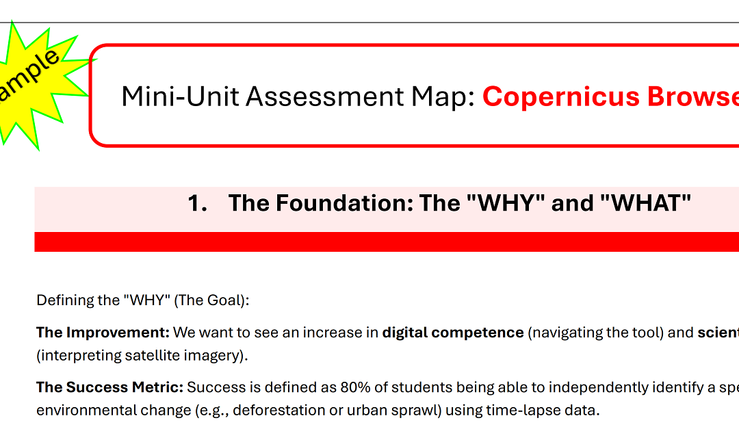
The UCF (Unified Competence Framework) and the problem of a valid Assessment procedure. A “Mini-Unit Assessment Map” is a strategic blueprint that ensures your teaching goals, student activities, and assessment methods are perfectly aligned. The blueprint...
Feb 26, 2026 | English, EO, RS & Sat Apps, Lower Secondary (12-15 years), Online course, Presentation, up to 1h, Upper Primary (9-12 years), Upper Secondary (15-18 years)
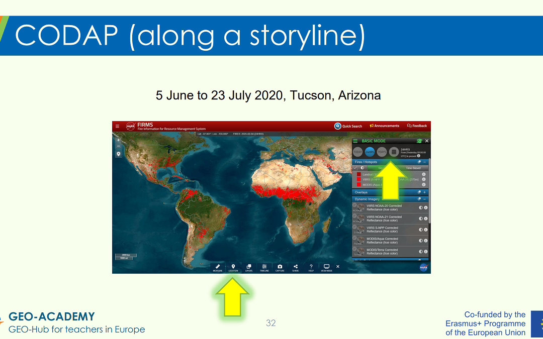
EO, RS, Sat Apps – Tutorial in a Nutshell: The tutorial provides a guided “tour” of selected GEO-Academy resources and practical classroom applications. These include the Eratosthenes experiment, data analysis activities using CODAP (Common Online Data Analysis...
May 14, 2025 | 2-3h, Cartography & Spatial Thinking, Digital, English, German, Greek, Green, Lower Primary (5-9 years), Lower Secondary (12-15 years), Map Storytelling, more than 3h, Other(s), Resources, Spatial, Tools, up to 1h, Upper Primary (9-12 years), Upper Secondary (15-18 years)
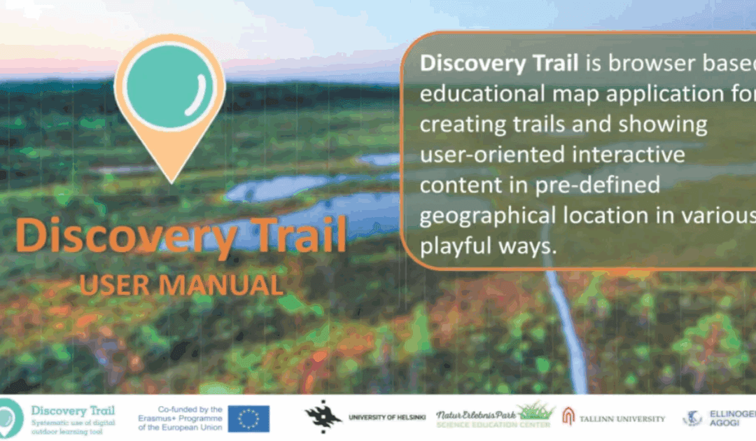
Discovery Trail simplifies the process of combining technology with outdoor learning, offering a dynamic and interactive way for students to explore their environment. This happens with its app called “Avastusrada”. Avastusrada is a digital tool that...
Feb 15, 2025 | Cartography & Spatial Thinking, Digital, English, Lifelong Learning, Lower Primary (5-9 years), Lower Secondary (12-15 years), Map Storytelling, Resources, Spatial, Tools, Upper Primary (9-12 years), Upper Secondary (15-18 years)
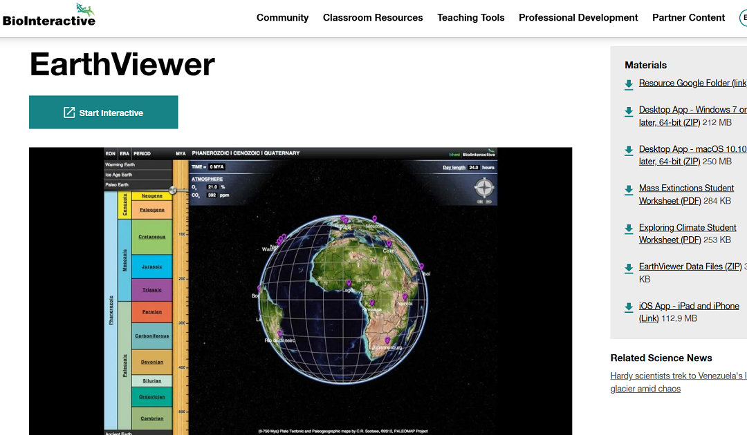
EarthViewer is an interactive educational tool that enables users to explore Earth’s 4.5 billion-year history. Through dynamic visualizations, it illustrates continental shifts and growth over time, allowing users to observe changes in atmospheric composition,...
Jan 24, 2025 | 2-3h, Cartography & Spatial Thinking, Digital, English, EO, RS & Sat Apps, French, GIS for Earth Sciences, Green, Lesson plan, Lower Secondary (12-15 years), Other(s), Portuguese, Spatial, Upper Secondary (15-18 years)
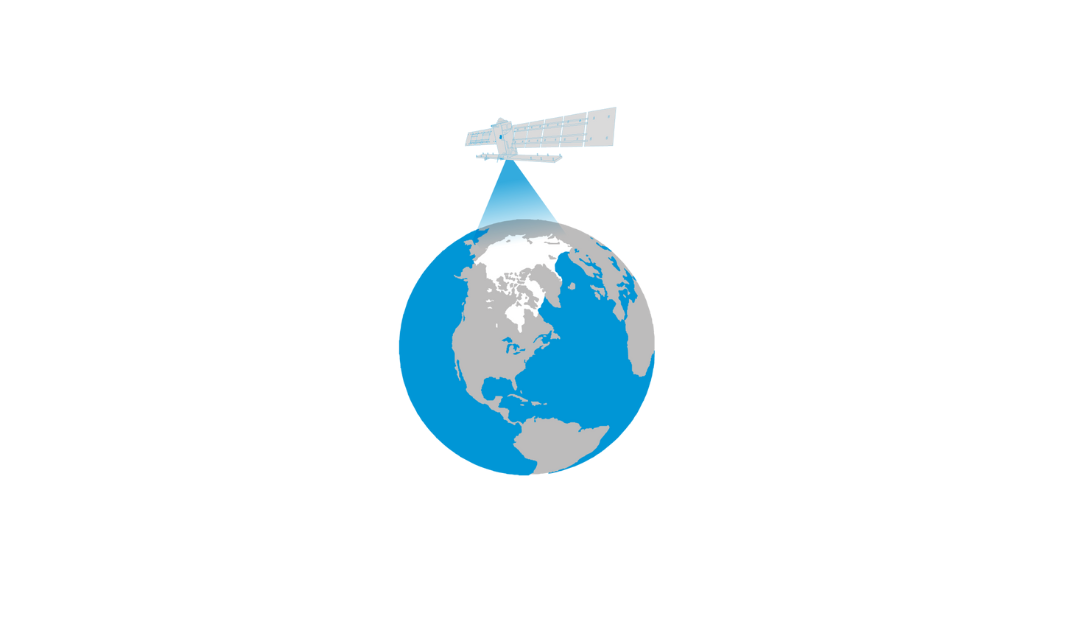
The Arctic is the most northerly area of the globe. In the Arctic Ocean, areas are entirely or partly covered by sea ice most of the year, which makes it a challenge for explorers and scientists to access the area for research. Since 1979 satellites have been...
Jan 5, 2025 | Cartography & Spatial Thinking, Digital, English, GIS for Earth Sciences, Green, Lecture, Lifelong Learning, Lower Secondary (12-15 years), Map Storytelling, Online course, Presentation, Resources, Spatial, Tools, Upper Secondary (15-18 years)
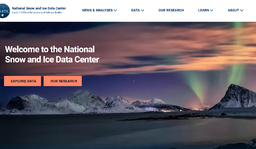
The National Snow and Ice Data Center (NSIDC) is a leading institution dedicated to advancing the understanding of Earth’s frozen regions, known as the cryosphere. Their website offers a wealth of resources, including data sets, research findings, and...