Dec 2, 2024 | 2-3h, Cartography & Spatial Thinking, Digital, English, EO, RS & Sat Apps, GIS for Earth Sciences, Green, Lifelong Learning, Lower Primary (5-9 years), Lower Secondary (12-15 years), Map Storytelling, more than 3h, Portuguese, Resources, Skills, Spatial, up to 1h, Upper Primary (9-12 years), Upper Secondary (15-18 years)
“Big Ideas from Data Science” is a framework developed by YouCubed to help students and educators engage with key concepts in data science. It highlights six foundational ideas, such as recognizing variability, understanding data structures, and...

Dec 2, 2024 | Cartography & Spatial Thinking, Digital, English, EO, RS & Sat Apps, GIS for Earth Sciences, Green, Lifelong Learning, Lower Secondary (12-15 years), Map Storytelling, Resources, Spatial, Tools, Upper Primary (9-12 years), Upper Secondary (15-18 years)
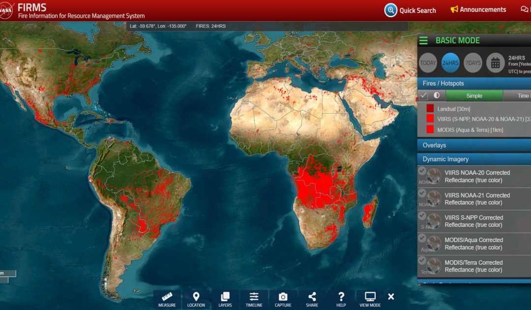
https://firms.modaps.eosdis.nasa.gov/map The FIRMS website is a tool provided by NASA’s Fire Information for Resource Management System. It provides near real-time information on active fires around the world based on satellite data. Users can view and analyse...

Jun 6, 2024 | Cartography & Spatial Thinking, Digital, English, EO, RS & Sat Apps, GIS for Earth Sciences, Green, Lower Secondary (12-15 years), Map Storytelling, Spatial, Tools, up to 1h, Upper Secondary (15-18 years)
Actionable information from Earth Observation to accelerate the Green Transition of society and econom

May 20, 2024 | Bulgarian, Cartography & Spatial Thinking, Digital, English, EO, RS & Sat Apps, French, German, GIS for Earth Sciences, Greek, Green, Lower Primary (5-9 years), Lower Secondary (12-15 years), Map Storytelling, Other(s), Portuguese, Resources, Spatial, Swedish, Upper Secondary (15-18 years)
A user-friendly interactive map-based educational tool on the ocean.

May 20, 2024 | Cartography & Spatial Thinking, Digital, English, EO, RS & Sat Apps, French, German, GIS for Earth Sciences, Green, Lower Primary (5-9 years), Lower Secondary (12-15 years), Map Storytelling, Other(s), Portuguese, Resources, Spatial, Upper Secondary (15-18 years)
Online initiative for the use of Google Earth services in the Classroom.

May 20, 2024 | Cartography & Spatial Thinking, Digital, English, EO, RS & Sat Apps, GIS for Earth Sciences, Green, Lower Primary (5-9 years), Lower Secondary (12-15 years), Map Storytelling, Resources, Spatial, Upper Secondary (15-18 years)
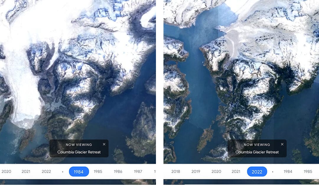
Google Earth Timelapse is a global, zoomable video that lets users see how the Earth has changed since 1984.


