Dec 16, 2024 | Cartography & Spatial Thinking, English, EO, RS & Sat Apps, GIS for Earth Sciences, Lifelong Learning, Lower Secondary (12-15 years), Map Storytelling, Resources, Upper Primary (9-12 years), Upper Secondary (15-18 years)
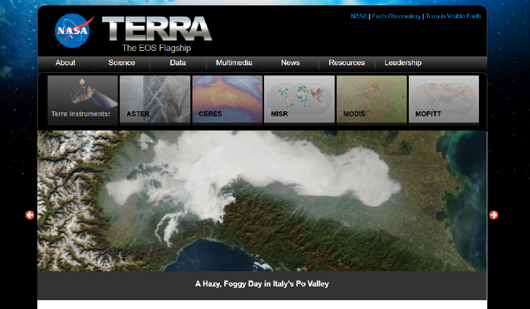
Terra is a key NASA mission dedicated to studying Earth’s systems from space, providing vital data for understanding our planet’s climate, environment, and natural processes. Launched in 1999, the Terra satellite carries a suite of advanced scientific...
Dec 2, 2024 | 2-3h, Cartography & Spatial Thinking, Digital, English, EO, RS & Sat Apps, GIS for Earth Sciences, Green, Lifelong Learning, Lower Primary (5-9 years), Lower Secondary (12-15 years), Map Storytelling, more than 3h, Portuguese, Resources, Skills, Spatial, up to 1h, Upper Primary (9-12 years), Upper Secondary (15-18 years)
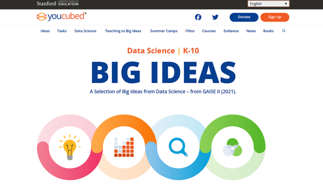
“Big Ideas from Data Science” is a framework developed by YouCubed to help students and educators engage with key concepts in data science. It highlights six foundational ideas, such as recognizing variability, understanding data structures, and...
Dec 2, 2024 | Cartography & Spatial Thinking, Digital, English, EO, RS & Sat Apps, GIS for Earth Sciences, Green, Lifelong Learning, Lower Secondary (12-15 years), Map Storytelling, Resources, Spatial, Tools, Upper Primary (9-12 years), Upper Secondary (15-18 years)
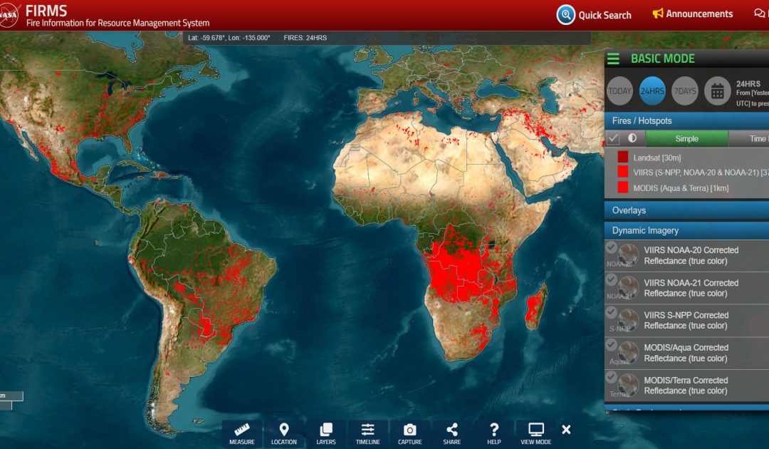
https://firms.modaps.eosdis.nasa.gov/map The FIRMS website is a tool provided by NASA’s Fire Information for Resource Management System. It provides near real-time information on active fires around the world based on satellite data. Users can view and analyse...
Jun 6, 2024 | Cartography & Spatial Thinking, Digital, English, EO, RS & Sat Apps, French, GIS for Earth Sciences, Green, Lower Secondary (12-15 years), Other(s), Portuguese, Spatial, Tools, up to 1h, Upper Secondary (15-18 years)
Global Forest Watch is a valuable tool for anyone interested in forest conservation, environmental protection, and sustainable development.

Jun 6, 2024 | Cartography & Spatial Thinking, Digital, English, EO, RS & Sat Apps, French, German, GIS for Earth Sciences, Greek, Green, Lower Secondary (12-15 years), Other(s), Portuguese, Spatial, Swedish, Tools, up to 1h, Upper Secondary (15-18 years)
EO Browser provides access to satellite imagery and Earth Observation data from various satellite missions.
Jun 6, 2024 | Cartography & Spatial Thinking, Digital, English, EO, RS & Sat Apps, GIS for Earth Sciences, Green, Lower Secondary (12-15 years), Map Storytelling, Spatial, Tools, up to 1h, Upper Secondary (15-18 years)
Actionable information from Earth Observation to accelerate the Green Transition of society and econom