Feb 26, 2026 | English, EO, RS & Sat Apps, Lower Secondary (12-15 years), Online course, Presentation, up to 1h, Upper Primary (9-12 years), Upper Secondary (15-18 years)
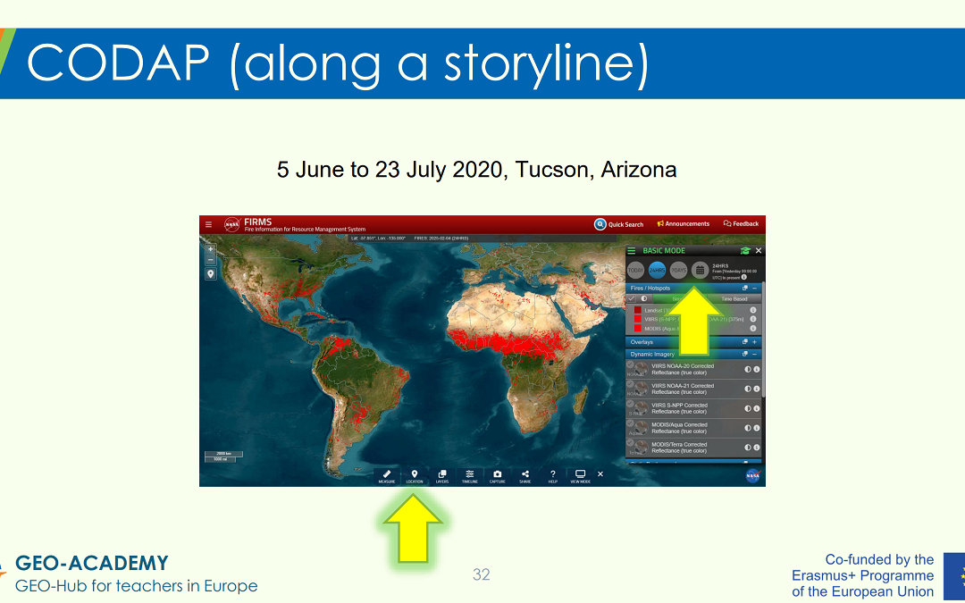
EO, RS, Sat Apps – Tutorial in a Nutshell: The tutorial provides a guided “tour” of selected GEO-Academy resources and practical classroom applications. These include the Eratosthenes experiment, data analysis activities using CODAP (Common Online Data Analysis...
Sep 30, 2025 | 2-3h, Age Group, Cartography & Spatial Thinking, Coding for Urban Sustainability, Digital, EO, RS & Sat Apps, GIS for Earth Sciences, Green, Lifelong Learning, Lower Primary (5-9 years), Lower Secondary (12-15 years), Map Storytelling, more than 3h, Resources, Skills, Spatial, Tools, up to 1h, Upper Primary (9-12 years), Upper Secondary (15-18 years)
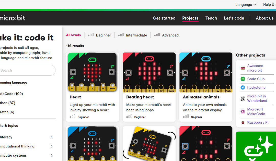
The “Make it: code it” section of the micro:bit site is a rich, teacher-friendly library of coding project ideas, tailored to all levels from beginner through advanced. It offers over 100 ready-made micro:bit projects you can filter by programming language (MakeCode,...
Mar 22, 2025 | Digital, EO, RS & Sat Apps, GIS for Earth Sciences, Green, Lower Primary (5-9 years), Lower Secondary (12-15 years), more than 3h, Resources, Spatial, Tools, Upper Primary (9-12 years), Upper Secondary (15-18 years)
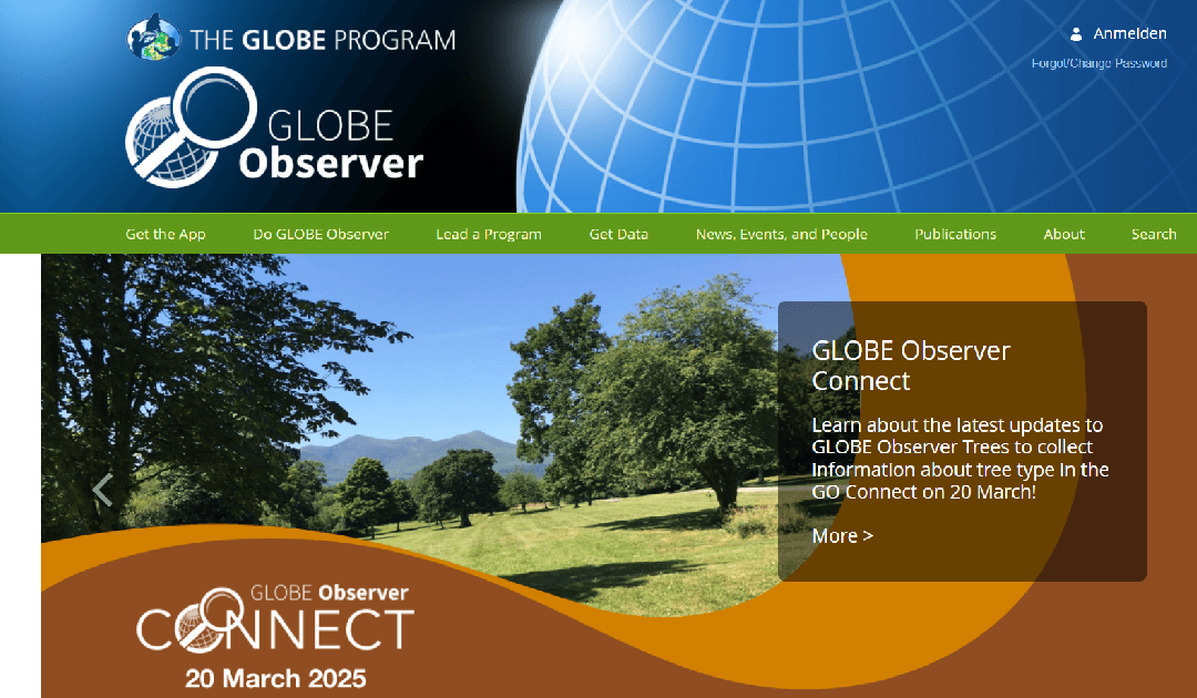
The GLOBE Observer is a citizen science app from NASA’s GLOBE Program that allows users to contribute environmental observations, such as cloud cover, land cover, and mosquito habitats, to support scientific research and climate studies. LINK to the Resource:...
Mar 22, 2025 | Cartography & Spatial Thinking, Digital, EO, RS & Sat Apps, GIS for Earth Sciences, Green, Lower Secondary (12-15 years), more than 3h, Resources, Spatial, Upper Primary (9-12 years), Upper Secondary (15-18 years)
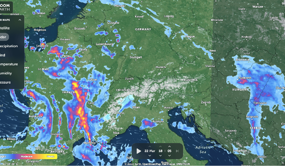
Zoom Earth is an interactive map platform that provides real-time satellite imagery, weather data, and historical Earth observation images. It allows users to track storms, wildfires, and environmental changes with high-resolution satellite updates. LINK to the...
Jan 24, 2025 | 2-3h, Cartography & Spatial Thinking, Digital, English, EO, RS & Sat Apps, French, GIS for Earth Sciences, Green, Lesson plan, Lower Secondary (12-15 years), Other(s), Portuguese, Spatial, Upper Secondary (15-18 years)
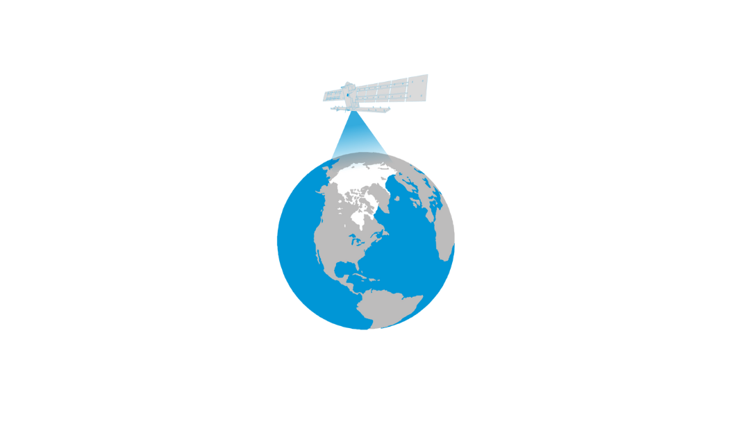
The Arctic is the most northerly area of the globe. In the Arctic Ocean, areas are entirely or partly covered by sea ice most of the year, which makes it a challenge for explorers and scientists to access the area for research. Since 1979 satellites have been...
Dec 16, 2024 | Digital, English, EO, RS & Sat Apps, GIS for Earth Sciences, Green, Lesson plan, Lifelong Learning, Lower Primary (5-9 years), Lower Secondary (12-15 years), Map Storytelling, Resources, Spatial, Tools, Upper Primary (9-12 years), Upper Secondary (15-18 years)
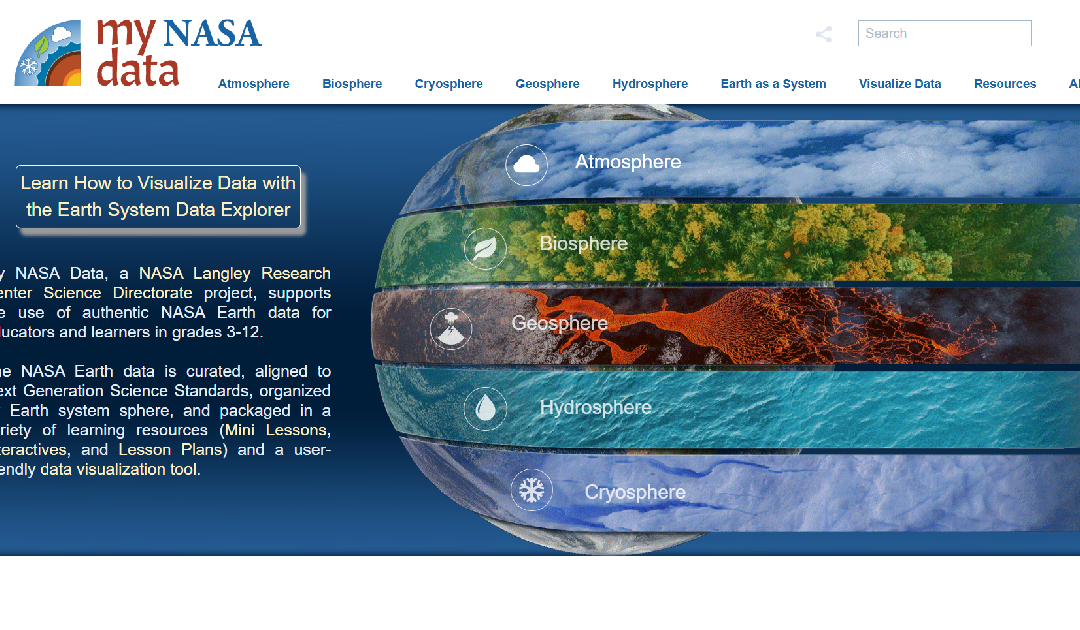
My NASA Data is an educational platform designed to make NASA’s Earth science data accessible to students, educators, and lifelong learners. The website offers a wealth of resources, including interactive tools, lesson plans, and real-world data sets, to support...