Sep 30, 2025 | 2-3h, Age Group, Cartography & Spatial Thinking, Coding for Urban Sustainability, Digital, EO, RS & Sat Apps, GIS for Earth Sciences, Green, Lifelong Learning, Lower Primary (5-9 years), Lower Secondary (12-15 years), Map Storytelling, more than 3h, Resources, Skills, Spatial, Tools, up to 1h, Upper Primary (9-12 years), Upper Secondary (15-18 years)
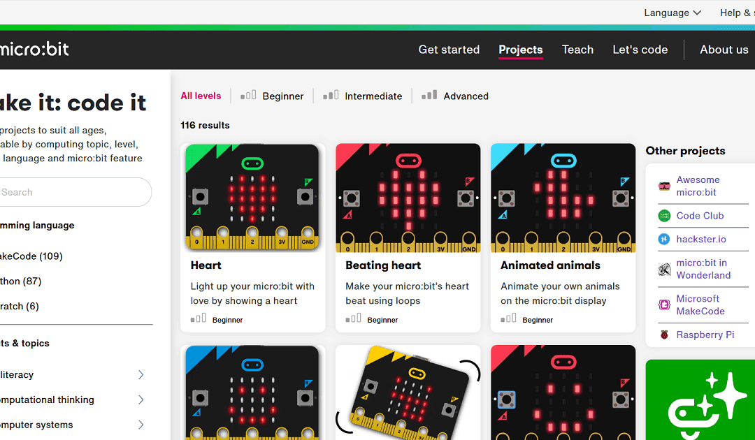
The “Make it: code it” section of the micro:bit site is a rich, teacher-friendly library of coding project ideas, tailored to all levels from beginner through advanced. It offers over 100 ready-made micro:bit projects you can filter by programming language (MakeCode,...
Jun 8, 2025 | 2-3h, Coding for Urban Sustainability, Lower Primary (5-9 years), Lower Secondary (12-15 years), Resources, Tools, Upper Primary (9-12 years), Upper Secondary (15-18 years)
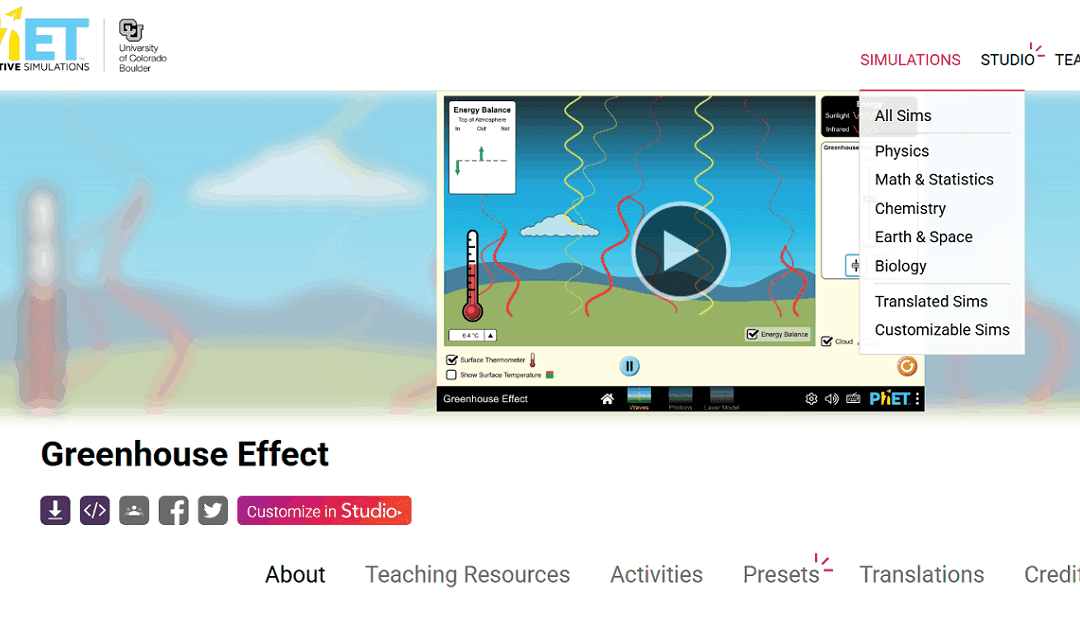
PhET (https://phet.colorado.edu/) offers free, research-based interactive simulations for teaching science and math. Developed by the University of Colorado Boulder, these simulations help students explore concepts through inquiry and experimentation. They are ideal...
May 14, 2025 | 2-3h, Cartography & Spatial Thinking, Digital, English, German, Greek, Green, Lower Primary (5-9 years), Lower Secondary (12-15 years), Map Storytelling, more than 3h, Other(s), Resources, Spatial, Tools, up to 1h, Upper Primary (9-12 years), Upper Secondary (15-18 years)
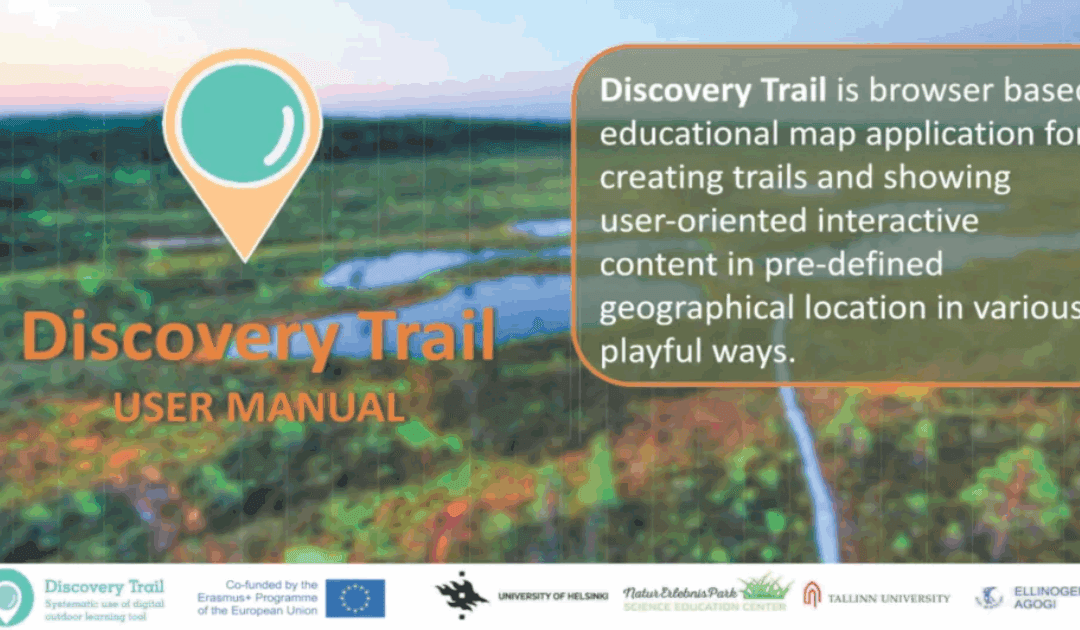
Discovery Trail simplifies the process of combining technology with outdoor learning, offering a dynamic and interactive way for students to explore their environment. This happens with its app called “Avastusrada”. Avastusrada is a digital tool that...
Jan 24, 2025 | 2-3h, Cartography & Spatial Thinking, Digital, English, EO, RS & Sat Apps, French, GIS for Earth Sciences, Green, Lesson plan, Lower Secondary (12-15 years), Other(s), Portuguese, Spatial, Upper Secondary (15-18 years)
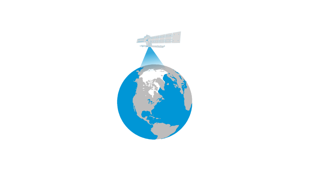
The Arctic is the most northerly area of the globe. In the Arctic Ocean, areas are entirely or partly covered by sea ice most of the year, which makes it a challenge for explorers and scientists to access the area for research. Since 1979 satellites have been...
Dec 2, 2024 | 2-3h, Cartography & Spatial Thinking, Digital, English, EO, RS & Sat Apps, GIS for Earth Sciences, Green, Lifelong Learning, Lower Primary (5-9 years), Lower Secondary (12-15 years), Map Storytelling, more than 3h, Portuguese, Resources, Skills, Spatial, up to 1h, Upper Primary (9-12 years), Upper Secondary (15-18 years)
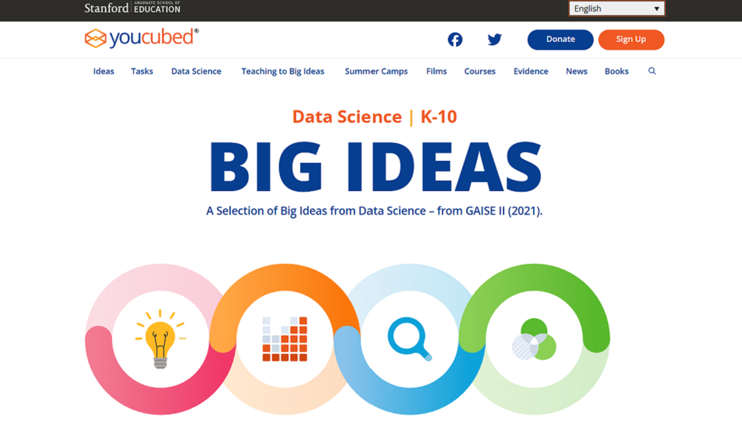
“Big Ideas from Data Science” is a framework developed by YouCubed to help students and educators engage with key concepts in data science. It highlights six foundational ideas, such as recognizing variability, understanding data structures, and...