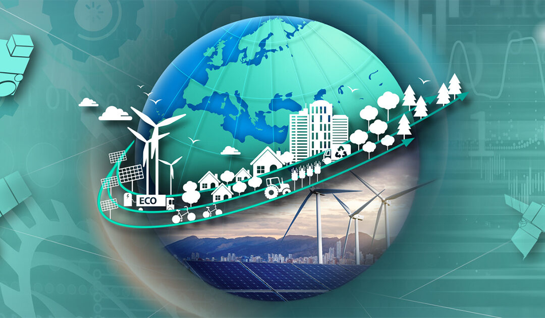
GTIF | Green Transition Information Factory
Actionable information from Earth Observation to accelerate the Green Transition of society and econom
Actionable information from Earth Observation to accelerate the Green Transition of society and econom
Build interactive maps that explain your data and encourage users to explore.
Online service for simple processing of Sentinel remote sensing data by ESRI.
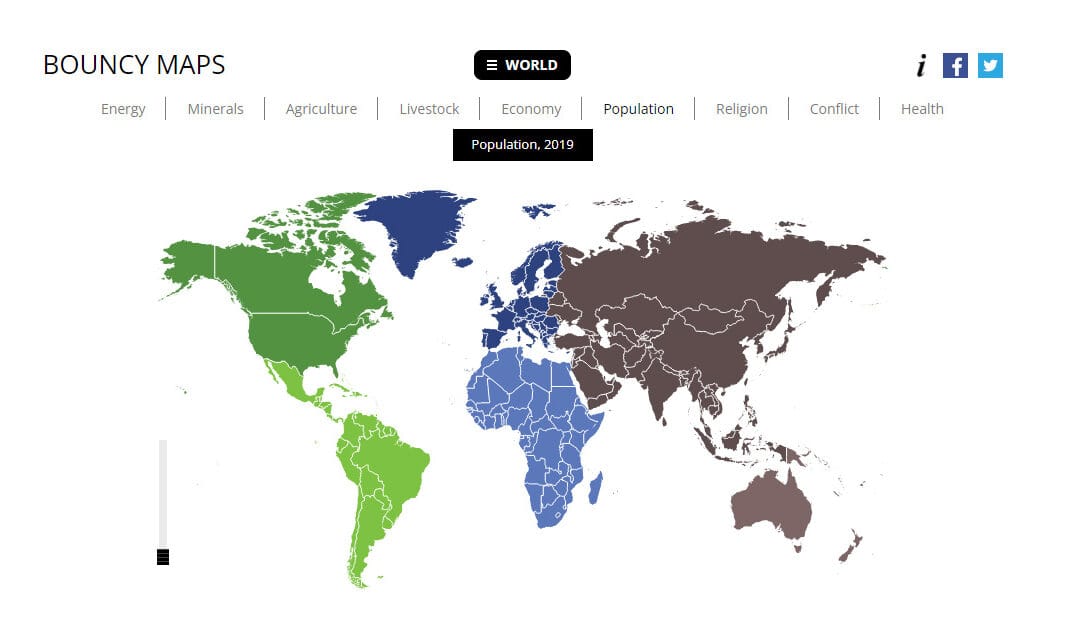
Bouncy Maps transform the map to show how large countries would be according to certain criteria.
Designed to engage pupils and inspire them to be curious and fascinated about the world.

A location-based quiz application (in browser) developed by ESRI.