Dec 16, 2024 | Digital, English, EO, RS & Sat Apps, GIS for Earth Sciences, Green, Lesson plan, Lifelong Learning, Lower Primary (5-9 years), Lower Secondary (12-15 years), Map Storytelling, Resources, Spatial, Tools, Upper Primary (9-12 years), Upper Secondary (15-18 years)
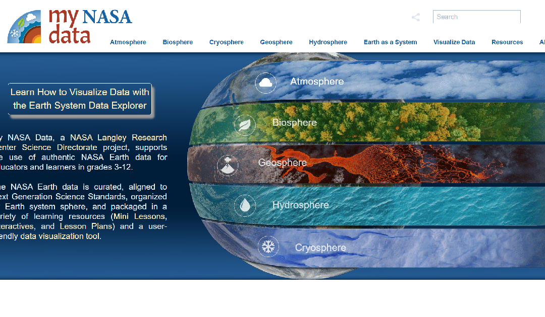
My NASA Data is an educational platform designed to make NASA’s Earth science data accessible to students, educators, and lifelong learners. The website offers a wealth of resources, including interactive tools, lesson plans, and real-world data sets, to support...
Dec 2, 2024 | Cartography & Spatial Thinking, Digital, English, EO, RS & Sat Apps, GIS for Earth Sciences, Green, Lifelong Learning, Lower Secondary (12-15 years), Map Storytelling, Resources, Spatial, Tools, Upper Primary (9-12 years), Upper Secondary (15-18 years)
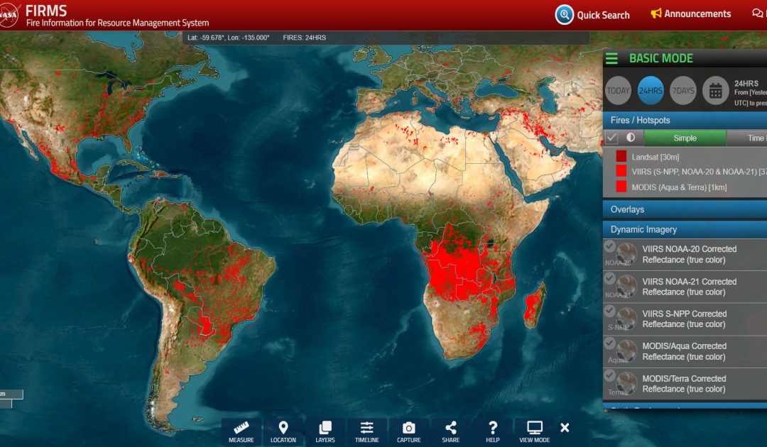
https://firms.modaps.eosdis.nasa.gov/map The FIRMS website is a tool provided by NASA’s Fire Information for Resource Management System. It provides near real-time information on active fires around the world based on satellite data. Users can view and analyse...
Dec 2, 2024 | Bulgarian, Digital, English, French, German, GIS for Earth Sciences, Greek, Green, Lifelong Learning, Lower Secondary (12-15 years), Other(s), Portuguese, Skills, Spatial, Swedish, Tools, Upper Secondary (15-18 years)
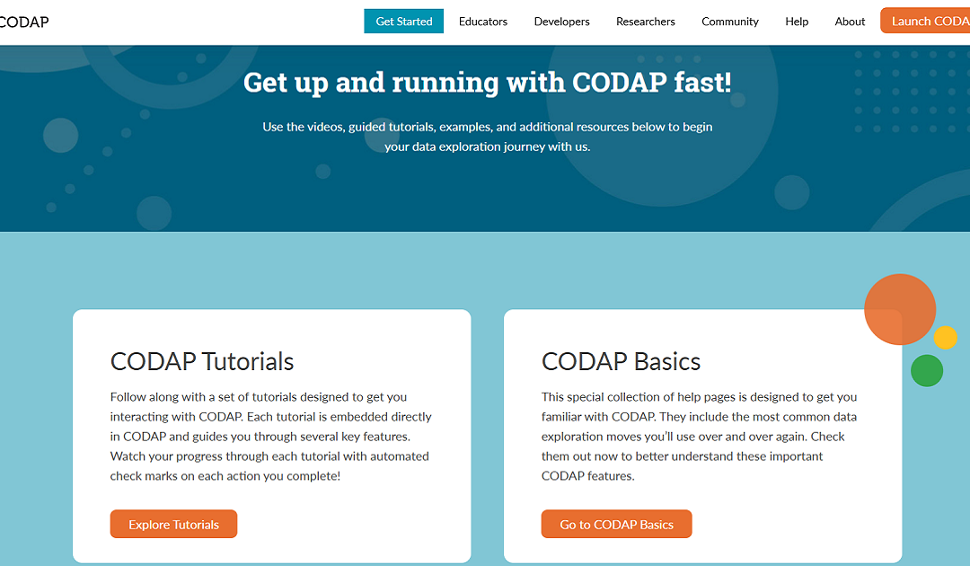
CODAP (Common Online Data Analysis Platform) is a free, web-based app designed to support students in learning and doing data science. CODAP (Common Online Data Analysis Platform) is a web-based tool designed for exploring and analyzing data, particularly in...
Jun 6, 2024 | Cartography & Spatial Thinking, Digital, English, EO, RS & Sat Apps, French, GIS for Earth Sciences, Green, Lower Secondary (12-15 years), Other(s), Portuguese, Spatial, Tools, up to 1h, Upper Secondary (15-18 years)
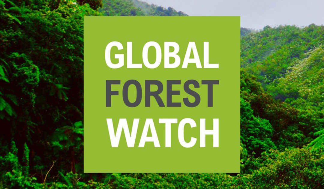
Global Forest Watch is a valuable tool for anyone interested in forest conservation, environmental protection, and sustainable development.

Jun 6, 2024 | Cartography & Spatial Thinking, Digital, English, EO, RS & Sat Apps, French, German, GIS for Earth Sciences, Greek, Green, Lower Secondary (12-15 years), Other(s), Portuguese, Spatial, Swedish, Tools, up to 1h, Upper Secondary (15-18 years)
EO Browser provides access to satellite imagery and Earth Observation data from various satellite missions.

Jun 6, 2024 | Cartography & Spatial Thinking, Digital, English, GIS for Earth Sciences, Green, Lower Secondary (12-15 years), Spatial, Tools, up to 1h, Upper Secondary (15-18 years)
The PurpleAir map website provides real-time air quality data using a network of sensors placed globally.