Jan 24, 2025 | 2-3h, Cartography & Spatial Thinking, Digital, English, EO, RS & Sat Apps, French, GIS for Earth Sciences, Green, Lesson plan, Lower Secondary (12-15 years), Other(s), Portuguese, Spatial, Upper Secondary (15-18 years)
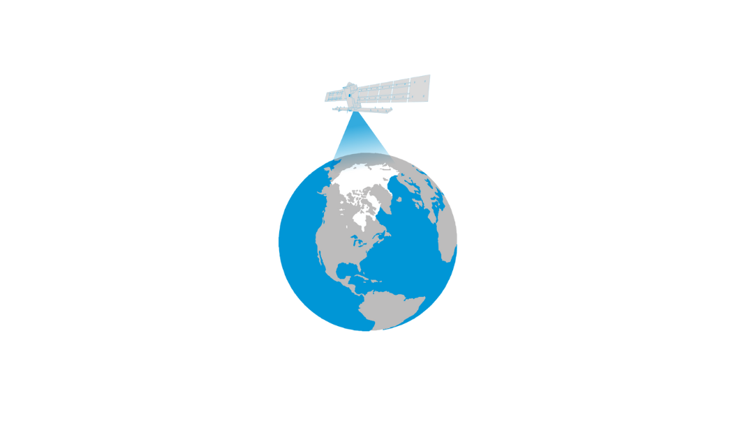
The Arctic is the most northerly area of the globe. In the Arctic Ocean, areas are entirely or partly covered by sea ice most of the year, which makes it a challenge for explorers and scientists to access the area for research. Since 1979 satellites have been...
Dec 16, 2024 | Digital, English, EO, RS & Sat Apps, GIS for Earth Sciences, Green, Lesson plan, Lifelong Learning, Lower Primary (5-9 years), Lower Secondary (12-15 years), Map Storytelling, Resources, Spatial, Tools, Upper Primary (9-12 years), Upper Secondary (15-18 years)
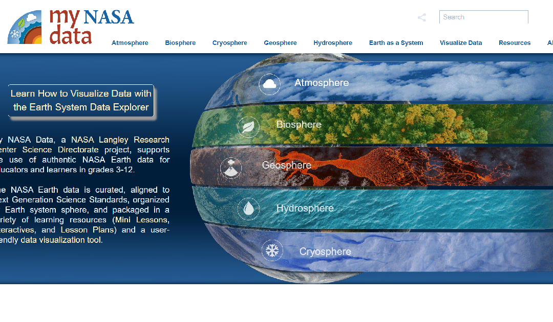
My NASA Data is an educational platform designed to make NASA’s Earth science data accessible to students, educators, and lifelong learners. The website offers a wealth of resources, including interactive tools, lesson plans, and real-world data sets, to support...