GPS Visualizer
An online utility that creates maps and profiles from geographic data
An online utility that creates maps and profiles from geographic data
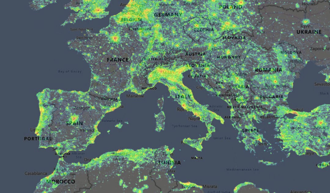
A mapping application that displays light pollution related content over Microsoft Bing base layers (road and hybrid Bing maps)
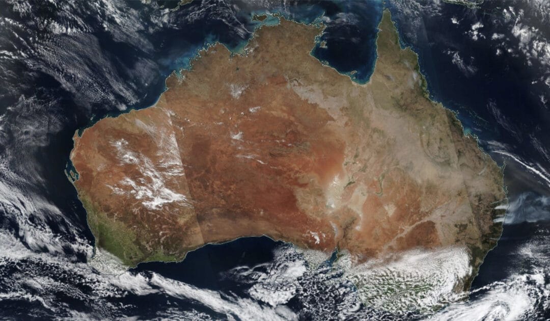
Visually explore the past and the present of the Earth from a satellite’s perspective.
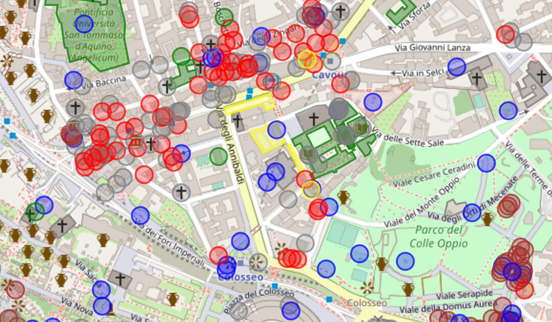
OpenStreetMap (OSM) is a collaborative project where all citizens can add geospatial data.
This API allows users to take advantage of OpenStreetMap data in Browser, with a code editor besides a map visualisation.
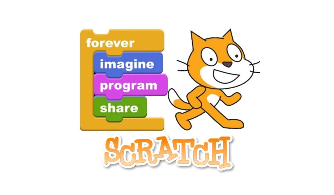
Scratch is the world’s largest coding community for children and a coding language with a simple visual interface.