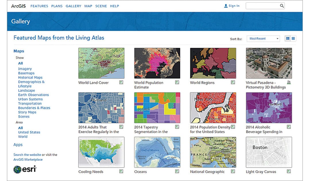
Living Atlas of the World
ArcGIS Living Atlas of the World is the foremost collection of geographic information from
around the globe. It includes maps, apps, and data layers to support your work.
ArcGIS Living Atlas of the World is the foremost collection of geographic information from
around the globe. It includes maps, apps, and data layers to support your work.

A toolkit for digital education, citizen science and environmental monitoring.

Large-scale Skills Partnership for the space sector dedicated to data, services and applications.
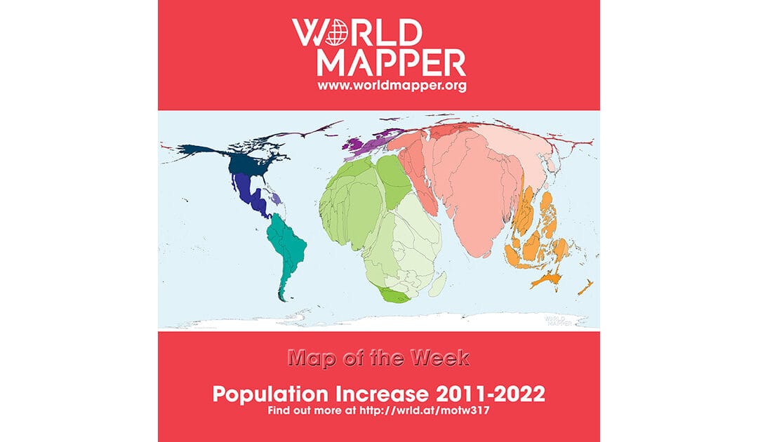
A collecton of world maps called cartograms, where territories are resized on each map according to the subject of interest.
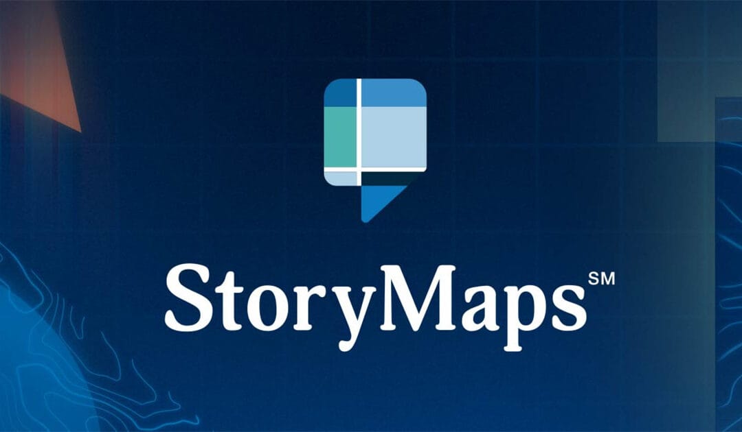
Repository of Storymaps from ESRI.
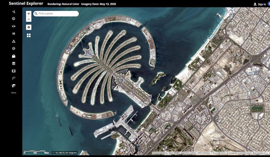
Online service for simple processing of Sentinel remote sensing data by ESRI.