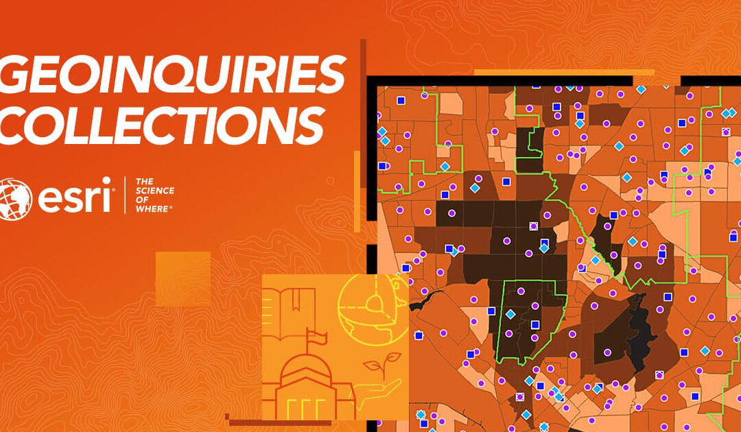
GeoInquiries Collections
Standards-based inquiry exercises designed to teach material based on maps found in widely used textbooks.
Standards-based inquiry exercises designed to teach material based on maps found in widely used textbooks.
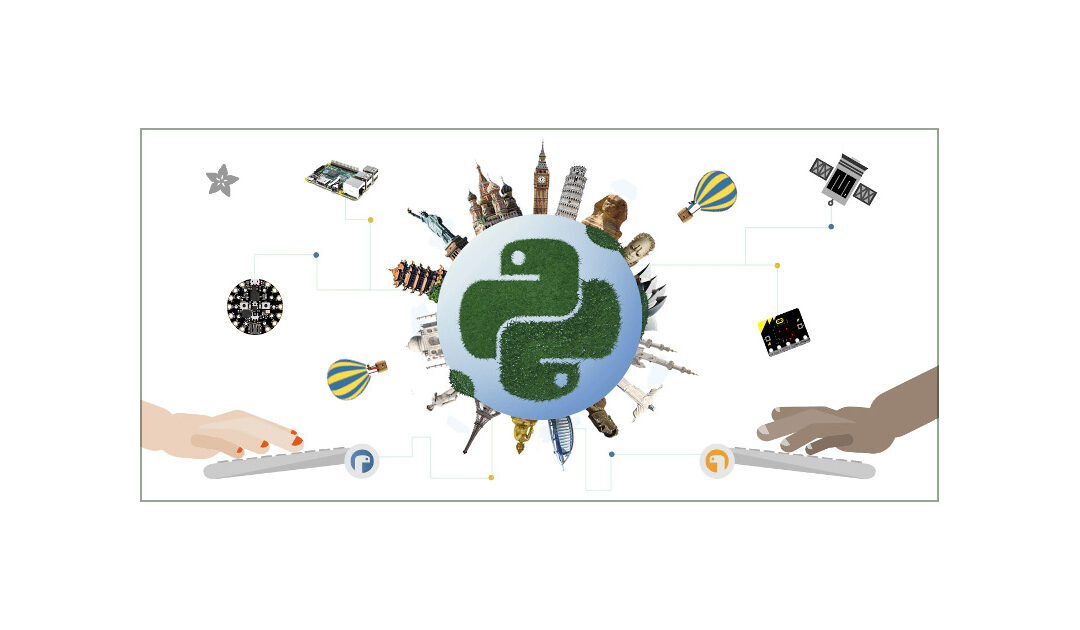
Mu is a Python code editor for beginner programmers based on extensive feedback given by teachers and learners.
Build interactive maps that explain your data and encourage users to explore.
EnviroAtlas provides geospatial data, easy-to-use tools, and other resources related to ecosystem services, their stressors, and human health.
The GIS4Schools project is a completed Erasmus+ focused on integratng GIS (Geographic Informaton System) technologies into secondary school STEAM educaton related to climate change.

A user-friendly interactive map-based educational tool on the ocean.