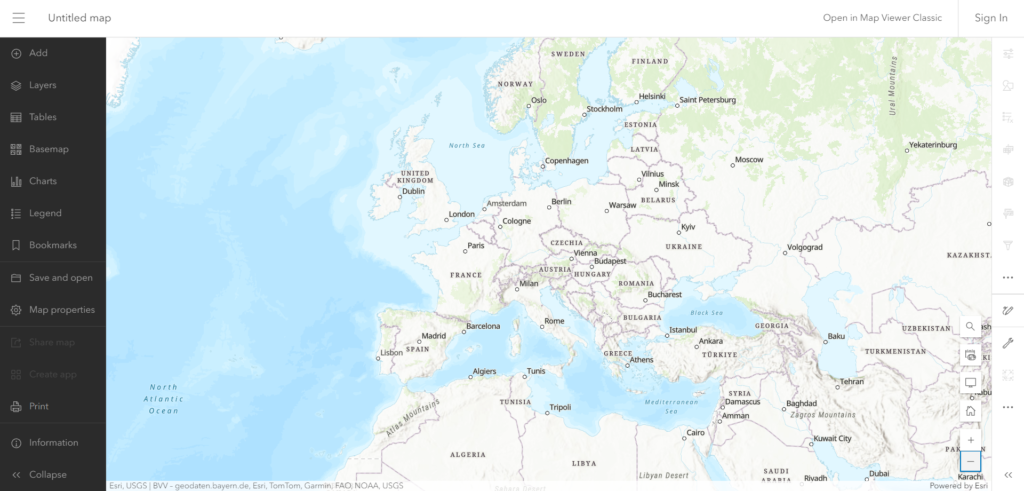
ArcGIS Online Map Viewer is a powerful tool to explore and analyze geographic information. The ArcGIS Online Map Viewer, accessible at https://www.arcgis.com/apps/mapviewer/, is a web-based application developed by Esri for interactive mapping and spatial data analysis. It allows users to create, visualize, and share maps using a wide array of geographic data.
Key features include:
- Layer Integration: Users can add various data layers to create comprehensive maps.
- Analysis Tools: The platform provides tools for performing spatial analysis, such as measuring distances, finding locations, and analyzing geographic patterns.
- Customization: Users can customize the appearance of maps with different basemaps, symbols, and styles to suit specific needs.
- Web-based: The application is designed to work across different devices, ensuring accessibility and usability.
Link to the Tool: https://www.arcgis.com/apps/mapviewer/
