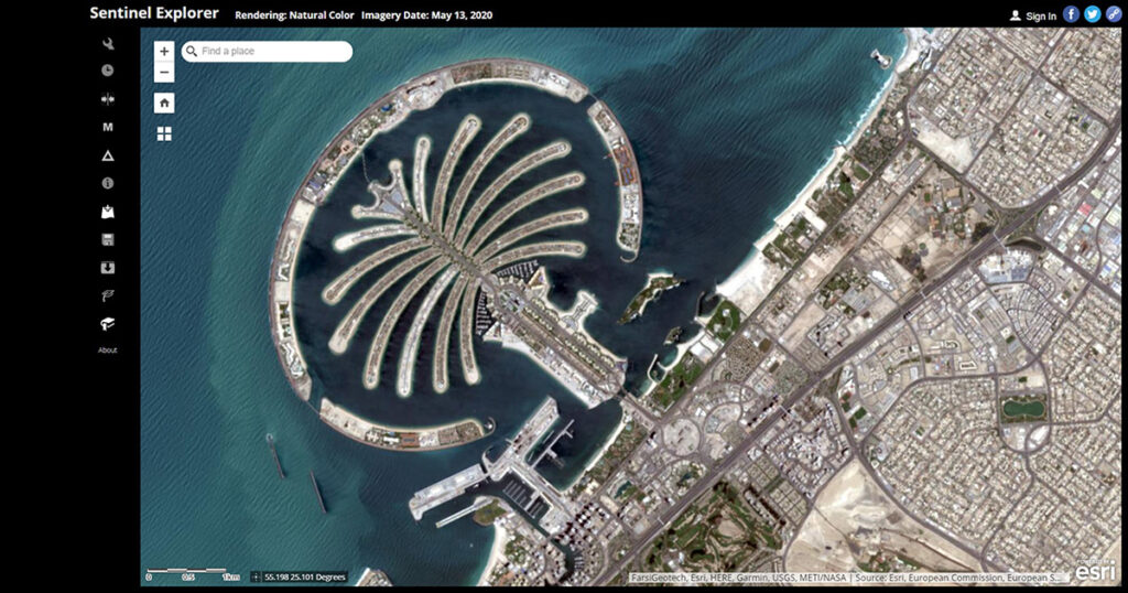
Created for you to visualize our planet and understand how the Earth has changed over time, the ESRI Sentinel Explorer app provides the power of Sentinel satellites, which gather data beyond what the eye can see.
Use this app to draw on Sentinel’s different bands to better explore the planet’s geology, vegetation, agriculture, and cities.
Additionally, access the entire Sentinel archive to visualize how the Earth’s surface has changed since June 2015.
Link to the resource: https://sentinel2explorer.esri.com