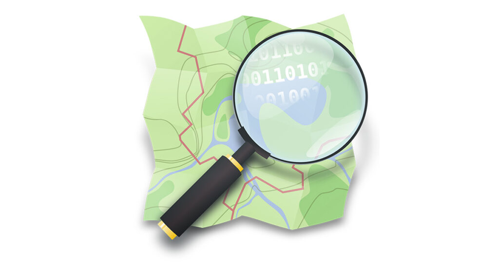
OpenStreetMap (OSM) is a collaborative project where all citizens can add geospatial data either by digitizing over high-resolution satellite imagery or by collecting data in the field with GNSS receivers (for example the ones in smartphones).
OSM emphasizes local knowledge. Contributors use aerial imagery, GPS devices, and low-tech field maps to verify that OSM is accurate and up to date. OSM uses its own topology to store geographical features which can then be exported into other GIS file formats. The OpenStreetMap website itself is an online map, geodata search engine and editor.
OSM can be used to add many types of information (https://wiki.openstreetmap.org/), to relate data and do simple spatial analysis.
The editors are very easy to use and even children can add data.
Link to the Tool: https://www.openstreetmap.org/