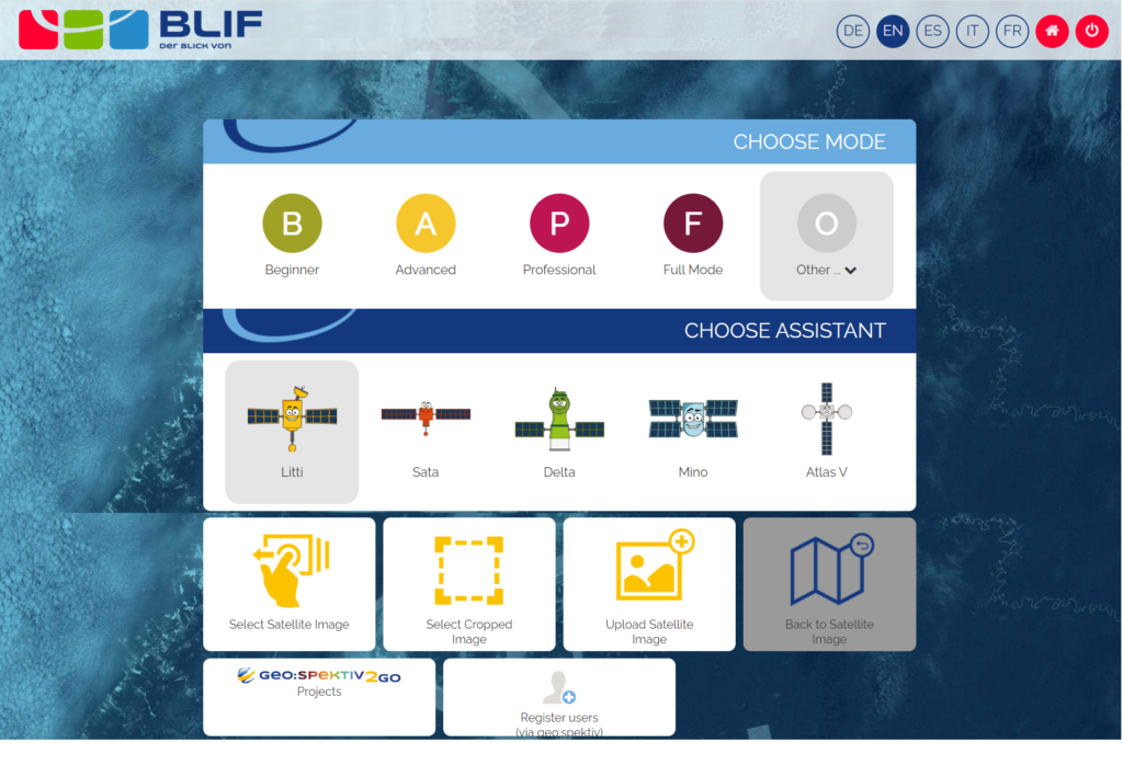
The BLIF web application makes it easy to analyse satellite images. On the left side, basic Earth observation (EO) tools are provided for contrast enhancement and the creation of colour composites. More tools such as transparency or an area-measuring tool can be found in the bar at the top. In the upper right corner, there is a zoom function and the activation of an Open Street Map background map for better orientation. On the lower right, a child-friendly avatar provides useful information and a step-by-step guide.
Link to the Tool: https://server2.blif.de/overview
Course available on the portal: “Our world from above”