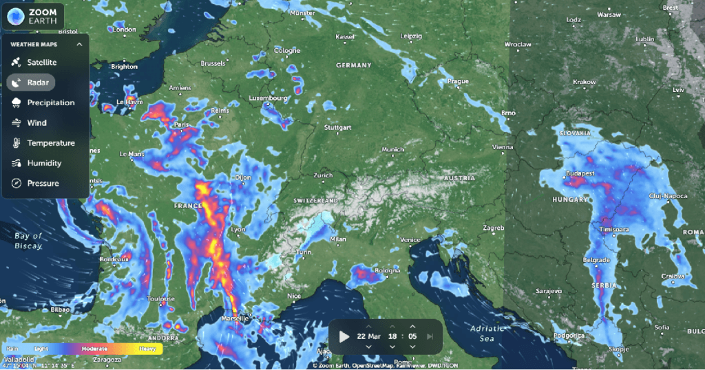
Zoom Earth is an interactive map platform that provides real-time satellite imagery, weather data, and historical Earth observation images. It allows users to track storms, wildfires, and environmental changes with high-resolution satellite updates.
LINK to the Resource: https://zoom.earth/