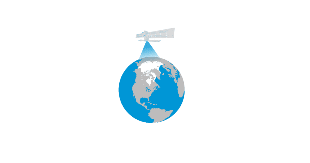
The Arctic is the most northerly area of the globe. In the Arctic Ocean, areas are entirely or partly covered by sea ice most of the year, which makes it a challenge for explorers and scientists to access the area for research. Since 1979 satellites have been monitoring sea ice. Different kinds of technologies have been used to achieve this goal. Looking at the Arctic from space allows us to acquire measurements and track changes in areas that were previously impossible.
In this set of activities, you will use satellite images to analyse sea ice concentration and extent and how these parameters have changed dramatically in the last decades. In this way you will analyse one of the most important indicators scientists have to study climate change and its possible consequences. You will work like a real climate scientist!
Link to the Resource: https://www.esa.int/Education/Teachers_Corner/Sea_ice_from_space