Resources and Tools
A selection of resources and tools curated by the GEO-Academy team.
GPS Visualizer
An online utility that creates maps and profiles from geographic data
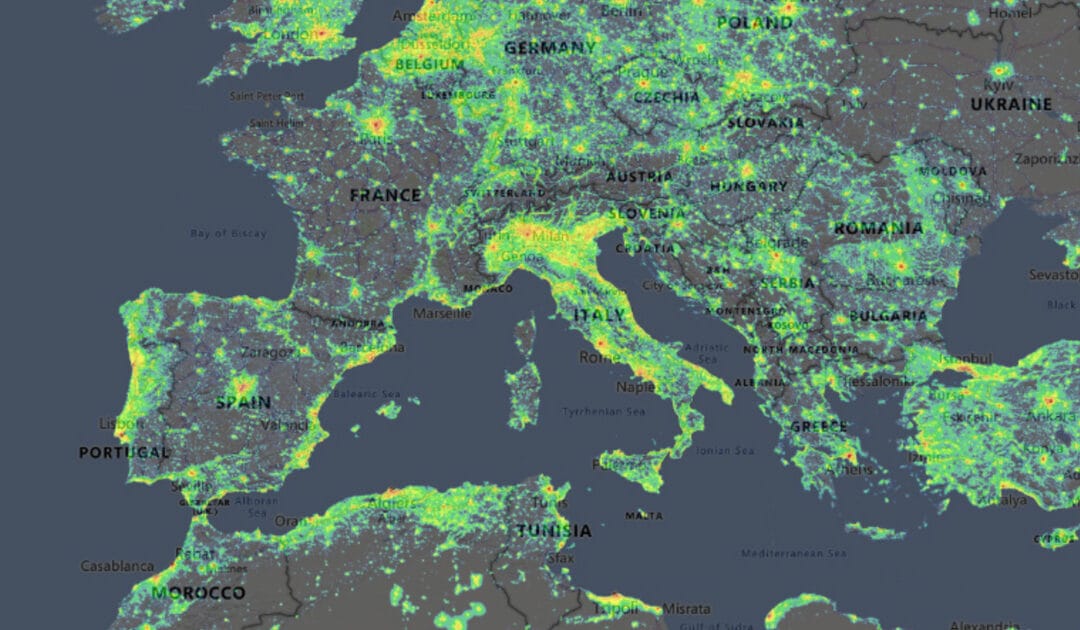
Light Pollution Map
A mapping application that displays light pollution related content over Microsoft Bing base layers (road and hybrid Bing maps)
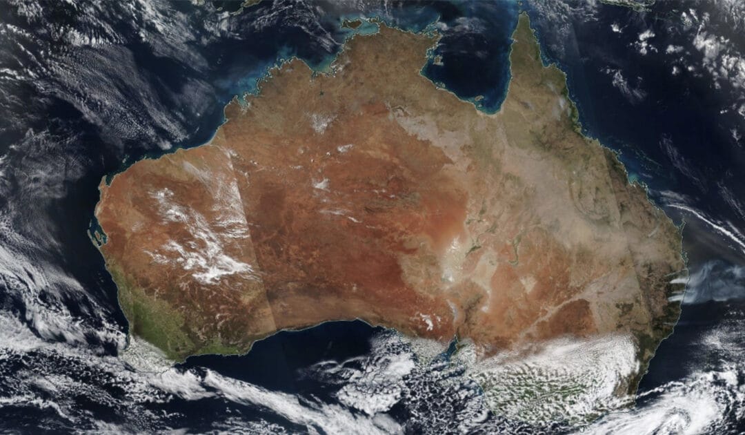
NASA WorldView
Visually explore the past and the present of the Earth from a satellite’s perspective.
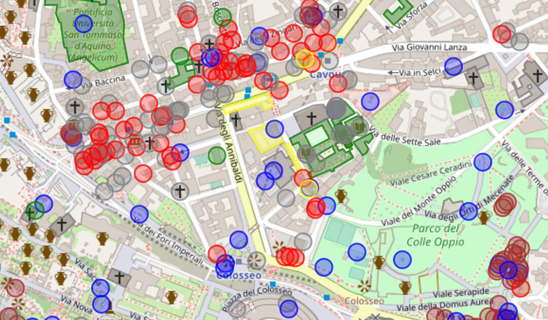
OpenStreetMap (OSM)
OpenStreetMap (OSM) is a collaborative project where all citizens can add geospatial data.
Overpass API
This API allows users to take advantage of OpenStreetMap data in Browser, with a code editor besides a map visualisation.
Scratch
Scratch is the world’s largest coding community for children and a coding language with a simple visual interface.
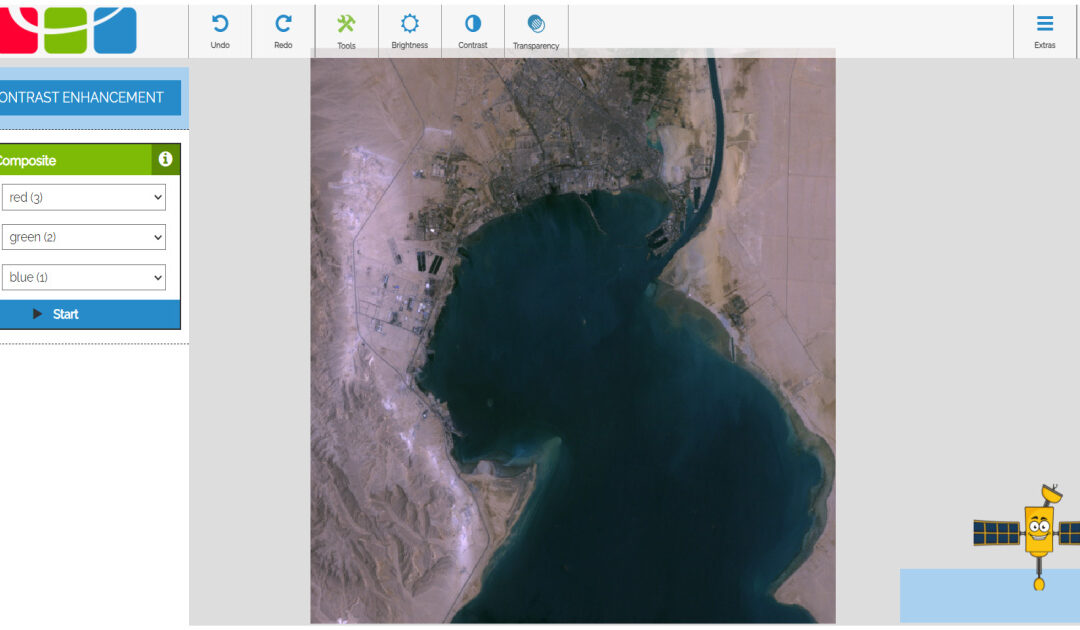
BLIF
BLIF is an application specially developed for students to analyse original satellite images.
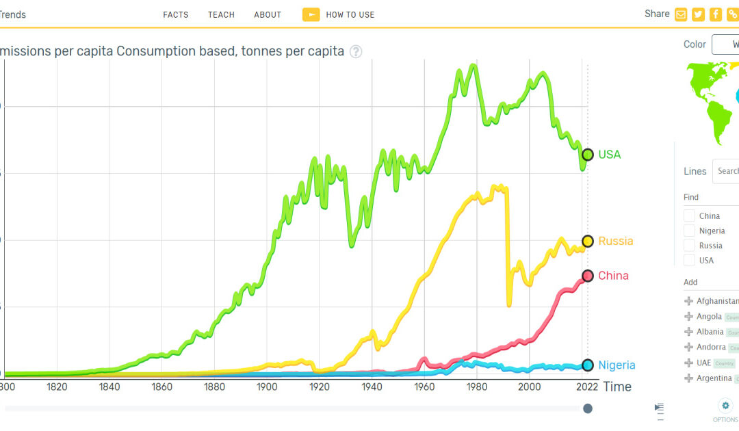
Gapminder
Gapminder is an invaluable tool for understanding our world, offering a variety of features that make complex global data accessible and engaging.