Resources and Tools
A selection of resources and tools curated by the GEO-Academy team.
ArcGIS Online Map Viewer
Build interactive maps that explain your data and encourage users to explore.
EnviroAtlas
EnviroAtlas provides geospatial data, easy-to-use tools, and other resources related to ecosystem services, their stressors, and human health.
GIS4Schools
The GIS4Schools project is a completed Erasmus+ focused on integratng GIS (Geographic Informaton System) technologies into secondary school STEAM educaton related to climate change.

European Atlas of the Seas – Teacher’s Corner
A user-friendly interactive map-based educational tool on the ocean.
Copernicus Data Space Ecosystem
The Copernicus Data Space Ecosystem offers immediate access to large amounts of open and free Earth observation data from the Copernicus Sentinel satellites.

European Space Agency (ESA) Education Programme
ESA initiative for the use of remote sensing in the classroom.
Google Earth Education
Online initiative for the use of Google Earth services in the Classroom.
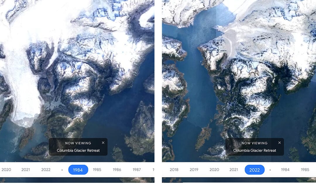
Google Earth Timelapse
Google Earth Timelapse is a global, zoomable video that lets users see how the Earth has changed since 1984.
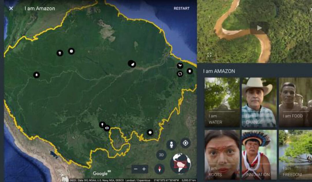
Google Earth Stories
Google Earth repository of stories created for the classroom.
NatGeo Education
Engage with National Geographic Explorers and transform learning experiences through live events, free maps, videos, interactives, and other resources.
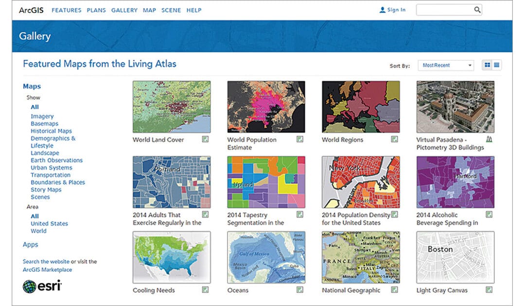
Living Atlas of the World
ArcGIS Living Atlas of the World is the foremost collection of geographic information from
around the globe. It includes maps, apps, and data layers to support your work.
senseBox
A toolkit for digital education, citizen science and environmental monitoring.
SPACE4GEO
Large-scale Skills Partnership for the space sector dedicated to data, services and applications.
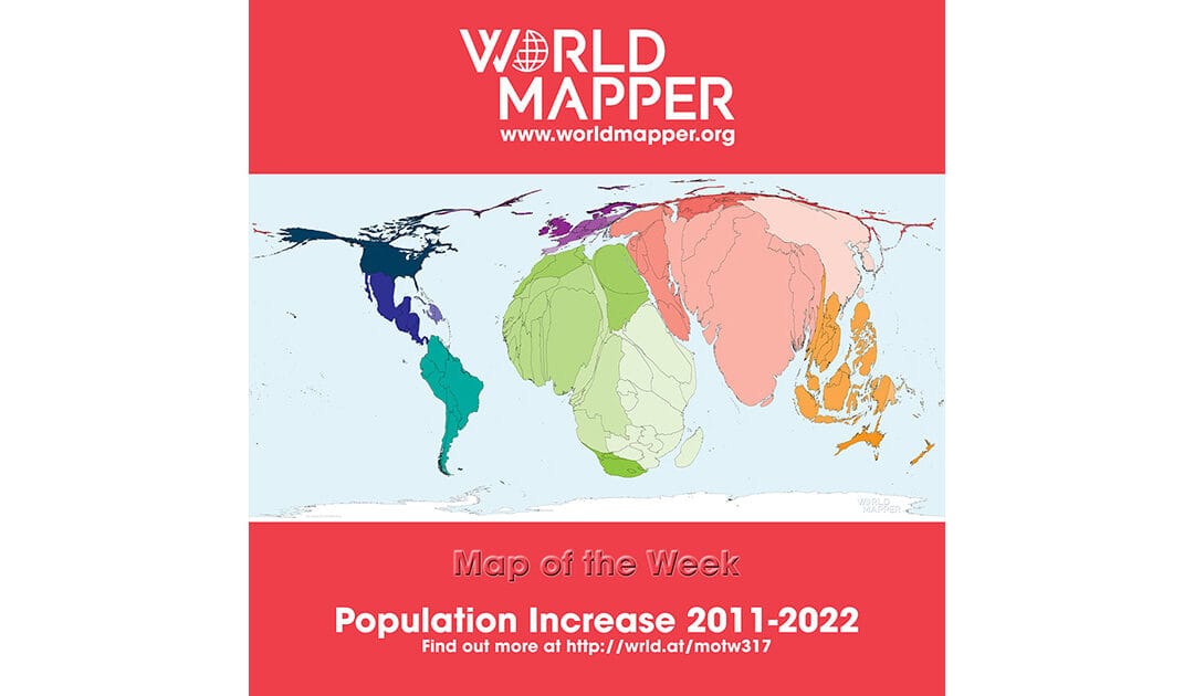
Worldmapper
A collecton of world maps called cartograms, where territories are resized on each map according to the subject of interest.
StoryMaps Repository (ESRI)
Repository of Storymaps from ESRI.
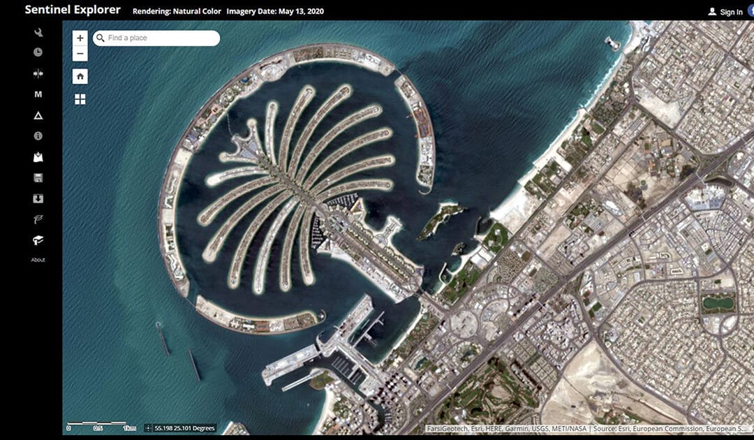
Sentinel Explorer
Online service for simple processing of Sentinel remote sensing data by ESRI.
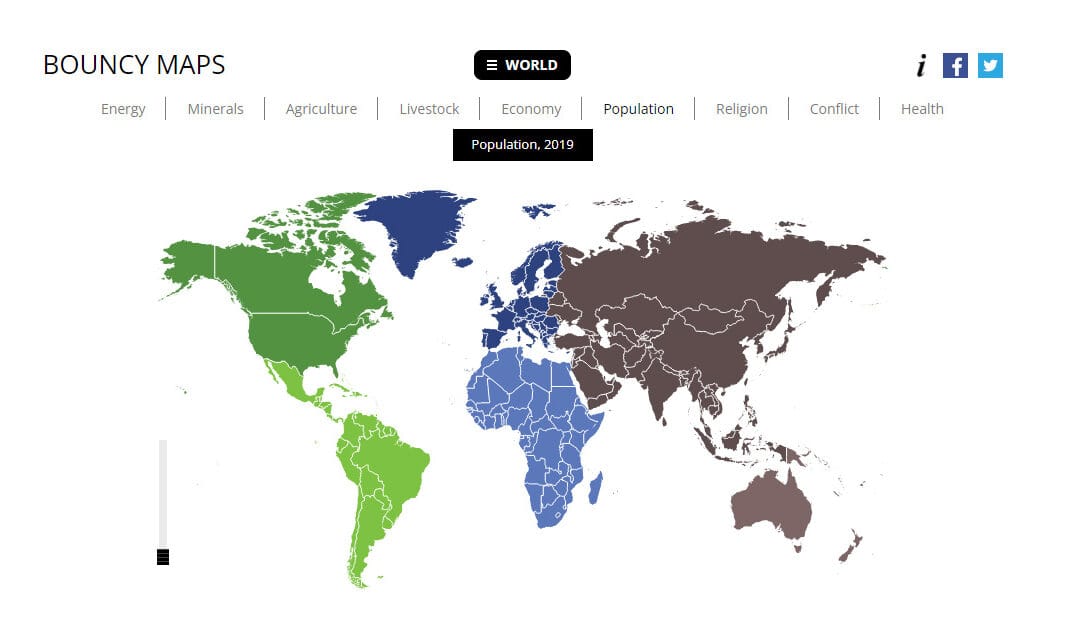
Bouncy Maps
Bouncy Maps transform the map to show how large countries would be according to certain criteria.
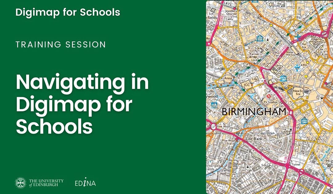
Digimap for Schools
Designed to engage pupils and inspire them to be curious and fascinated about the world.
ESRI GIS Treasure Hunts
A location-based quiz application (in browser) developed by ESRI.
Geocaching
Join the world’s largest treasure hunt!