Resources and Tools
A selection of resources and tools curated by the GEO-Academy team.
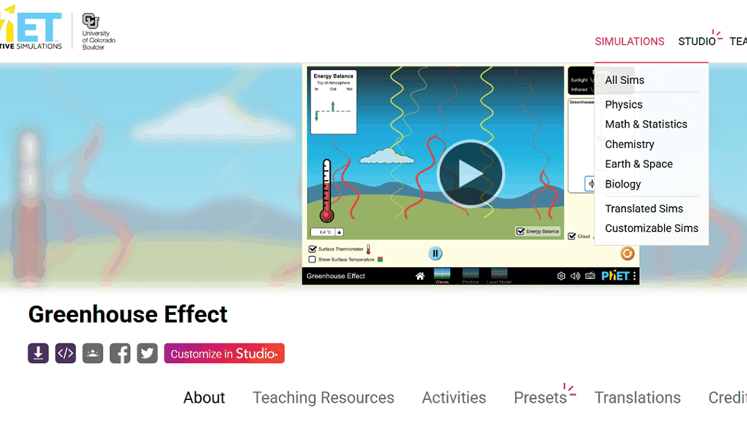
Interactive Simulations
PhET (https://phet.colorado.edu/) offers free, research-based interactive simulations for teaching science and math. Developed by the University of Colorado Boulder, these simulations help students explore concepts through inquiry and experimentation. They are ideal...
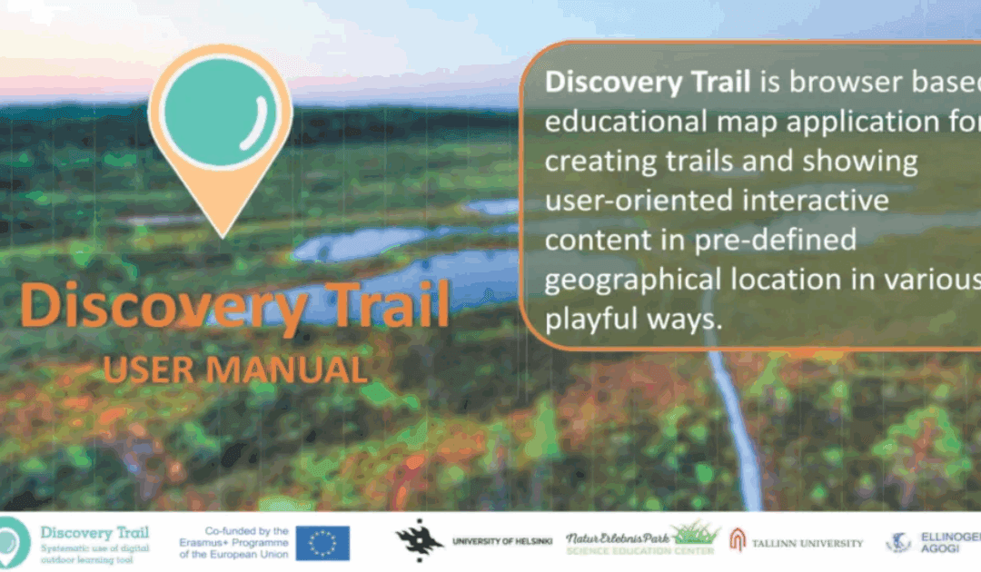
Discovery Trail
Discovery Trail simplifies the process of combining technology with outdoor learning, offering a dynamic and interactive way for students to explore their environment. This happens with its app called “Avastusrada”. Avastusrada is a digital tool that...
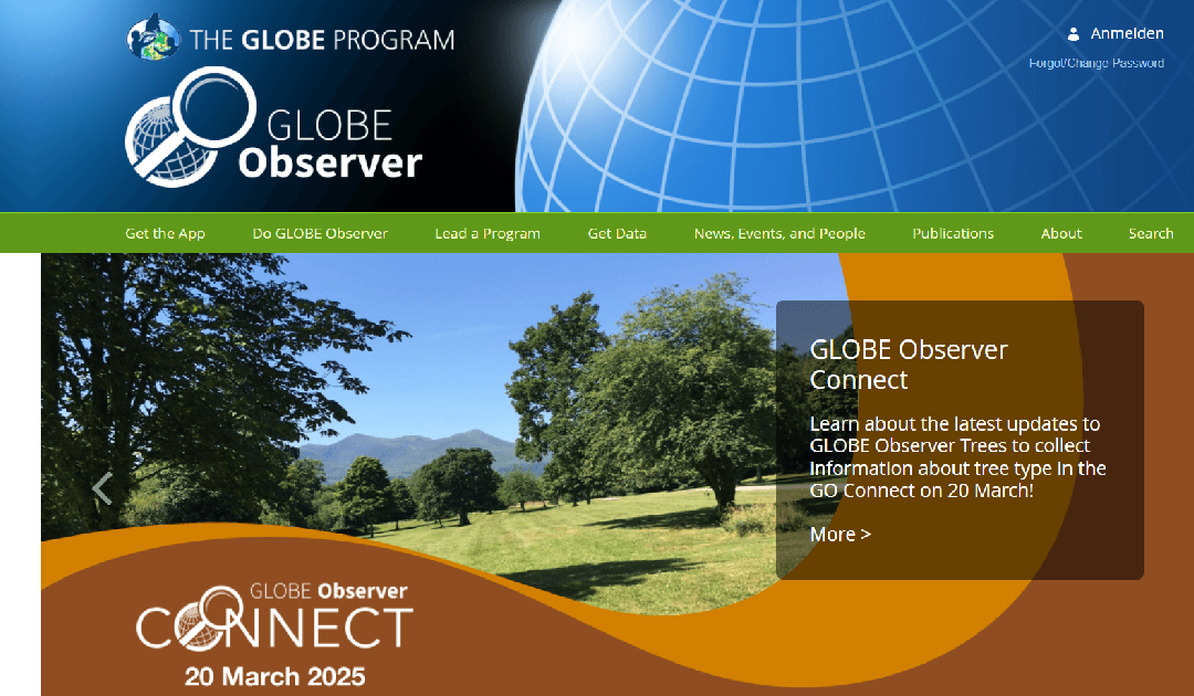
GLOBE observer
The GLOBE Observer is a citizen science app from NASA’s GLOBE Program that allows users to contribute environmental observations, such as cloud cover, land cover, and mosquito habitats, to support scientific research and climate studies. LINK to the Resource:...
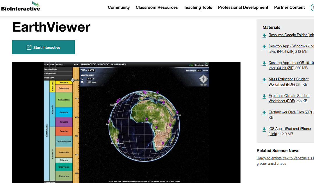
EarthViewer
EarthViewer is an interactive educational tool that enables users to explore Earth's 4.5 billion-year history. Through dynamic visualizations, it illustrates continental shifts and growth over time, allowing users to observe changes in atmospheric composition,...
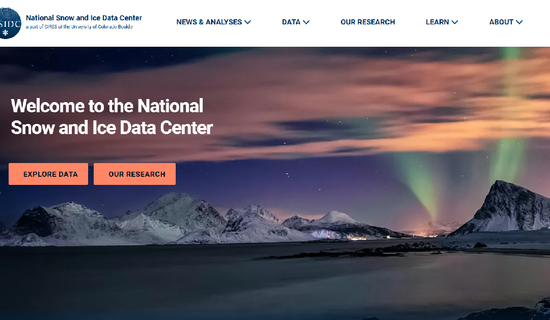
National Snow and Ice Data Center
The National Snow and Ice Data Center (NSIDC) is a leading institution dedicated to advancing the understanding of Earth's frozen regions, known as the cryosphere. Their website offers a wealth of resources, including data sets, research findings, and educational...
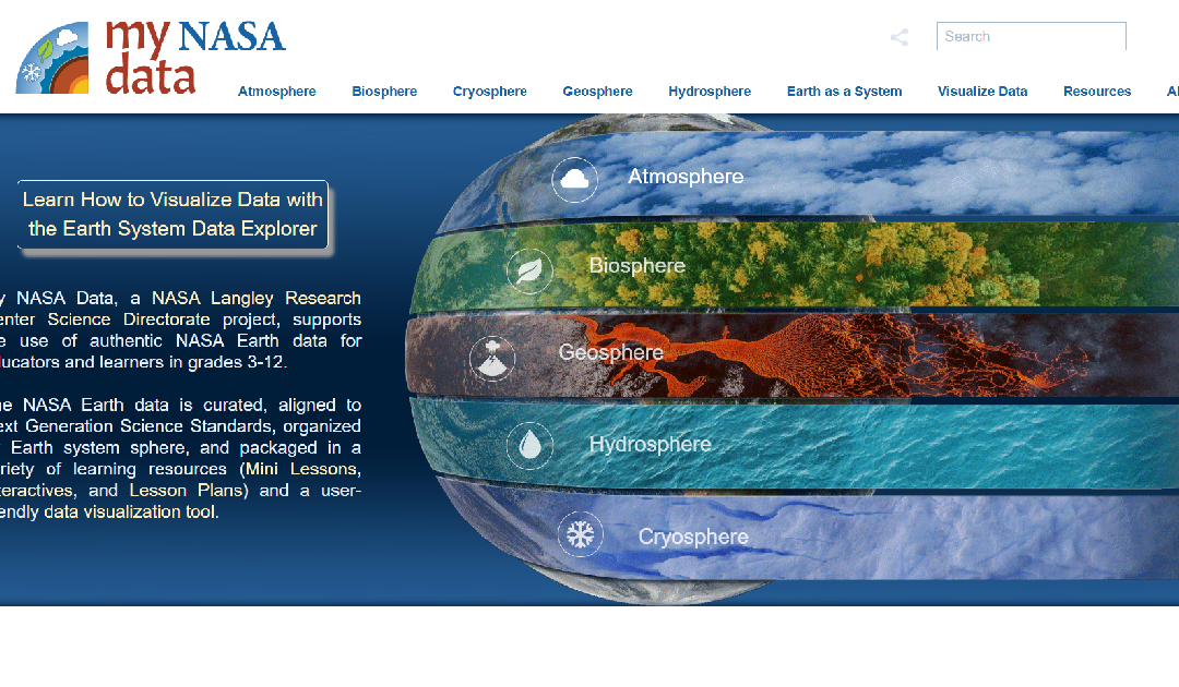
my NASA data
My NASA Data is an educational platform designed to make NASA's Earth science data accessible to students, educators, and lifelong learners. The website offers a wealth of resources, including interactive tools, lesson plans, and real-world data sets, to support the...
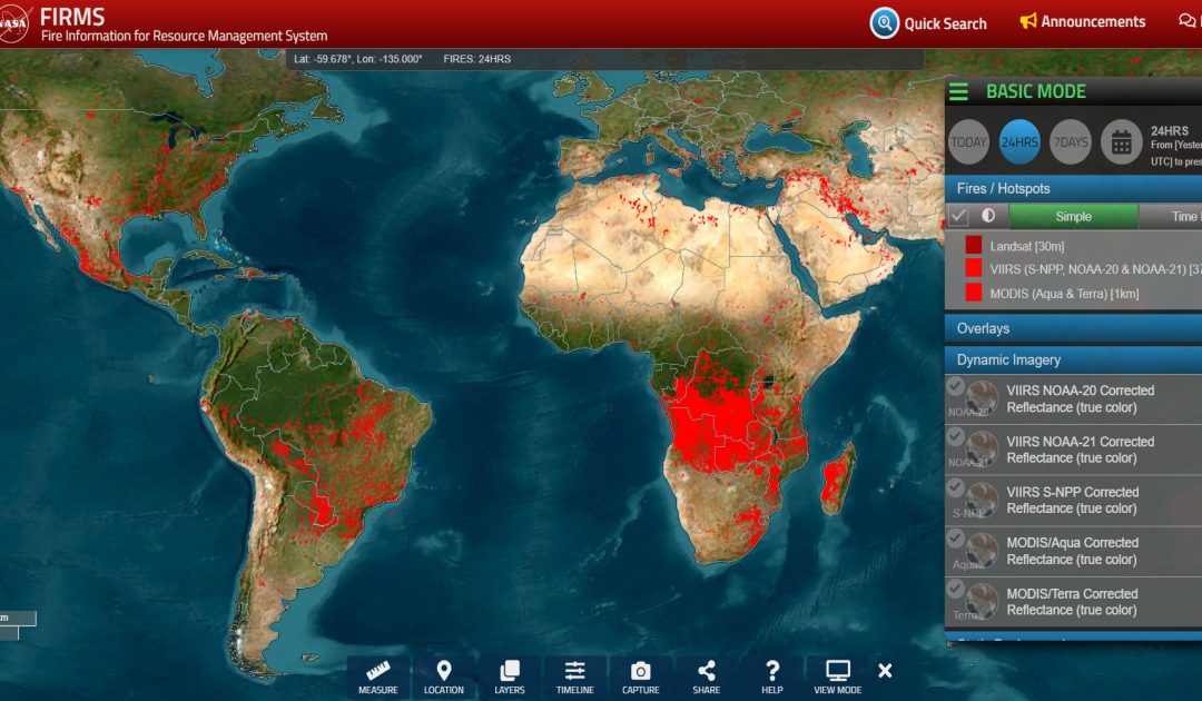
FIRMS
https://firms.modaps.eosdis.nasa.gov/map The FIRMS website is a tool provided by NASA's Fire Information for Resource Management System. It provides near real-time information on active fires around the world based on satellite data. Users can view and analyse global...
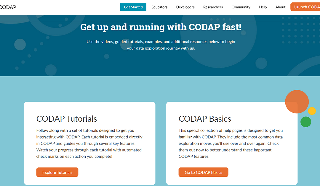
CODAP
CODAP (Common Online Data Analysis Platform) is a free, web-based app designed to support students in learning and doing data science. CODAP (Common Online Data Analysis Platform) is a web-based tool designed for exploring and analyzing data, particularly in...
World Forest Map
Global Forest Watch is a valuable tool for anyone interested in forest conservation, environmental protection, and sustainable development.

EO Browser
EO Browser provides access to satellite imagery and Earth Observation data from various satellite missions.
PurpleAir
The PurpleAir map website provides real-time air quality data using a network of sensors placed globally.
GTIF | Green Transition Information Factory
Actionable information from Earth Observation to accelerate the Green Transition of society and econom
ArcGIS Online Map Viewer
Build interactive maps that explain your data and encourage users to explore.
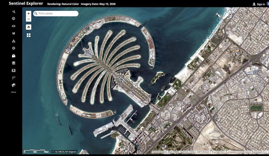
Sentinel Explorer
Online service for simple processing of Sentinel remote sensing data by ESRI.
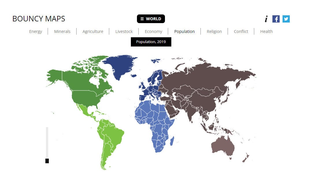
Bouncy Maps
Bouncy Maps transform the map to show how large countries would be according to certain criteria.
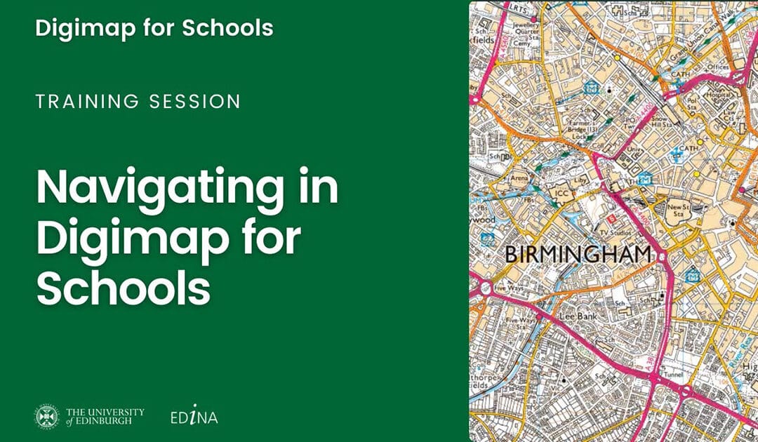
Digimap for Schools
Designed to engage pupils and inspire them to be curious and fascinated about the world.

ESRI GIS Treasure Hunts
A location-based quiz application (in browser) developed by ESRI.
Geocaching
Join the world’s largest treasure hunt!
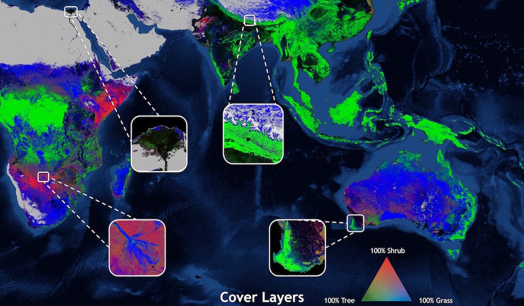
Global Land Cover Viewer
View or download Global Land Cover products.
Google Earth Studio
An animation tool for Google Earth’s satellite and 3D imagery.