

The GIS4Schools project is a completed Erasmus+ focused on integratng GIS (Geographic Informaton System) technologies into secondary school STEAM educaton related to climate change.
The Copernicus Data Space Ecosystem offers immediate access to large amounts of open and free Earth observation data from the Copernicus Sentinel satellites.
ESA initiative for the use of remote sensing in the classroom.
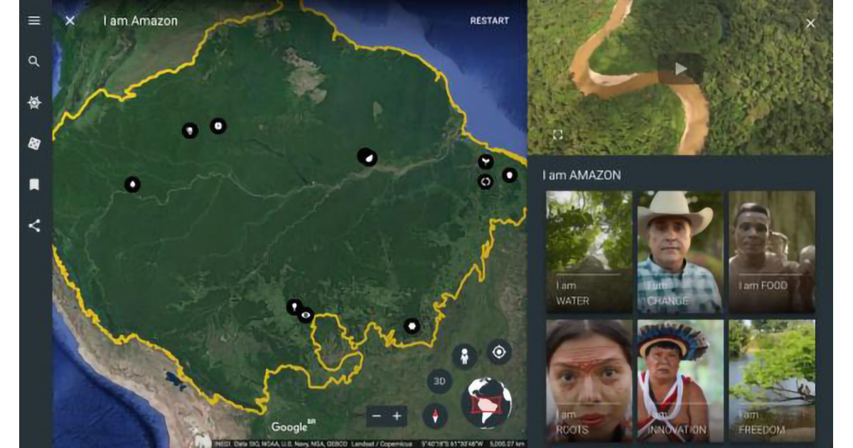
Online initiative for the use of Google Earth services in the Classroom.
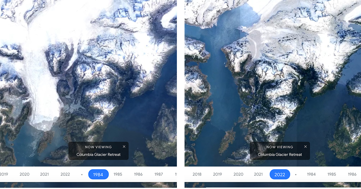
Google Earth Timelapse is a global, zoomable video that lets users see how the Earth has changed since 1984.
Google Earth repository of stories created for the classroom.
Engage with National Geographic Explorers and transform learning experiences through live events, free maps, videos, interactives, and other resources.
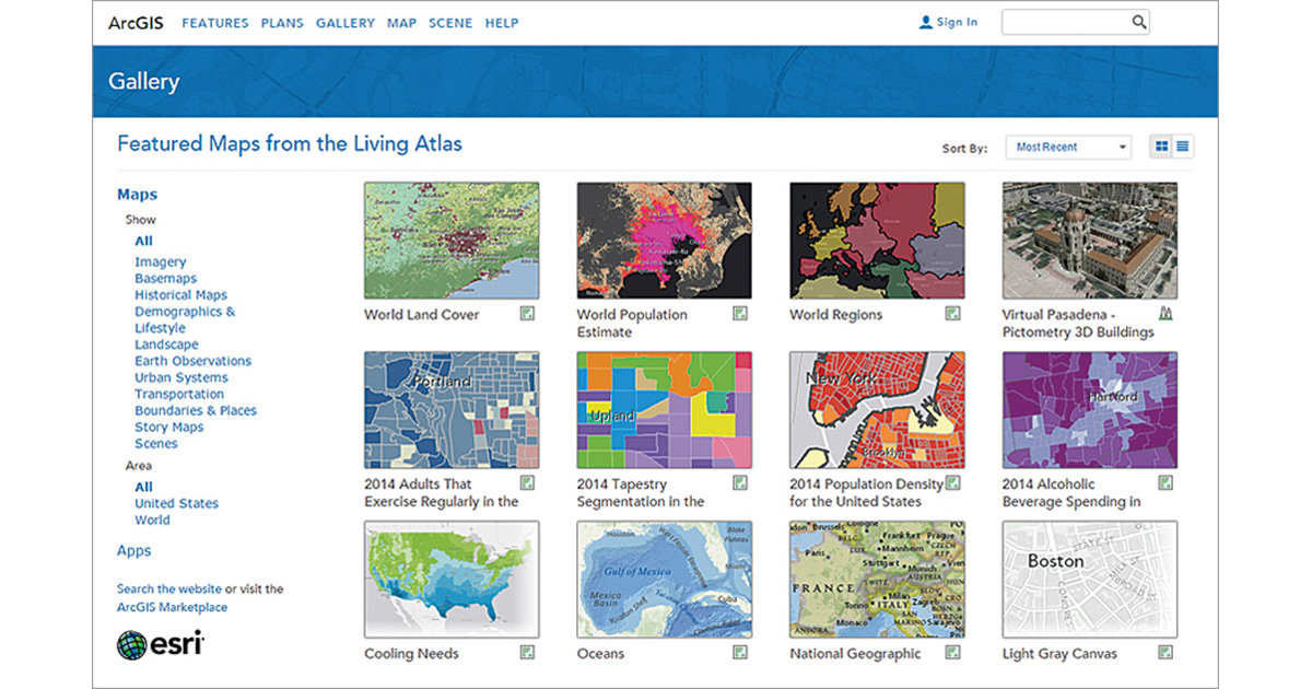
ArcGIS Living Atlas of the World is the foremost collection of geographic information from
around the globe. It includes maps, apps, and data layers to support your work.
A toolkit for digital education, citizen science and environmental monitoring.
Large-scale Skills Partnership for the space sector dedicated to data, services and applications.