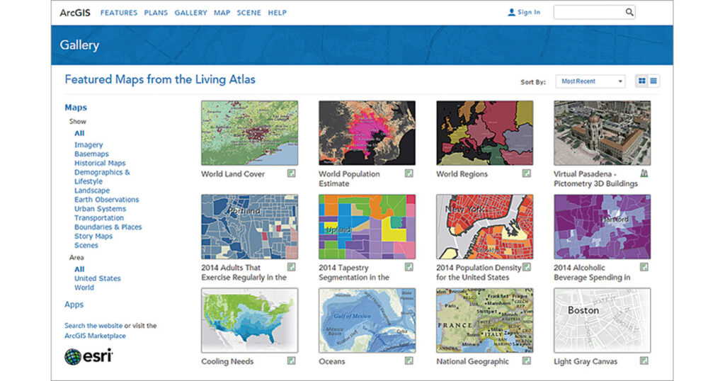
ArcGIS Living Atlas of the World is the foremost collection of geographic information from around the globe.
It includes maps, apps, and data layers to support your work. It provides easy access to one of the largest, highest-quality collections of ready-to-use geographic information that has ever been assembled.
This collection is available from any device, anywhere, at any time and is constantly growing and changing as maps, apps, and layers are added or updated by Esri and the ArcGIS user community.
One of the primary goals of the Living Atlas is to make the best information easy to discover and use.
Link to the resource: https://livingatlas.arcgis.com/en/home