
Remote Sensing and Earth Observation Team
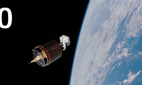
Remote sensing (RS), Earth Observation (EO) and Satellite Applications – PART 0
Remote Sensing (RS) is the science of obtaining information about objects or areas from a distance, typically from aircrafts or […]
Free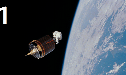
Remote sensing (RS), Earth Observation (EO) and Satellite Applications – PART 1
PART 1: Introduction to visual interpretation Introduction to Earth Observation (EO) and important concepts
Free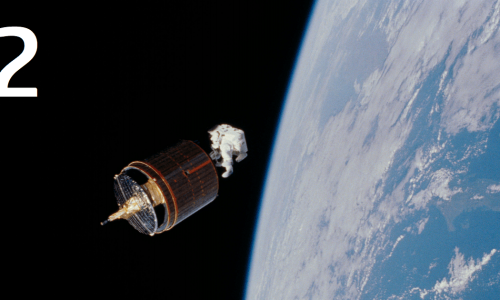
Remote sensing (RS), Earth Observation (EO) and Satellite Applications – PART 2
PART 2: Working with freely available tools and online resources Introduction to available tools and examples of how they can […]
Free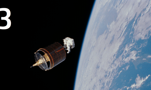
Remote sensing (RS), Earth Observation (EO) and Satellite Applications – PART 3
PART 3: Applications using satellite images and EO Examples / guidance of applications using satellite / EO data for different […]
Free
Remote sensing (RS), Earth Observation (EO) and Satellite Applications – QUIZ
Remote Sensing (RS), Earth Observation (EO), and Satellite Applications involve using satellite data and technologies to study and analyze Earth’s […]
Free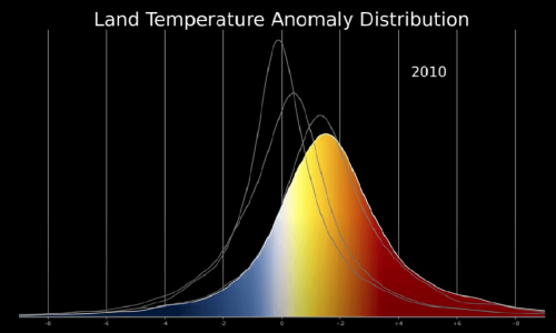
Read the data-filled world: Data Talk
Data Talks are classroom conversations that assist students improve data literacy. In a Data Talk, the teacher does not have […]
Free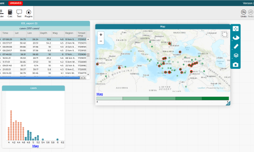
Insight into a heap of data
Of course, meanwhile you can find everything on the internet, but if – for example – the mean value (in […]
Free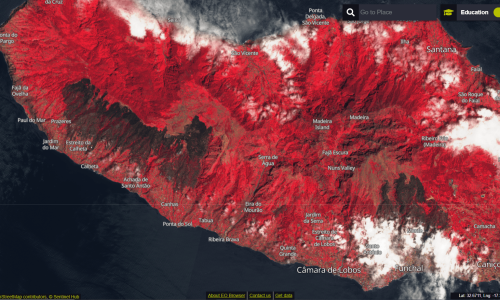
Sometimes seeing red is a good thing
The spectral analysis of a landscape using false colour representations and including the IR components in the light makes a […]
Free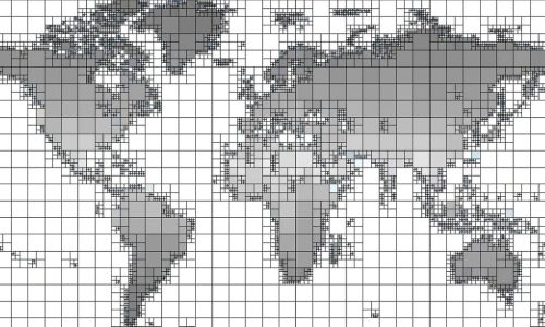
The numbers beneath the map
Digitalised maps often conceal a swarm of numbers that want to tell us something. Efficient work with maps therefore requires […]
Free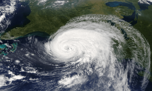
Our world from above
Student-friendly software solution for analysing satellite images The use of satellite images for monitoring, modelling and visualising environmental changes is […]
Free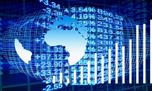
The Gap and the Mind
FeaturedGapminder offers a wide range of options for visualising data about our planet and its countries. LINK: https://www.gapminder.org/tools/
Free