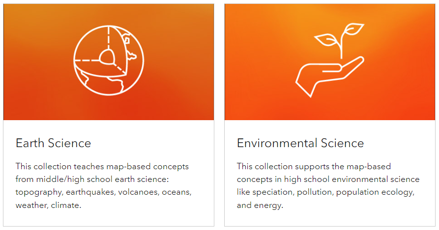
GeoInquiries™ are concise, standards-based inquiry exercises designed to teach material based on maps found in widely used textbooks. Every task is created with a common inquiry model in mind, and it may be rapidly delivered with just a computer and projector, or it can be adjusted to involve students hands-on. Throughout the year, collections of 15–20 activities per topic improve your curriculum.
Link to the resource: https://www.esri.com/en-us/industries/k-12-education/geoinquiries
