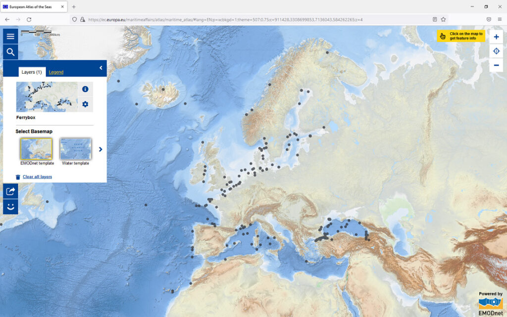
The European Atlas of the Seas is a publicly accessible web-based collection of resources on the ocean, providing interactive and diversified information in a comprehensive way to a broad public. It is composed of a collection of maps with reliable data on natural and socio-economic features in the coastal regions of Europe. The data come primarily from the European Commission and its agencies (i.e. Eurostat, European Environment Agency, …) and from the European Marine Observation and Data Network (EMODnet).
Includes presentations of the Atlas, posters, some quizzes and games, and map-based exercises for different age groups.
Link to the resource: https://maritime-forum.ec.europa.eu/theme/marine-knowledge/atlas-teachers-corner_en