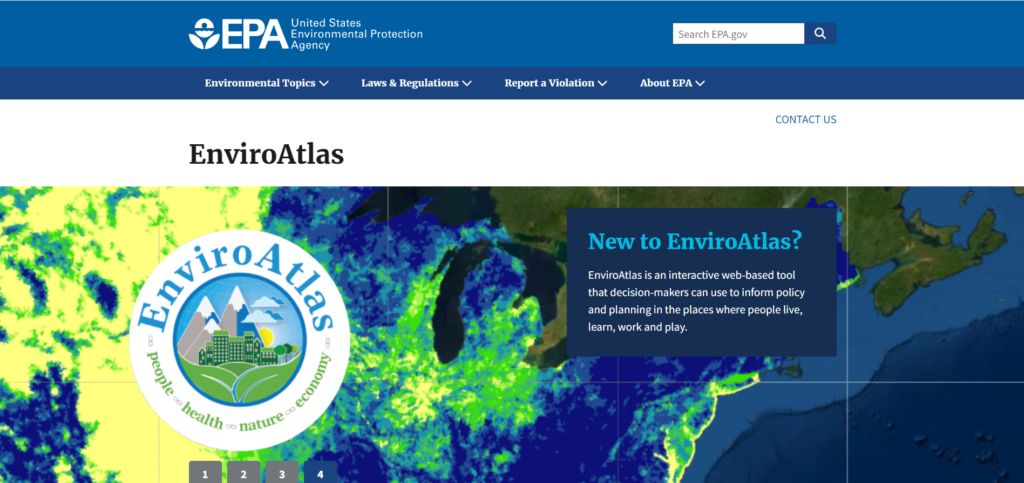
EnviroAtlas is an interactive web-based tool developed by the U.S. Environmental Protection Agency (EPA) that provides users with a comprehensive collection of data and maps related to environmental health, ecosystem services, and human well-being. It is a valuable resource for accessing and visualizing environmental information to promote environmental awareness. Key features include:
- Interactive Maps: Users can explore a variety of geospatial data layers related to the environment, such as air and water quality, biodiversity, land use, and ecosystem services.
- Data Analysis: Offers tools for analyzing spatial relationships and patterns.
- Educational Resources: Provides educational materials and resources to help users understand and utilize environmental data effectively.
- Customization: Users can customize maps by adding or removing layers, changing basemaps, and adjusting data visualization options.
Link to the resource: https://www.epa.gov/enviroatlas