Lesson Plan: Solving Longitude – A Scientific and Historical Quest | UCF-3.2.1
The story of determining longitude is a compelling historical case that combines science, navigation, problem-solving, and human perseverance. It makes a great interdisciplinary lesson blending geography, physics, history, and critical thinking.
The Longitude Problem – How Science Helped Sailors Know Where They Were
Lesson Plan:
Grade Level: Upper Primary to Lower Secondary (ages 11–14)
Subjects: Geography, History, Science (Physics), STEM
Learning Objectives
By the end of this lesson, students will:
- Understand the historical problem of determining longitude at sea.
- Explain how time and navigation are connected.
- Explore the scientific principles behind measuring longitude.
- Reflect on how scientific challenges are solved over time.
- Appreciate the human stories behind scientific progress.
Materials Needed
- World map or globe
- Access to short clips or animations explaining longitude (YouTube or teacher-created)
- Stopwatch or timer (real or app-based)
- Student worksheet (provided below)
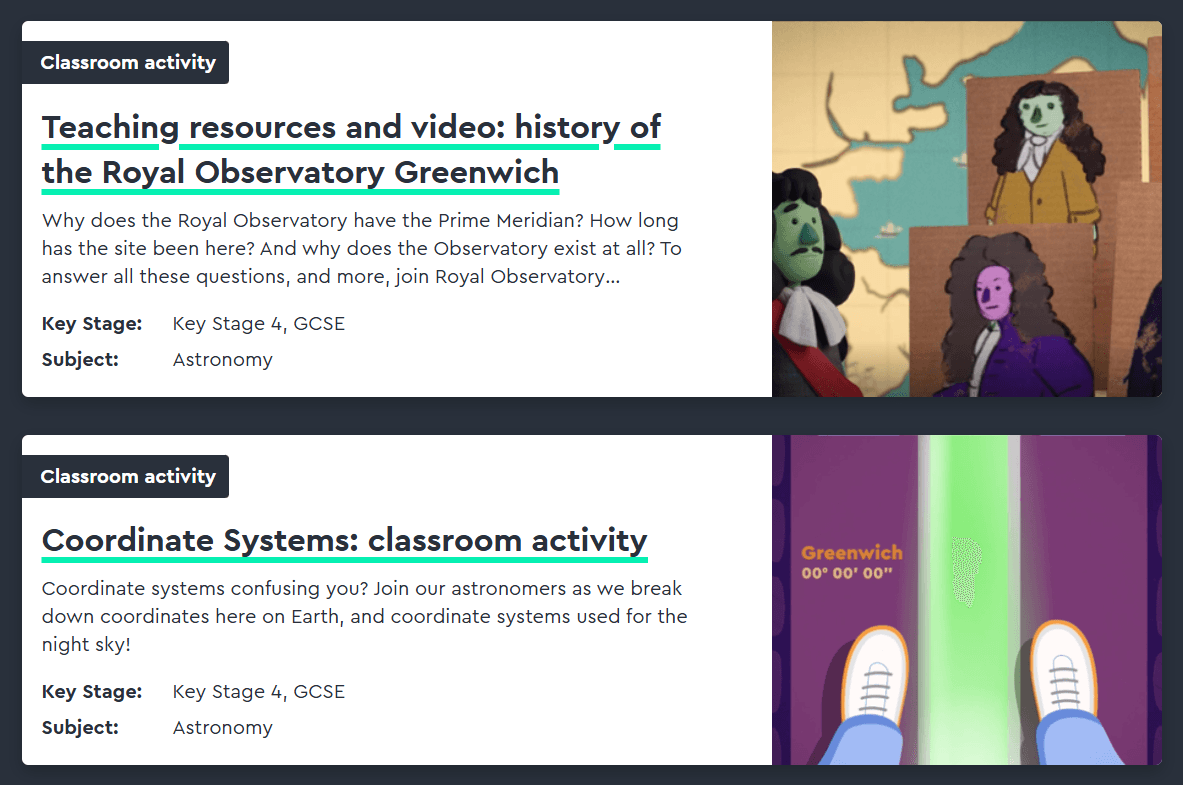
- Optional: access to Longitude animations from Royal Museums Greenwich
Lesson Activities
- Introduction: The Big Problem (15 minutes)
- Ask students: How do you know where you are in the world?
(Prompt with GPS, Google Maps, coordinates) - Introduce latitude and longitude with a quick globe or map demonstration.
- Ask: Which is easier to measure—latitude or longitude? Why?
- Show a short animation or tell the story of how sailors knew latitude (sun’s angle) but had no reliable way to measure longitude, leading to shipwrecks and lost lives.
- Storytime – The Race to Solve Longitude (20 minutes)
- Briefly present the story of the Longitude Act (1714) and the reward offered by the British government.
- Introduce key characters:
- John Harrison, the clockmaker
- Astronomers who preferred a celestial solution
- Use a timeline or short illustrated story to highlight how:
- Longitude = Time difference from a known location (e.g., Greenwich)
- The challenge: accurate clocks didn’t exist that could work at sea.
- The Science of Longitude – Time is Distance (30 minutes)
Mini-Thought-Experiment:
- Pose the question: If the Earth rotates 360° in 24 hours, how far does it rotate in one hour?
→ 15° per hour - Explain: If you know the time at home (e.g., Greenwich) and the local time on the ship, the difference tells you your longitude.
Group Task (Worksheet-guided):
- Give students simulated time data (e.g., Greenwich local time is 12:00, your ship’s simultaneous time is 10:00).
- Ask them to calculate their longitude:
- 2 hours × 15° = 30°
- Since local time is behind, you’re west of Greenwich.
- Critical Reflection: Invention and Resistance (15 minutes)
- Connect to modern-day GPS and how it depends on very precise timekeeping.
Student Worksheet (short version)
The Longitude Problem
- What is Longitude?
………………………………………………………………………………………………………..
- Why was it hard to find at sea?
………………………………………………………………………………………………………..
- How is time connected to longitude?
………………………………………………………………………………………………………..
- Practice Calculation:
If your local noon happens at 3 hours after Greenwich noon, what is your longitude?
______ hours × 15° = _______°
Are you east or west? ___________
More in-depth options:
- Use individual (short) sequences from the film ‘Longitude’ to get the students interested in the topic. (e.g., https://www.youtube.com/watch?v=FSrCBD11uPk&t=17s).
- Visit the Royal Museums Greenwich Learning Resources: https://www.rmg.co.uk/stories/time
- Build a simple sundial: e.g., in a primary school: https://www.youtube.com/watch?v=SeSexM-wVzA
Curriculum Links
- Science: Measurement, physics of time, Earth’s rotation
- Geography: Coordinate systems, navigation
- History: Scientific revolution, 18th-century society, exploration
- Critical Thinking: Science and society, resistance to new ideas, fairness of scientific recognition
Didactic notes for implementation:
It is important to explicitly introduce cartographic projection as a central concept. Maps should be presented as representations of reality rather than neutral copies, emphasizing that every projection involves simplifications and distortions. This can be illustrated with a concrete example, such as the overrepresentation of Arctic regions in the Mercator projection, which demonstrates how area and shape can be distorted depending on the chosen projection.
A connection to Mathematics is self-evident, particularly by referring to the concepts of proportion, scale, and area, which are essential for understanding map representations and distortions.
When addressing the topic of solving longitude, it would be useful to explain more clearly why determining latitude was considerably easier than determining longitude. Latitude could be measured relatively simply through observations of the Polar Star in the Northern Hemisphere or the Sun’s angle, whereas longitude required accurate timekeeping and therefore posed a much greater challenge.