Round the Eiffel Tower
The following exercise is intended to familiarise students with the meaning of decimal places and the effect of rounding numbers in connection with longitude and latitude.
Open the following page:
https://www.arcgis.com/apps/mapviewer/index.html?webmap=fce1f5d41bbf4eafbbc5757a57a01cfe
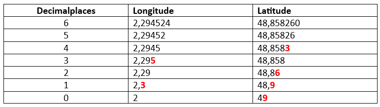
The following graphic shows us where we end up when someone tells us the position of the Eiffel Tower – and always simply omits more and more decimal places for the longitude and latitude.
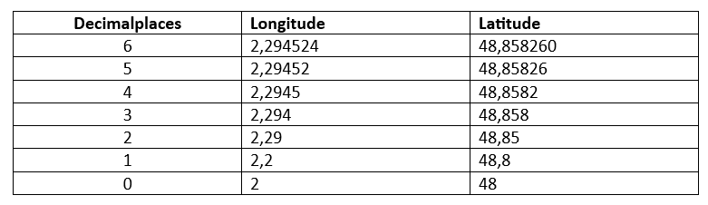
Accuracy (discarding decimal places and their visible effect on a map):
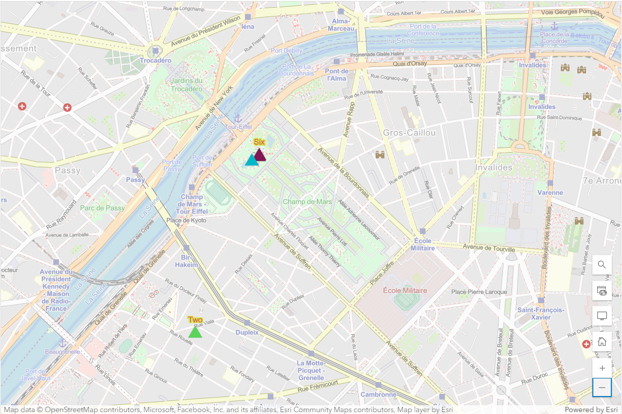
To recognise the more minor effects, we need to zoom in on the map:
We see similar (but not identical) effects if we round the longitudes and latitudes mathematically correctly.
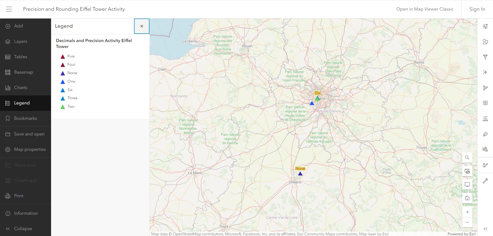
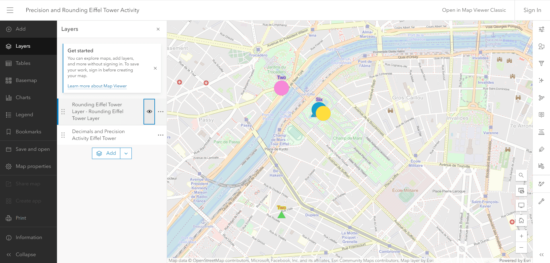
To do this, we need to activate the visibility of another layer of the map (menu navigation on the left):
Layers:
Visibility: Rounding Eiffel Tower
Accuracy (rounding of decimal places and their visible effects on a map):
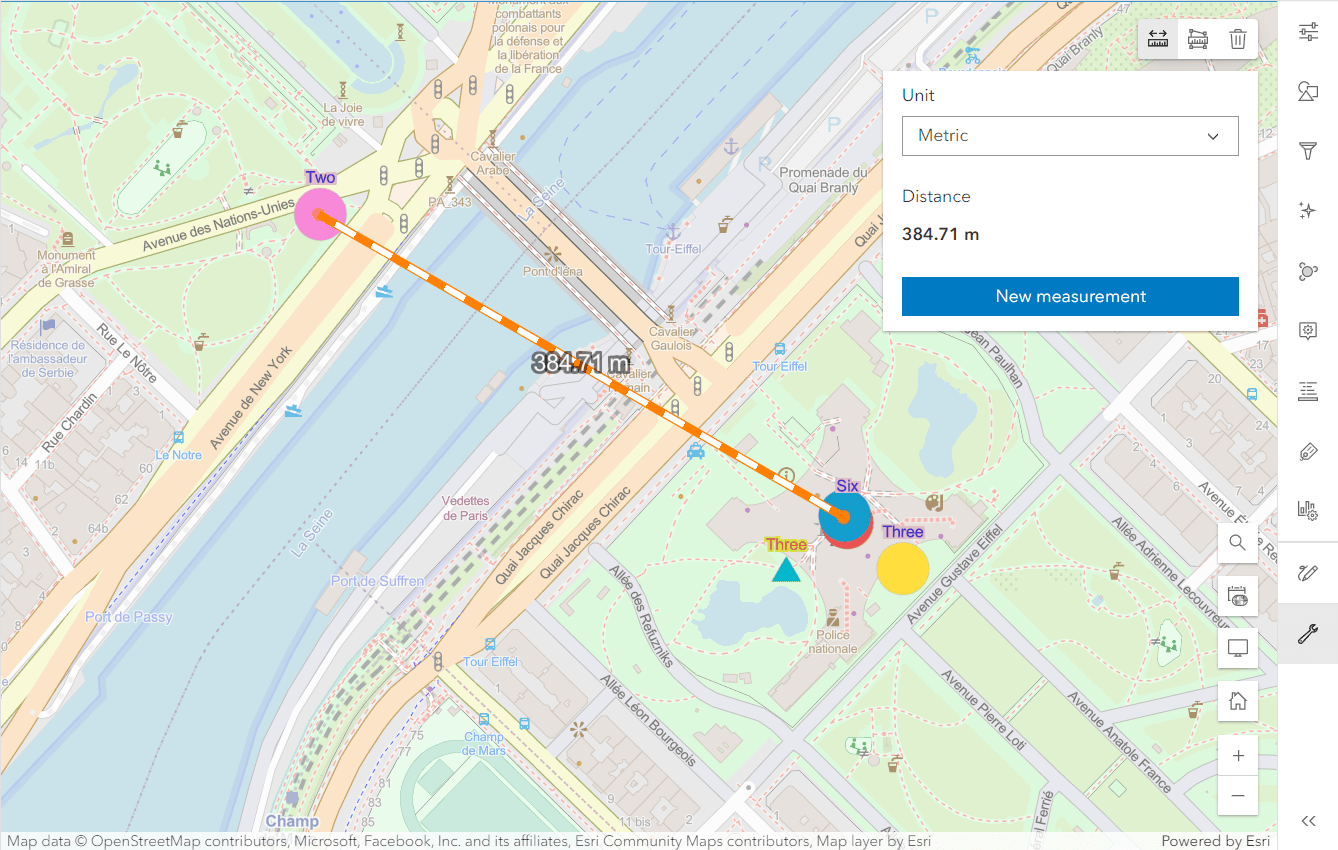
To measure the difference between the individual position coordinates, we use the distance measurement tool. This can be found on the left-hand side:
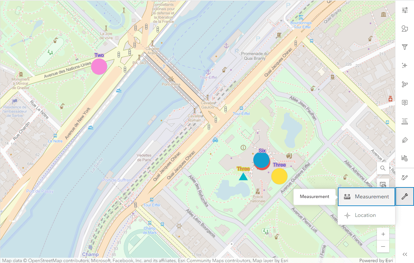
We also change the unit to SI units.