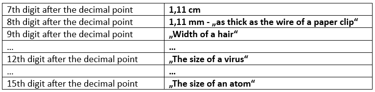
Precision at the Equator
Precision at the equator – start with the following page:
https://www.arcgis.com/apps/mapviewer/index.html?webmap=b02ef0f9af5e47eeb6b4d5da0505155d
This map shows the most important reference lines on Earth.
We now zoom in very close to the equator to find the distance between two points with a 1° difference in longitude.
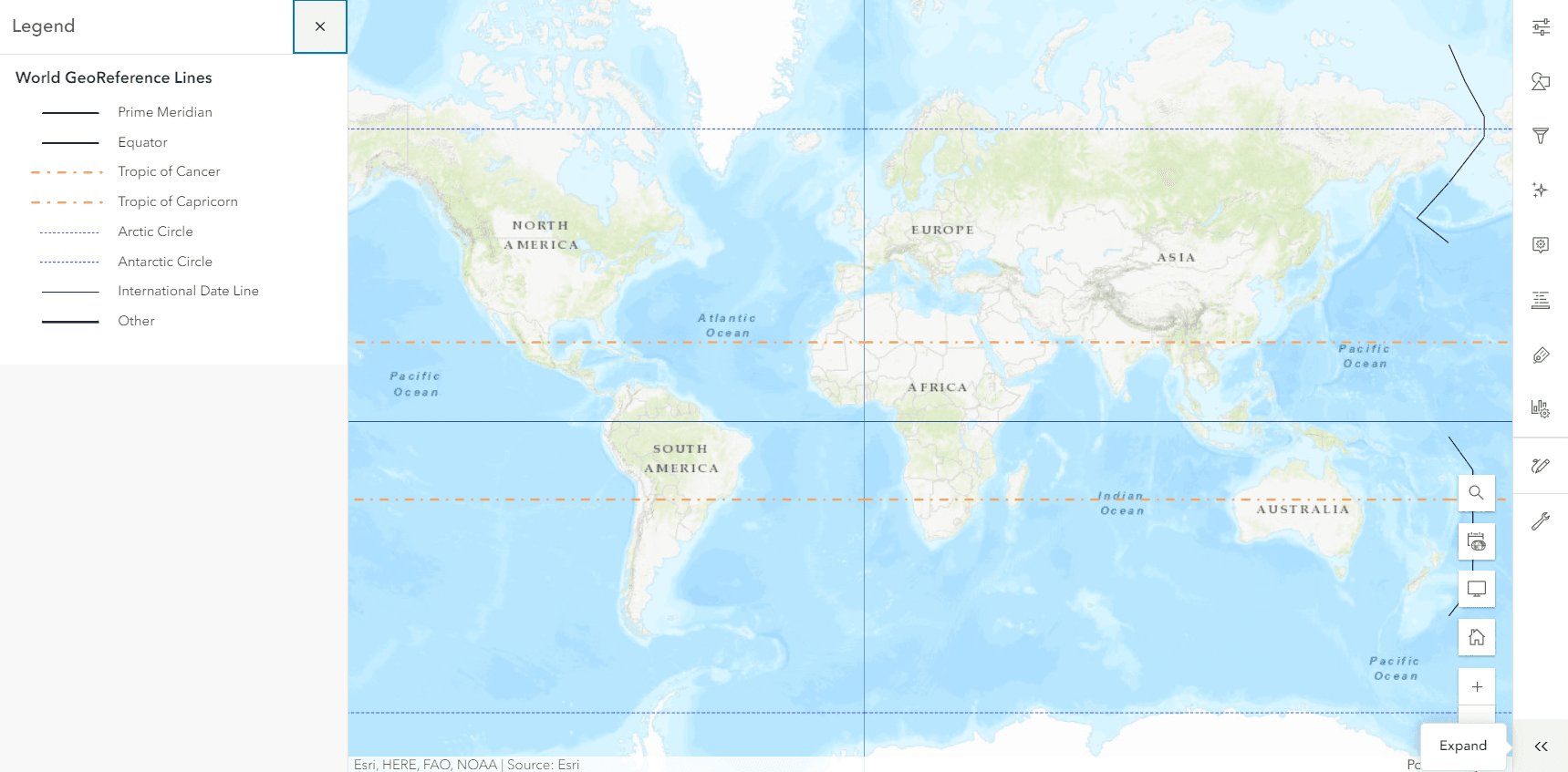
The sketch tool (with the pencil symbol) can be found on the right-hand side.
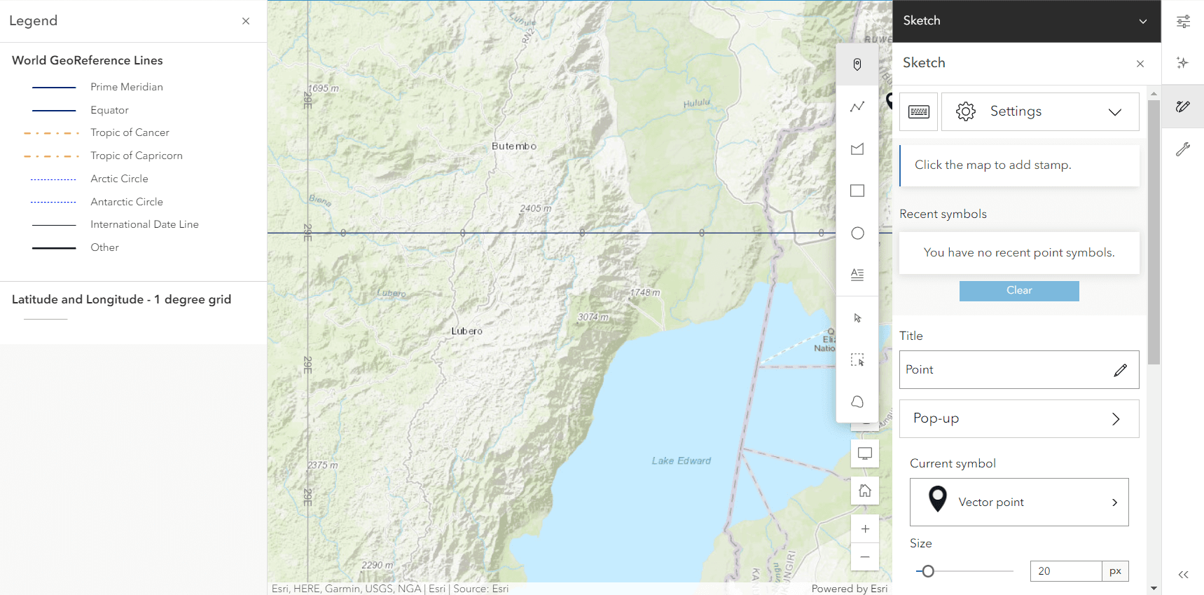
With the distance measurement tool, we can easily determine the distance.
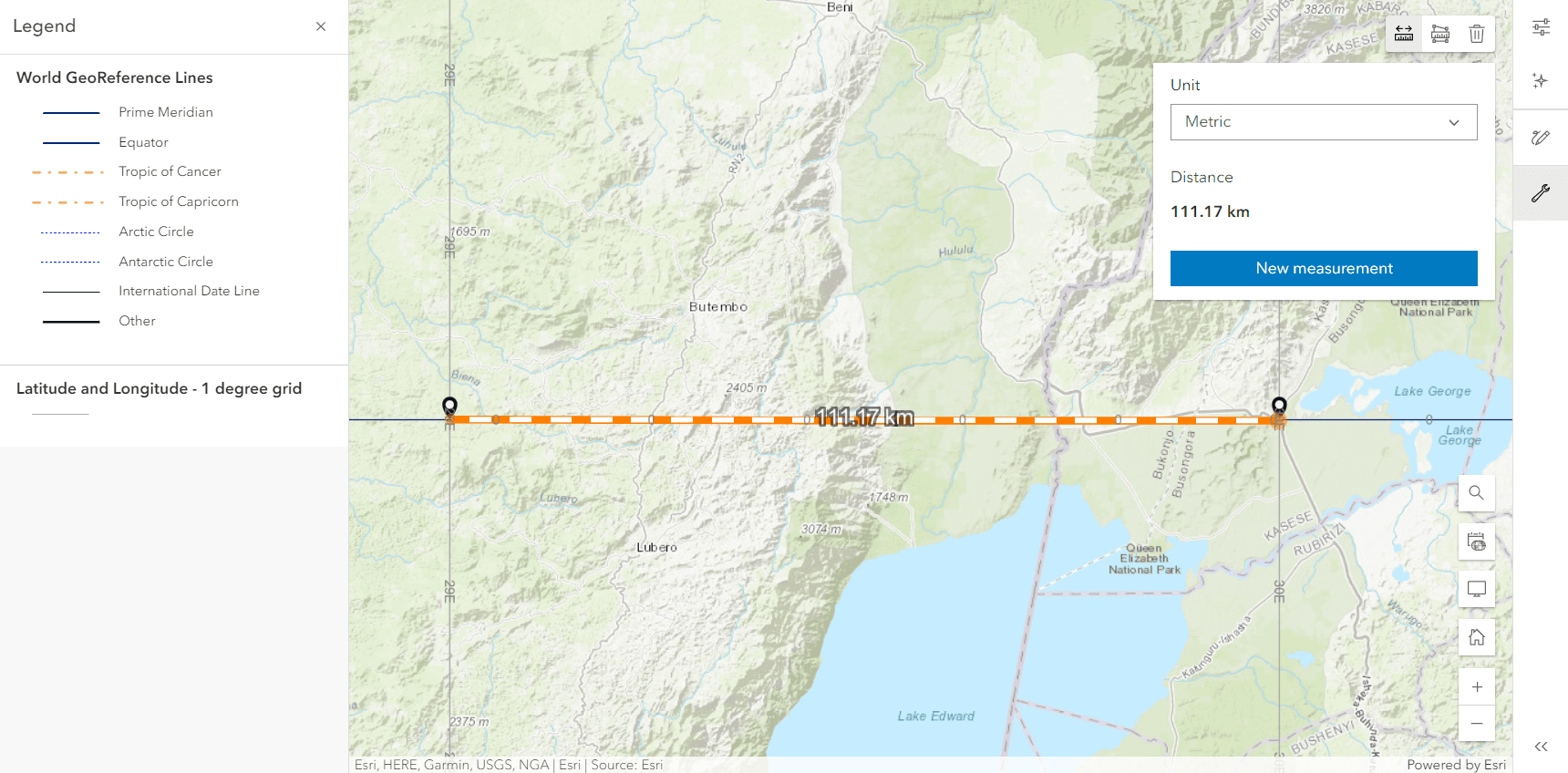
This makes it possible to determine the effect of an additional decimal place for determining the position (for a distance at the equator of longitude).
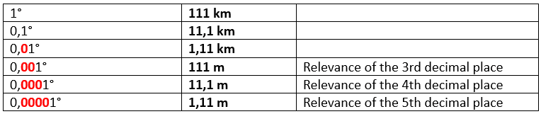
From a certain decimal place, the relevance for the vast majority of applications is negligible.