Spatial data repositories
Introduction
Accessing reliable spatial data repositories is essential for educators and students working with Geographic Information Systems (GIS). In this lesson, we will explore a variety of online resources where you can find free and high-quality geospatial datasets for different educational and research purposes.
By the end of this lesson, you will be able to:
✅ Identify trusted sources for downloading spatial data.
✅ Access datasets related to physical geography, cultural information, climate change, biodiversity, and renewable energy.
✅ Understand different data formats such as vector (shapefiles) and raster (satellite imagery).
✅ Utilize spatial data repositories to enhance your GIS projects and classroom activities.
Let’s dive into the world of open geospatial data!
Within the next sections we will explore and discover how to find the right datasets for your needs. Before that, let’s mention a few theoritical aspects.
The architecture, implementation, and use of spatial data infrastructures (SDIs) is a core component of geospatial technologies and GIScience such as geoinformatics, geodesy, or geomatics. The students should learn about the distributed nature of SDIs and their purpose to ensure the availability and usability of geographic information for different sectors and topics, such as supporting environmental policies, quantifying sustainable development goals, secure civil protection, or promoting efficient science and evidence-based learning.
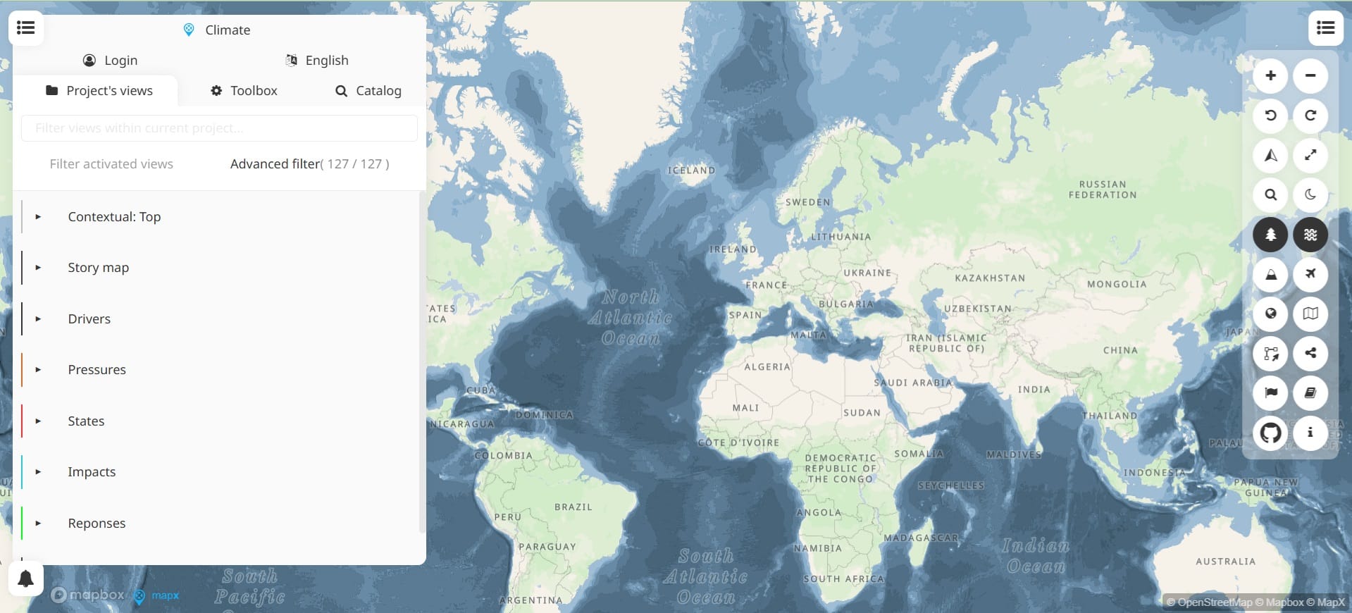
A Spatial Data Repository (SDI) stores and provides access to spatial data and overall, it is a system that stores, manages, and provides access to spatial data. These services most of the time include a GIS website outlining services and links to spatial data resources in the collection. In the previous lesson you saw some of those repositories like the EMODnet portal (link), the Copernicus Browser (link) and the New European Wind Atlas (link) among others. However, not all spatial data repositories provide a GIS interface for interactive mapping. Some platforms function solely as data archives, allowing users to search for, download, and use datasets in GIS applications like QGIS. These repositories provide access to valuable geospatial information but require users to manually process and visualize the data in their preferred GIS software.
In this lesson, we will explore a variety of both GIS-based and non-GIS-based spatial data repositories, helping you identify the best sources for different types of geospatial data. Most importantly, when searching for spatial data in different repositories, it is essential to understand the spatial data structures introduced in the first sub-module (‘Introduction to GIS and Earth Sciences’). The datasets we are looking for belong to one of two primary spatial data formats including:
-
Vector Data: Used to represent discrete features such as boundaries, roads, rivers, and land use areas. The most common vector formats include:
- Shapefiles (.shp) – Widely used in GIS applications for storing geometric features and attributes.
- GeoJSON (.geojson) – A lightweight, web-friendly format often used for sharing spatial data online.
-
Raster Data: Used to represent continuous data, such as elevation, land cover, and satellite imagery. The most common raster format is:
-
GeoTIFF (.tiff) – A georeferenced raster format that allows for precise spatial analysis.
-
As we navigate different Spatial Data Repositories, we will focus on identifying and selecting datasets in these formats, ensuring compatibility with GIS applications like QGIS. Understanding these formats will help you choose the right data for your classroom projects and analyses.
Let’s explore the interface and functionalities of some repositories!
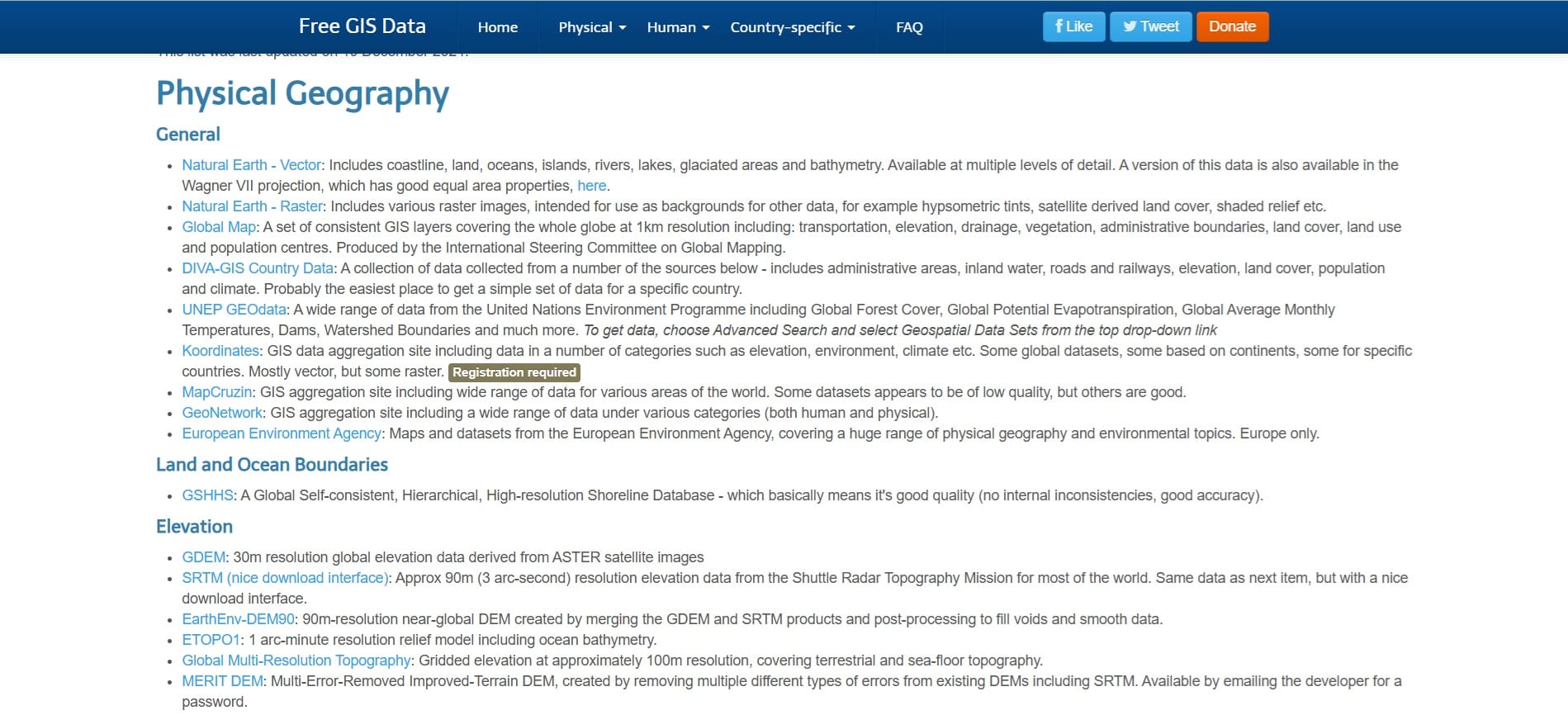
Free GIS Datasets – Categorised List (link)
The Free GIS Data website by Richard Wilson is a valuable online repository that provides links from 500 sites to a wide range of free spatial datasets from various sources already for loading into a Geographic Information System (like QGIS Platform). The page is well-organized, offering categorized access to geospatial data across multiple themes, including:
- Administrative & Political Boundaries – National and regional borders, census boundaries, and electoral districts.
- Physical Geography – Elevation, rivers, coastlines, and geological data.
- Climate & Weather – Precipitation, temperature, and historical climate records.
- Biodiversity & Environmental Data – Protected areas, species distribution, and land cover.
- Human & Economic Geography – Population density, infrastructure, and socio-economic indicators.
- Satellite & Remote Sensing Data – Imagery, DEMs, and land surface data from organizations like NASA and USGS.
Each category includes direct links to external sources where users can access and download spatial datasets, often in vector formats (Shapefiles, GeoJSON) or raster formats (GeoTIFFs). The page is particularly useful for educators and GIS practitioners looking for open and reliable geospatial datasets for use in GIS software like QGIS.
Let’s try to download our first data! IMPORTANT: Some of the links provided in Free GIS Data might be inactive however, most of them are working. We will try to show you a few examples of some SDIs with an easy-to-use interface for downloading either your vector or raster data.
Most of the times, when we want to perform an analysis or process our data, we need the area boundaries we are going to work. It might be a state, country or a continent boundaries. If we scroll down to ‘Free GIS Data’, we will find the ‘Administrative Boundaries’ category with a list of different options for downloading boundaries data. Let’s try the ‘geoBoundaries’ option.
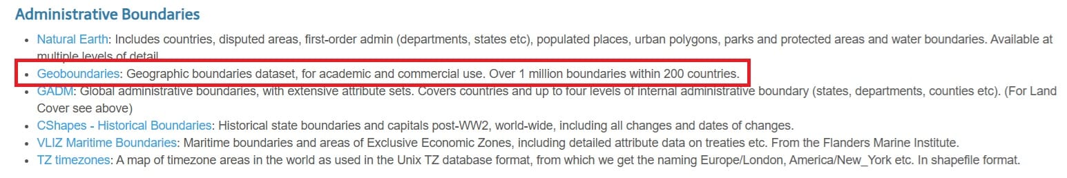
Here is the ladning page of ‘geoBoundaries’ and if we scroll a little bit down, we see the following options:
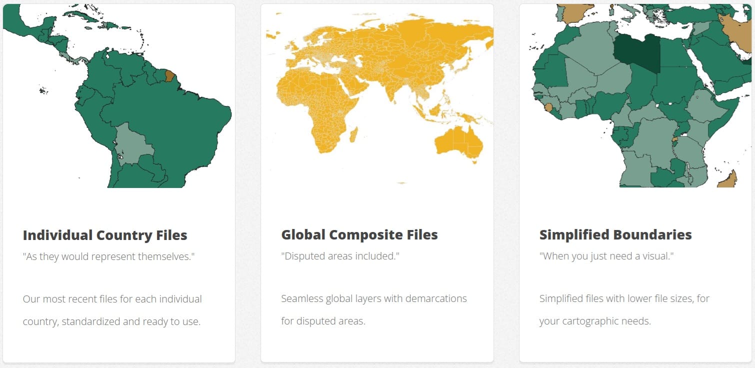
We select the ‘Individual Country Files’ since for our first exercise we will work both at a country and a province level. Let’s then download the administrative units for Cyprus!
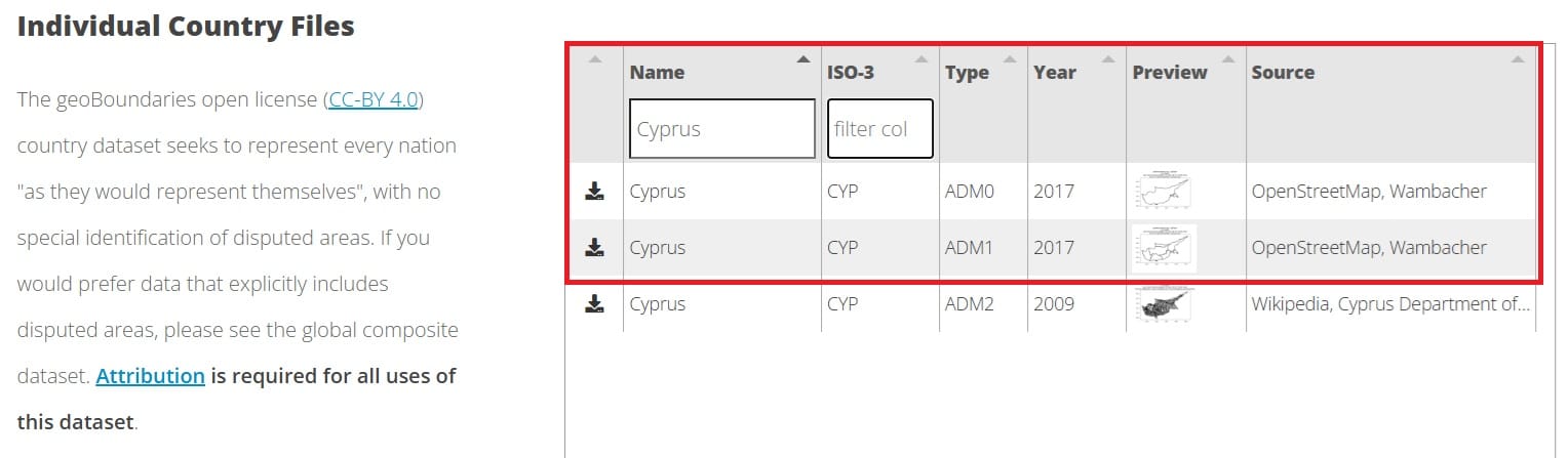
We will try to download the most recent spatial data (2017) and we will press the ‘Arrow’ button on the left side to download both ‘ADM0’ and ‘ADM1’. Administrative Units Level 0 (ADM0) is actually just the coastline of Cyprus and Administrative Units Level 1 (ADM1) is the coastline including the administrative districts. In other countries, you may find Administrative Units Level 2 (ADM2) for different directorates/provinces/municipalities etc.
That was it! Our shapefile data (vector data – polygons) have been downloaded. The only thing we have to do is to navigate to our ‘Downloads’ folder and unzip the compressed file and then transfer (cut – paste) the folder to out working directory (C:/) we described in the previous lesson!
Now, let’s try to download a raster file (.tiff format or geotiif)! Since we downloaded the Administrative Units of Cyprus, we can search on the country-specific repositories of Free GIS Data!
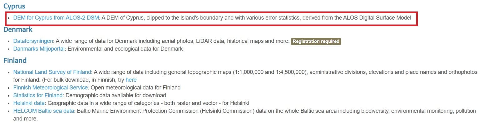
In the country-specific datasets, we see the ‘DEM Cyprus from ALOS-2-DSM’ which is actually the Digital Elevation Model (DEM) of Cyprus, as extracted from Advanced Land Observing Satellite-2 (ALOS-2) mission. In order to download the data, we click on the ‘DEM for Cyprus’ link (see the red box above) and then we download the zip file (see the image below).
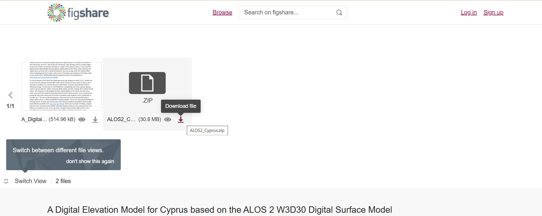
That’s it! We have now downloaded our first spatial data just from one online repository! Let’s explore other SDIs for downloading spatial data!
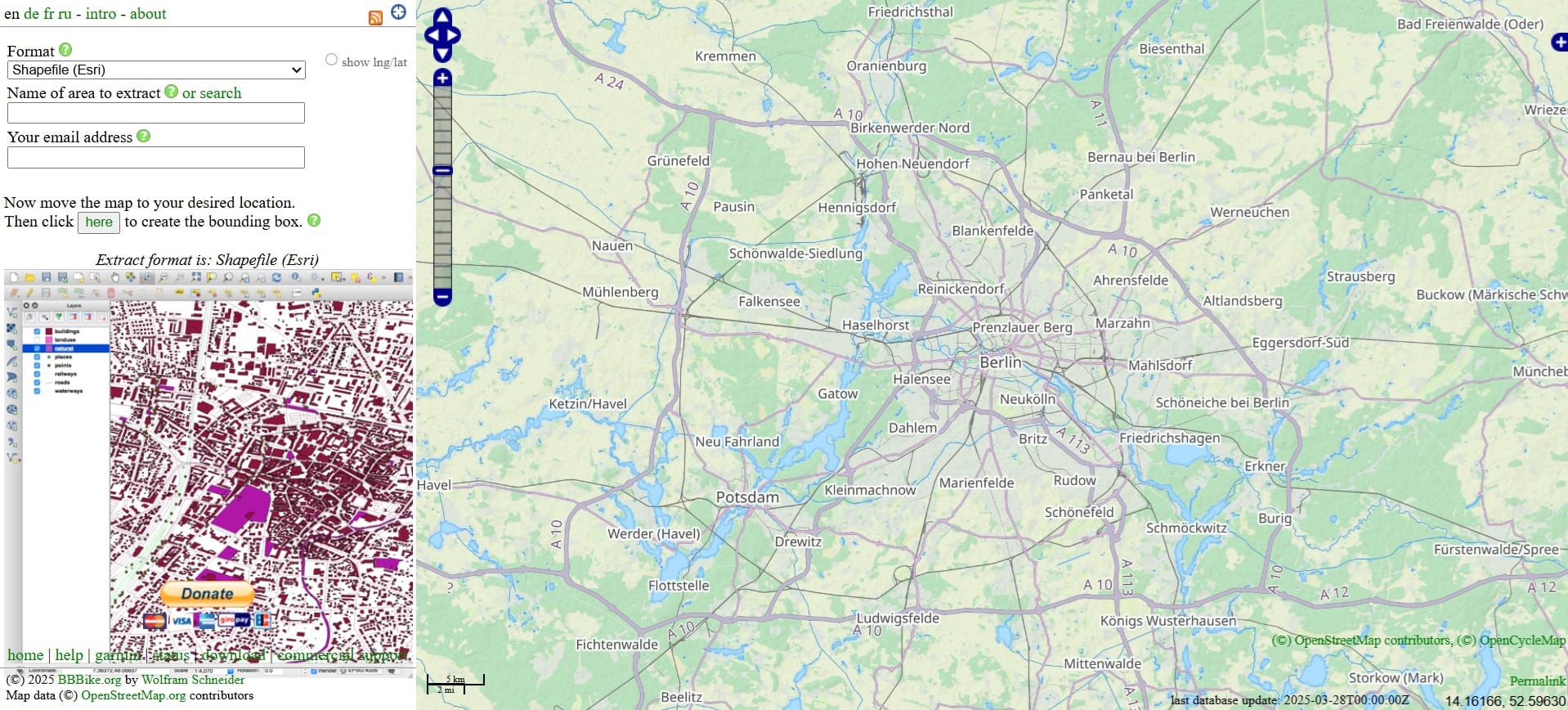
BBike for Open Street Map Data in vestorized form (shapefiles, link)
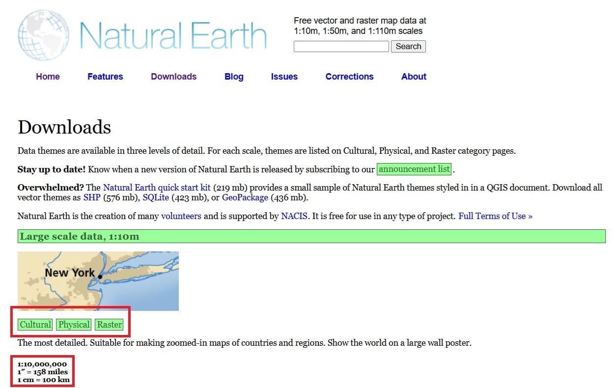
Natural Earth Data (link)
- Physical Data (Coastline, Land, Reefs, Rivers, Bathymetry – link)
- Cultural Data (Populated areas, cultural sites, administrative data – link)
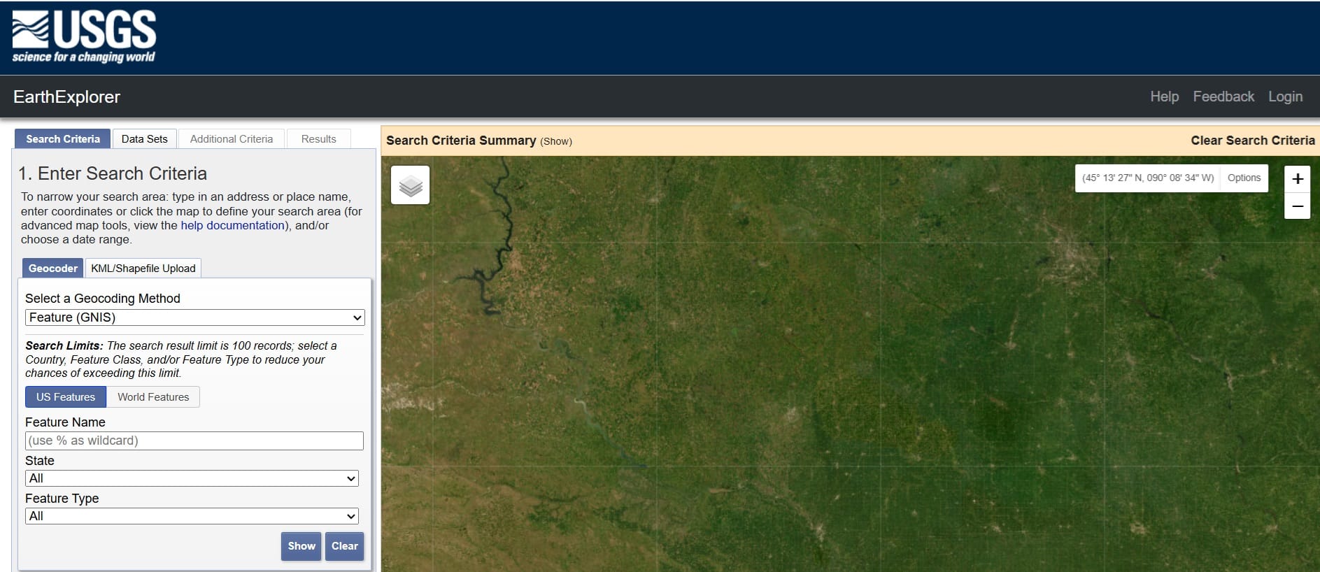
USGS Earth Explorer (For satellite and aerial imagery, link)
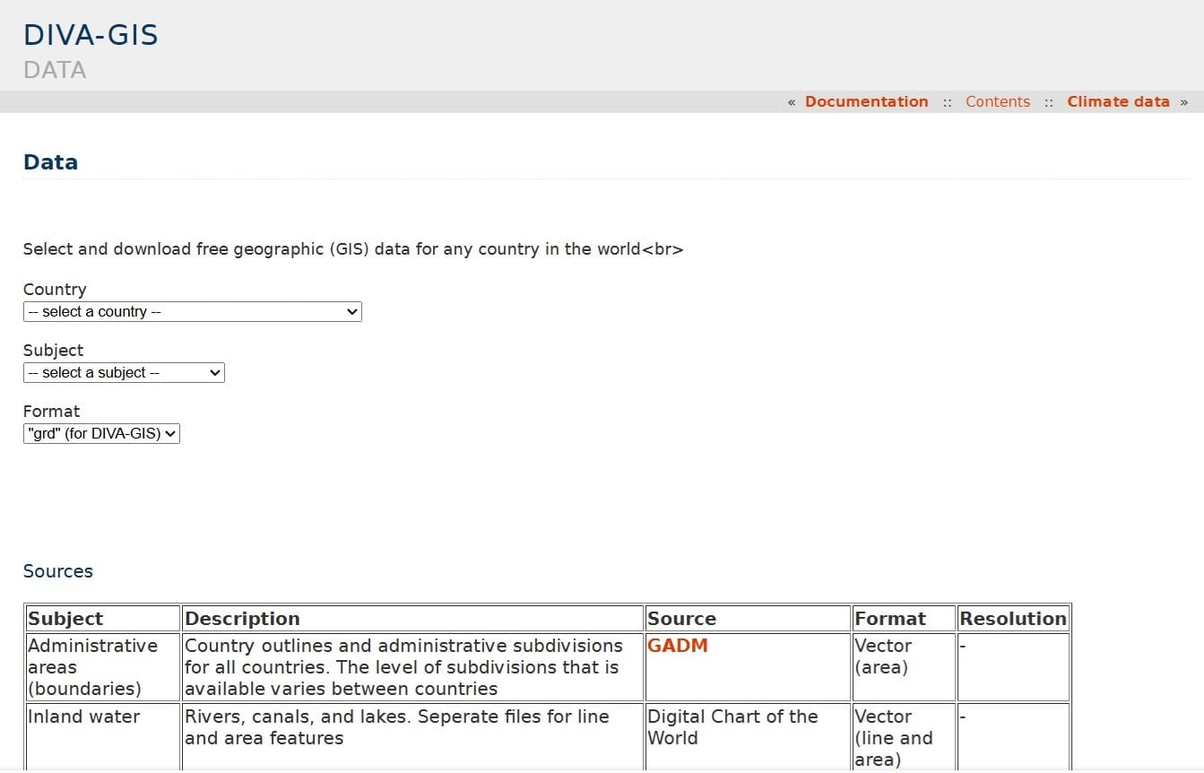
Diva GIS – Vector and raster data format, boundaries, roads, rivers (link)
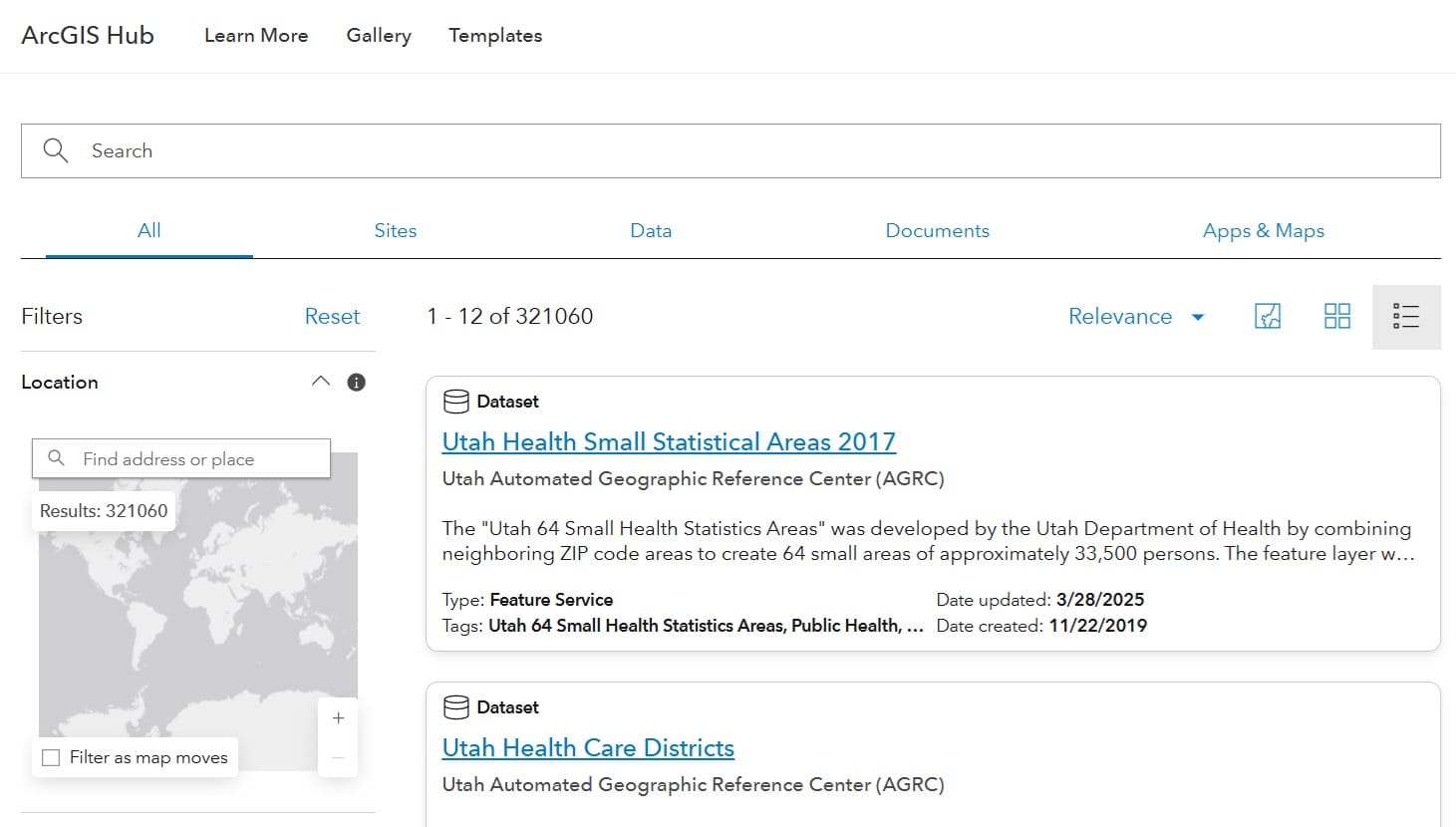
ArcGIS Hub (250,000+ open data sets from 5,000+ organizations worldwide, link)
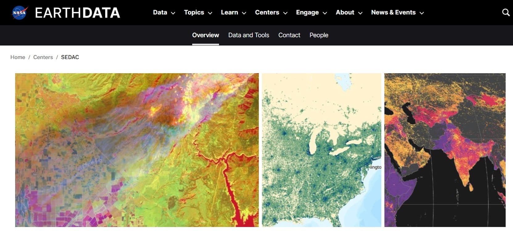
NASA’s Socioeconomic Data and Applications Center (SEDAC) (link)
UNEP Environmental Data Explorer (link)
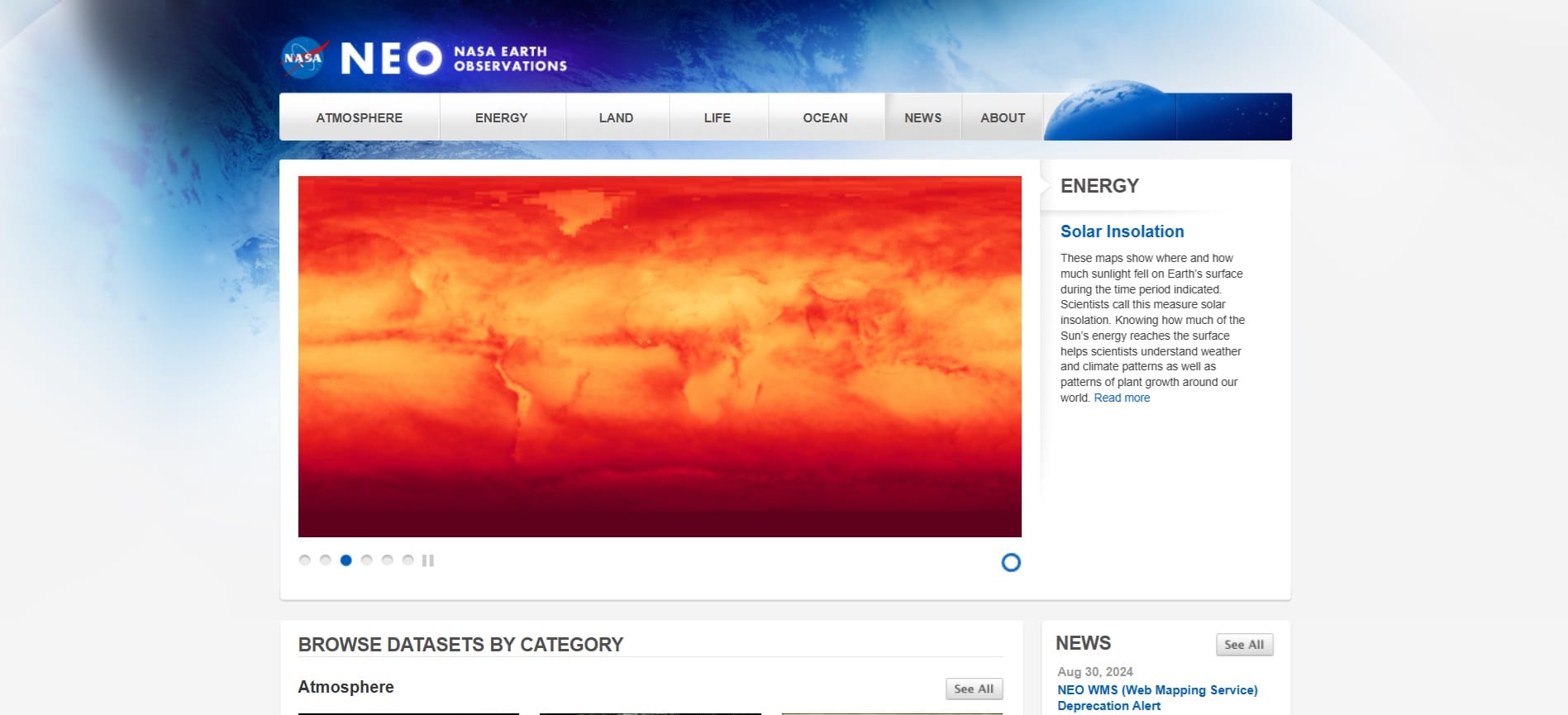
NASA’s Earth Observations (NEO) – Atmosphere, land, ocean, life, energy (registration is needed, link)
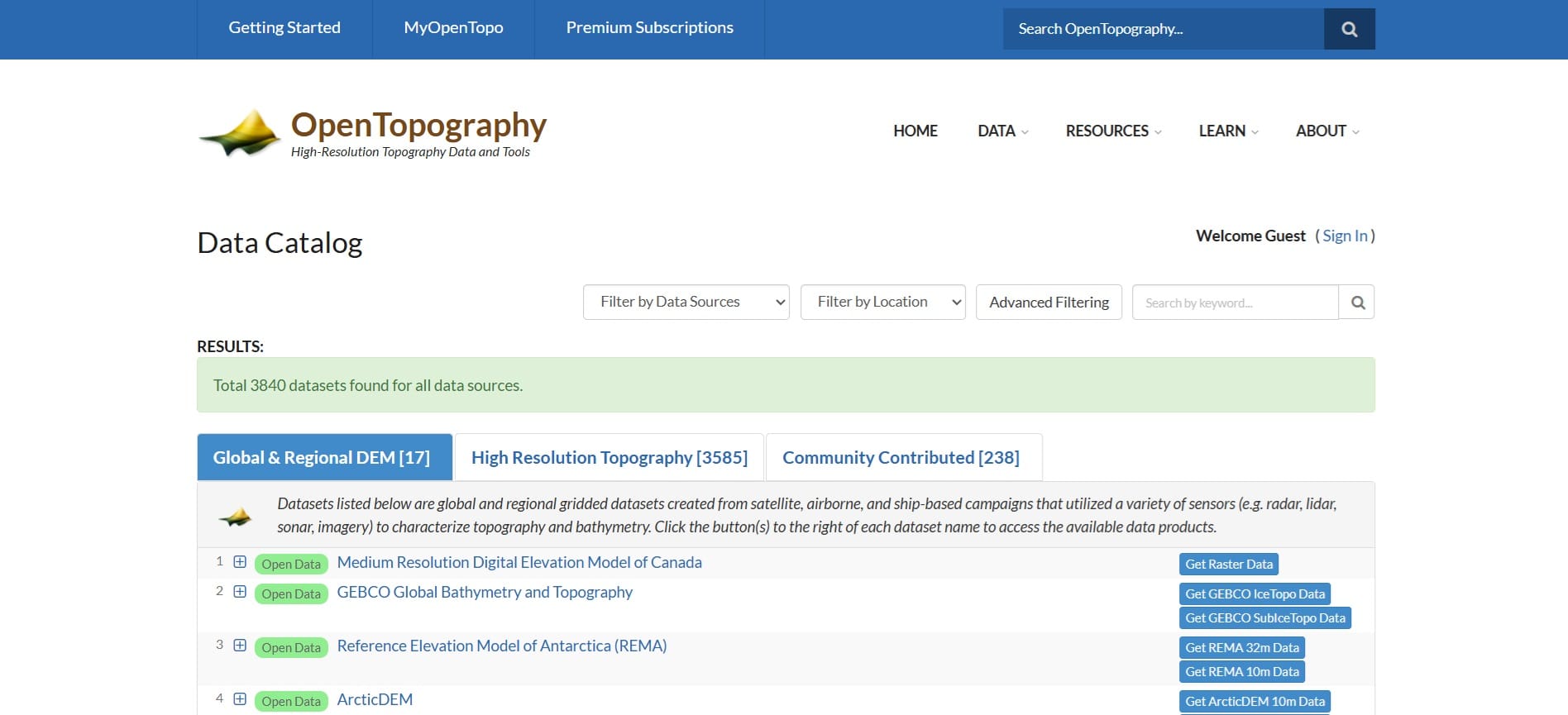
Open Topography Data – Worldwide coverage (link)
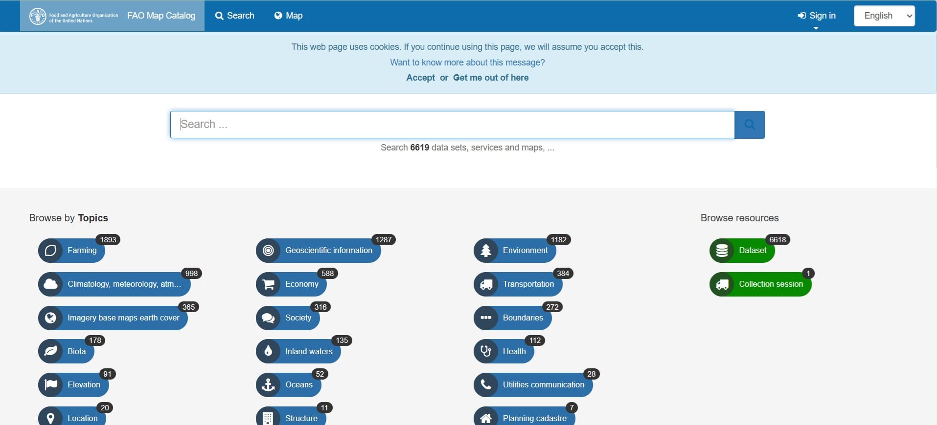
FAO GEONetwork – Farming, fisheries, environment, climate (link)
Renewable energy-related data:
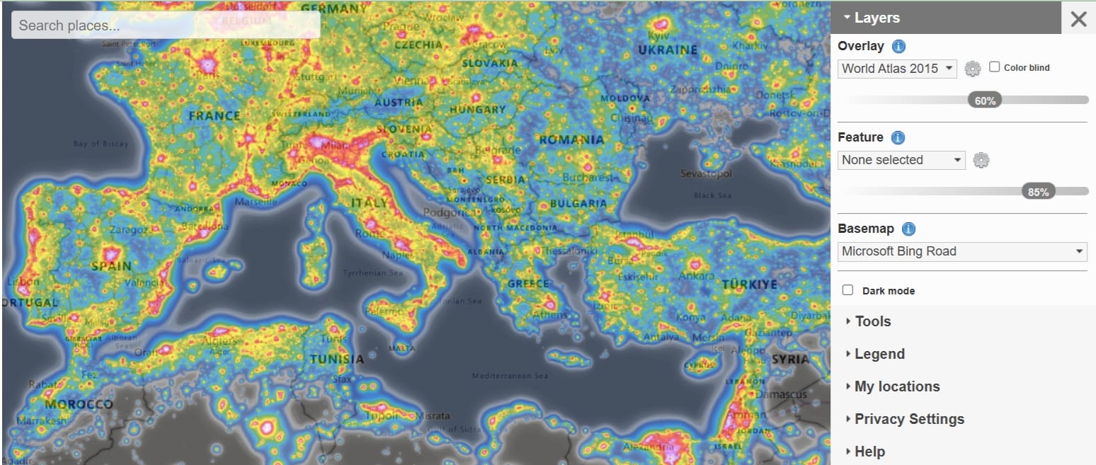
Light Pollution Map & Data (link)
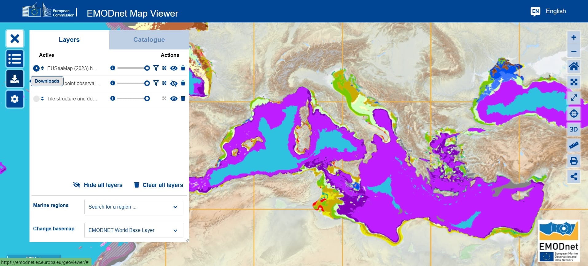
EMODNet Map Viewer – Marine habitats, seabed, bathymetry and environmental data (link)
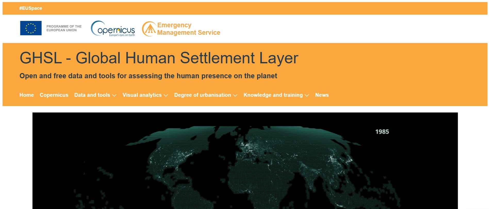
Global Human Settlement data (link)
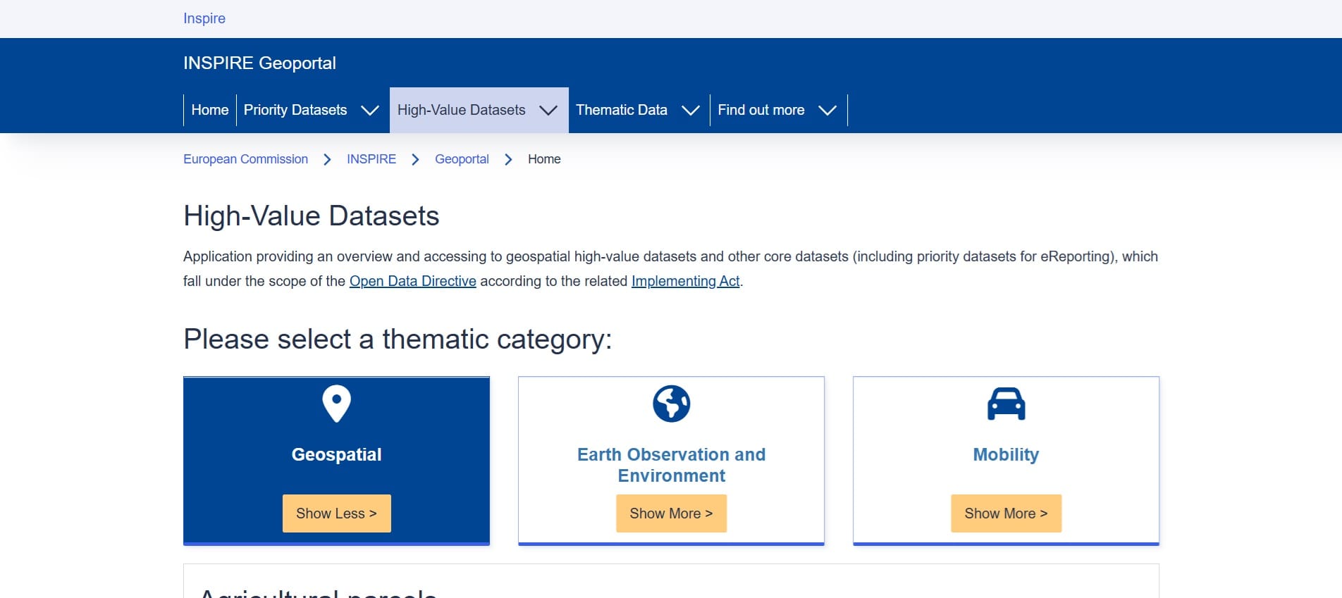
INSPIRE Spatial Datasets – Country level (link)
Useful links – List of Spatial Data Repositories
Global Spatial Data Repositories
- Free GIS Datasets – Categorised List (link)
- Natural Earth Data (link)
- USGS Earth Explorer (For satellite and aerial imagery, link)
- NASA’s Socioeconomic Data and Applications Center (SEDAC) (link)
- UNEP Environmental Data Explorer (link)
- NASA’s Earth Observations (NEO) – Atmosphere, land, ocean, life, energy (registration is needed, link)
- Open Topography Data – Worldwide coverage (link)
- Light Pollution Map & Data (link)
- Global Human Settlement data (link)
Physical Data (Coastline, Land, Reefs, Rivers, Bathymetry – link)
Cultural Data (Populated areas, cultural sites, administrative data – link)
Vectorized data in shapefile format
- BBike for Open Street Map Data in vestorized form (shapefiles, link)
- Diva GIS – Vector data format, boundaries, roads, rivers (link)
Online spatial databases
- ArcGIS Hub (250,000+ open data sets from 5,000+ organizations worldwide, link)
- Biodiversity & Nature Loss (link)
- Climate Change (link)
- Pollution and Waste (link)
Data related to marine life:
- EMODNet Map Viewer – Marine habitats, seabed, bathymetry and environmental data (link)
- Copernicus Marine Services – Ocean & Climate change data (link)
- FAO GEONetwork – Farming, fisheries, environment, climate (link)
Renewable energy-related data:
Country-specific spatial data
- INSPIRE Spatial Datasets – Country level (link)
Austria
Portugal
Bulgaria
Sweden
- Environmental Data Portal (link)
- Web-GIS (link)
- Transportation Web-GIS (link)
- Regional and National Data (link)
- Swedish National Data Service (link)
- Swedish Geotechnical Institute (link)
Cyprus
- Shoreline Cyprus (link)
- Cyprus Cadastre (link)
- Landcover Cyprus (link)
- Air quality (link)
- Spatial Data Portal (link)
- Layers (HIPODAMUS, link)
- Watershed (link)
- Urban development areas (link)
- Topography (Digital Elevation Model) (link)
Greece