FIRMS
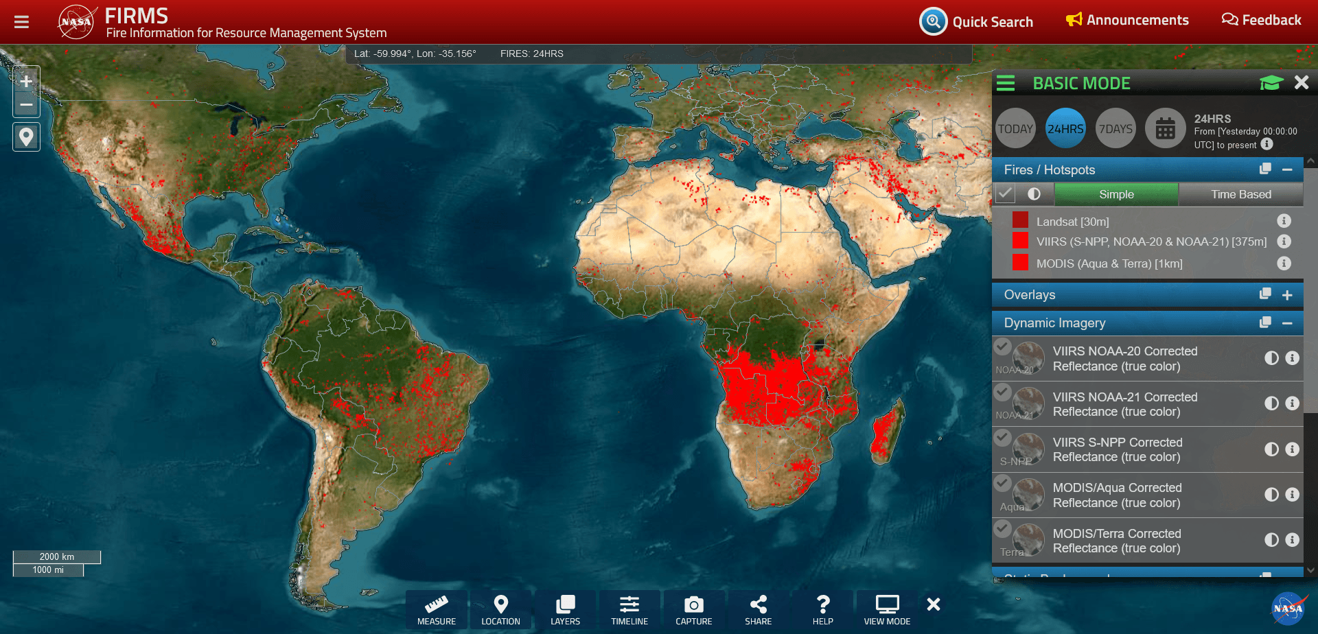
Now we are looking at the global map on Fire Information for Resource Management System web portal.
https://firms.modaps.eosdis.nasa.gov/map/
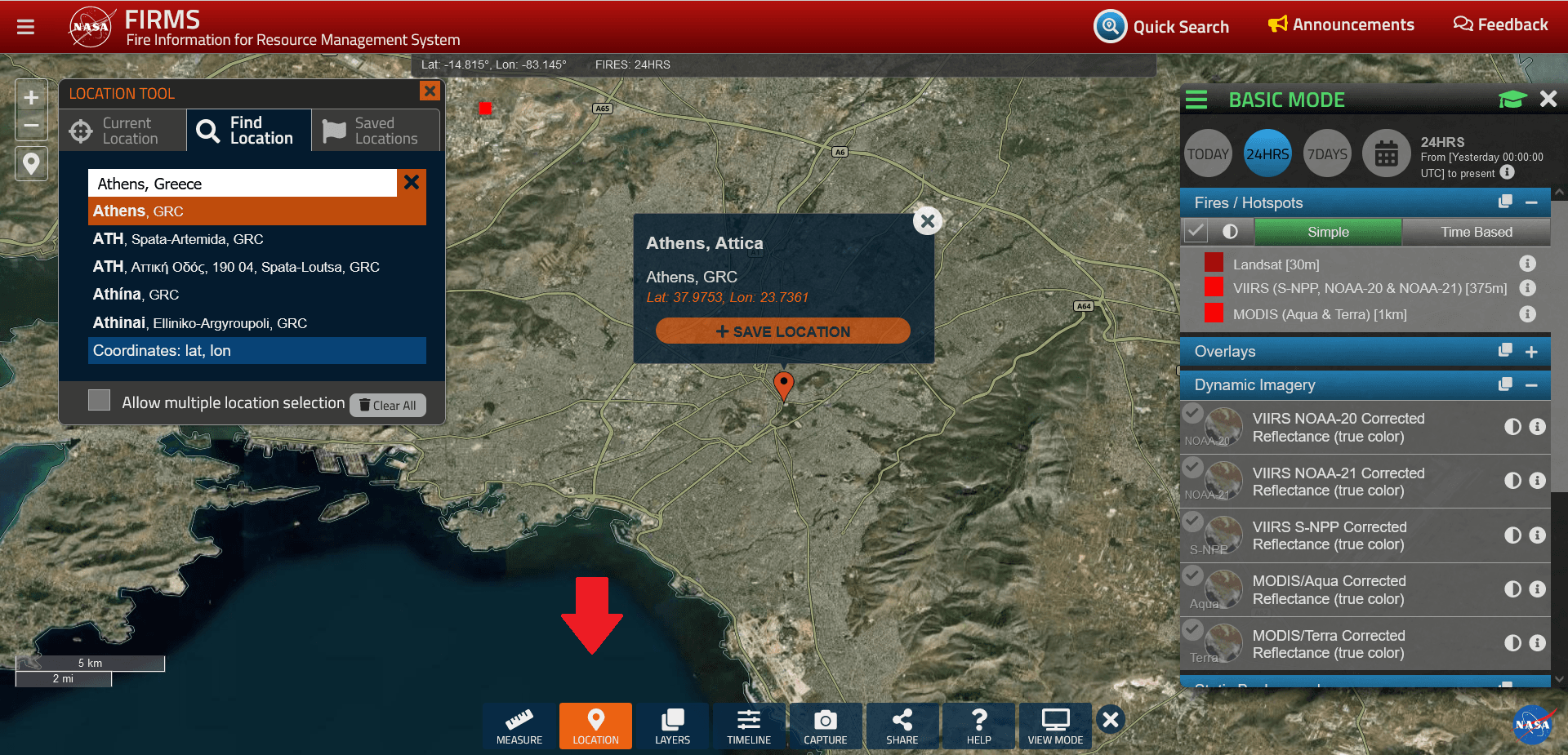
You can use “Location” option to find out if there were any fires detected at a particular location.
At the top right of the website we have the option of specifying the desired time period and displaying, for example, those fires in the region that have been detected by satellites in the last 24 hours. The images are created with the help of several satellites.
We can select a different date by clicking on the timeline.
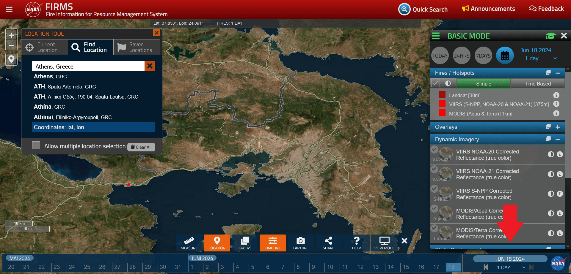
For our training purposes, we will choose the date around July 2021 – the year of the great fires near Athens, Greece.
The following video shows the extent of the threat posed by the fire.
Using the forward and backward buttons on the timeline, we can visualise the development of the fires over time.

In this way, we can track the critical period from 1 to 6 July 2021 and from 16 to 22 August 2021.