Courses
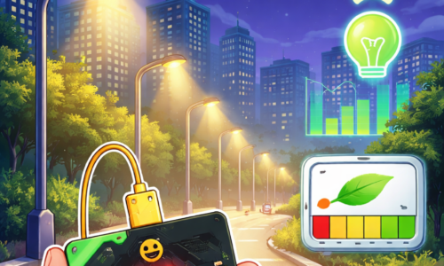
Smart Lighting and Energy Efficiency
Public lighting plays a crucial role in urban life. Streetlights contribute to road safety, pedestrian security and social inclusion, but […]
Free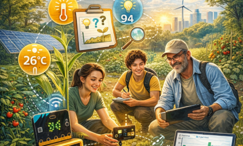
Agro-Climatic Monitoring with micro:bit
Understanding how temperature, light and local environmental conditions influence plant growth is essential for sustainable agriculture and climate resilience. Microclimates […]
Free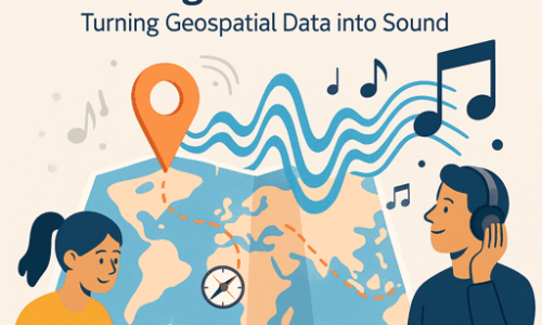
Map Storytelling Through Sonification: Turning Geospatial Data into Sound
Have you ever looked at a map and wondered what it would sound like if its data could play a […]
Free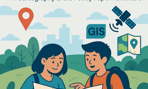
Exploring Spatial Skills and Map Literacy: A Cartography & GIS Peddy Paper Adventure
Have you ever looked at a map and wondered how it can tell stories about the world around you? Maps […]
Free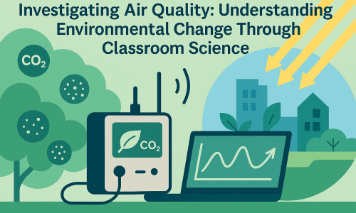
Investigating Air Quality: Understanding Environmental Change Through Classroom Science
Have you ever noticed you can choose what to eat, drink and touch, but not what you breathe? Breathing is […]
Free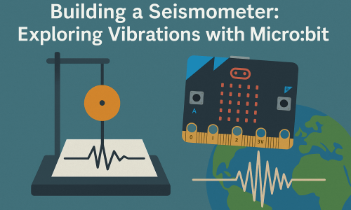
Building a Seismometer: Exploring Vibrations with Micro:bit
Have you ever felt the ground move beneath your feet, without knowing exactly what caused it? That brief moment of […]
Free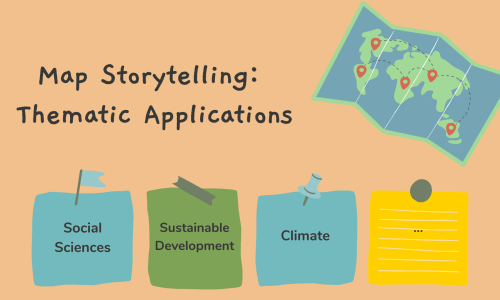
4. Map Storytelling: Examples and thematic applications for the classroom
Did you know that more than 80% of the information around us happens somewhere and answers the question “where”? That […]
Free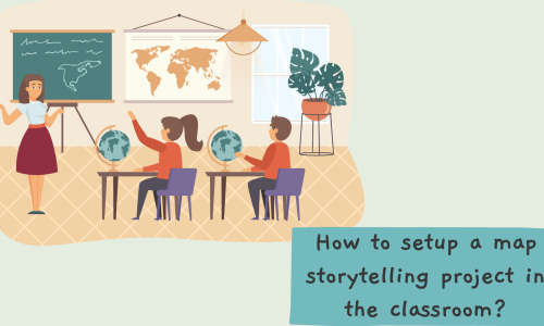
3. How to setup a Map Storytelling project in the classroom
Maps have always been more than navigation tools — they are windows into the world, carrying stories about people, places, […]
Free
2. Map Storytelling in the classroom: Hands-on training
It is understood that Storytelling is embedded in our everyday lives. Via narration, we are able to communicate with each […]
Free
Assessment – PART 1
Teachers should assess not to grade or rank students, but to support learning, guide growth, and align with meaningful, competency-based […]
Free
Assessment – PART 2
To assess effectively, teachers must recognize and respond to students’ diverse needs, backgrounds, and strengths, shifting from standardized tools to […]
Free
Assessment – PART 3
Effective assessment in student-centered education requires shifting from testing isolated knowledge to evaluating meaningful competences—clearly defining what we assess based […]
Free
Assessment – PART 4
Effective assessment requires balancing formative assessments that guide learning and growth with summative assessments that evaluate final outcomes—while carefully planning […]
Free
Geo-Academy Summer School Journey 2025
The GEO-Academy winter school course is part of the “Innovative digital GEO” project, designed to enhance teachers’ digital, environmental, and […]
Free
Part 5: Cartography for people with visual impairments (VI)
According to the World Health Organization (WHO), at least 2.2 billion people, globally,have some kind of vision impairment (numbers refer […]
Free
Part 4: Development of Spatial Skills through Cartography and Maps
Watch the YouTube video Spatial Ability – Skill and Ability Video by CareerOneStop to get an idea what spatial ability […]
Free
Part 3: Map Literacy
Clarke (2003) defines functional map literacy as the ability to understand and use maps in daily life, for work and […]
Free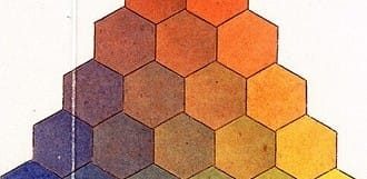
Part 2: Introduction to Thematic Mapping
The course guides you through the notions of thematic mapping and thematic maps, which are core building blocks of geovisualization. […]
Free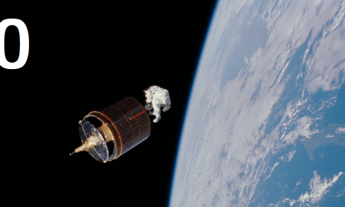
Remote sensing (RS), Earth Observation (EO) and Satellite Applications – PART 0
Remote Sensing (RS) is the science of obtaining information about objects or areas from a distance, typically from aircrafts or […]
Free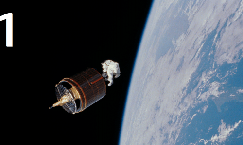
Remote sensing (RS), Earth Observation (EO) and Satellite Applications – PART 1
PART 1: Introduction to visual interpretation Introduction to Earth Observation (EO) and important concepts
Free