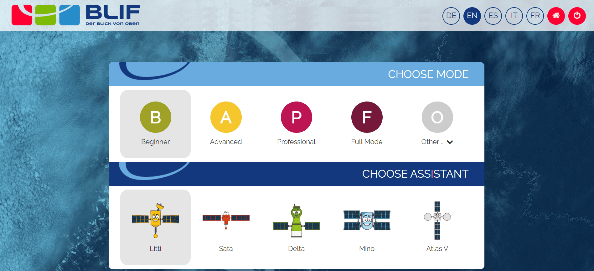
Introduction to the BLIF website
BLIF offers a platform that allows us to analyse satellite images.
You can find their website here: https://server2.blif.de
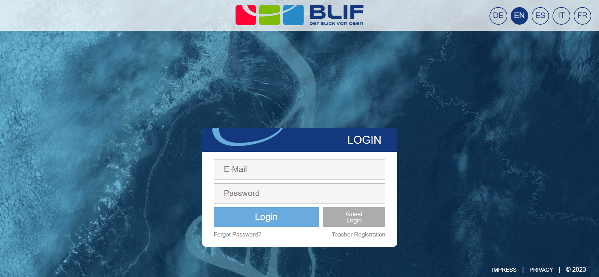
In order to be able to use the scope of this platform, you must first register with the geo:specitv cooperation platform, which we will discuss later.
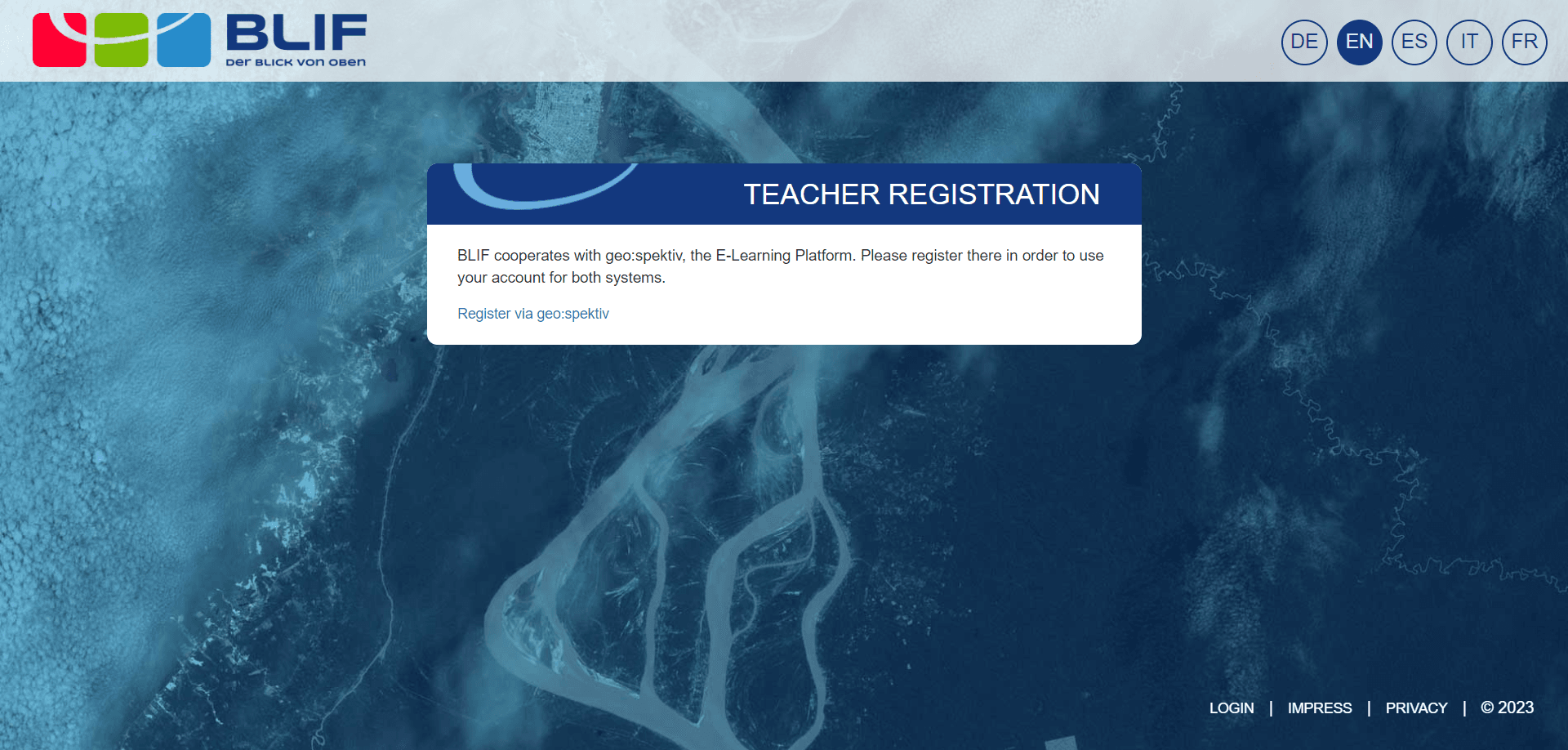
You can find the geo:spektiv website here: www.geospektiv.de
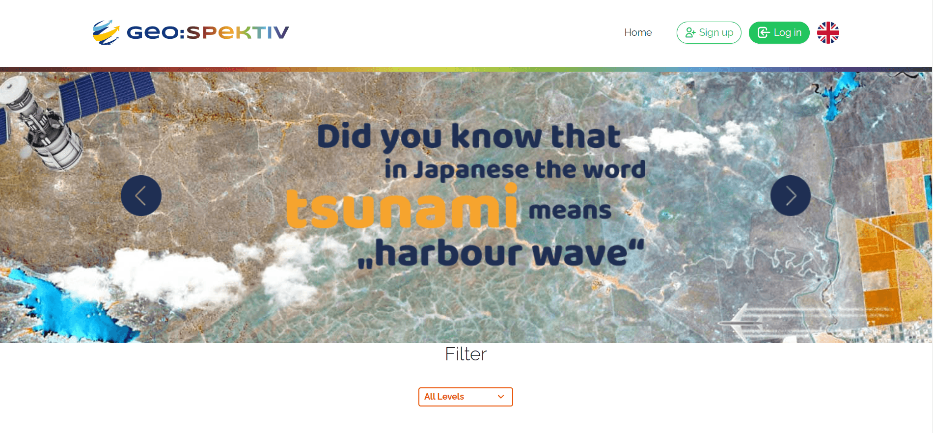
Once you have created an account on geo:spektiv (www.geospektiv.de), we can log in to the BLIF website and have a look around …