Open Spatial Resources & Tools
🌐 Open Spatial Resources & Tools
In this lesson, we dive into the GOSTEAM open spatial resources and tools and powerful platforms that can enrich your classroom and support the transformation of your school into a Living Lab for sustainability and spatial learning.
Whether you’re teaching geography, natural sciences, mathematics, or even languages, these tools offer engaging ways for students to develop spatial thinking, explore real-world data, and connect classroom learning with global challenges and digital literacy.
✅ What You’ll Learn
✅ Discover and categorize a wide range of open-access spatial tools and platforms
✅ Understand how these resources support spatial awareness and place-based learning
✅ Identify tools suitable for different school subjects—from science and geography to literature and communication
✅ Integrate interactive maps, quizzes, satellite imagery, and digital atlases into your lessons
✅ Begin using tools such as Google Earth, OpenStreetMap, QGIS, EO Browser, Geoguessr, and many more
These tools are not only freely available but also designed to promote inquiry, exploration, and collaboration across disciplines. In the table and links that follow, you’ll find a curated list of platforms categorized by their application to support meaningful, engaging, and cross-curricular education.
Let’s explore how you and your students can turn global data into local action using open spatial tools! 🗺️🛰️📚
Categorisation of open spatial resources/tools
A general categorisation was made in the table below with reference to a limited set of overarching areas of applications, particularly useful for the development of spatial thinking skills in secondary school students, including for Sciences (in general), Natural sciences, Astronomy, Chemistry, Earth sciences, Geography, Human Body, Physics, Mathematics, Informatics, and Languages/communication.
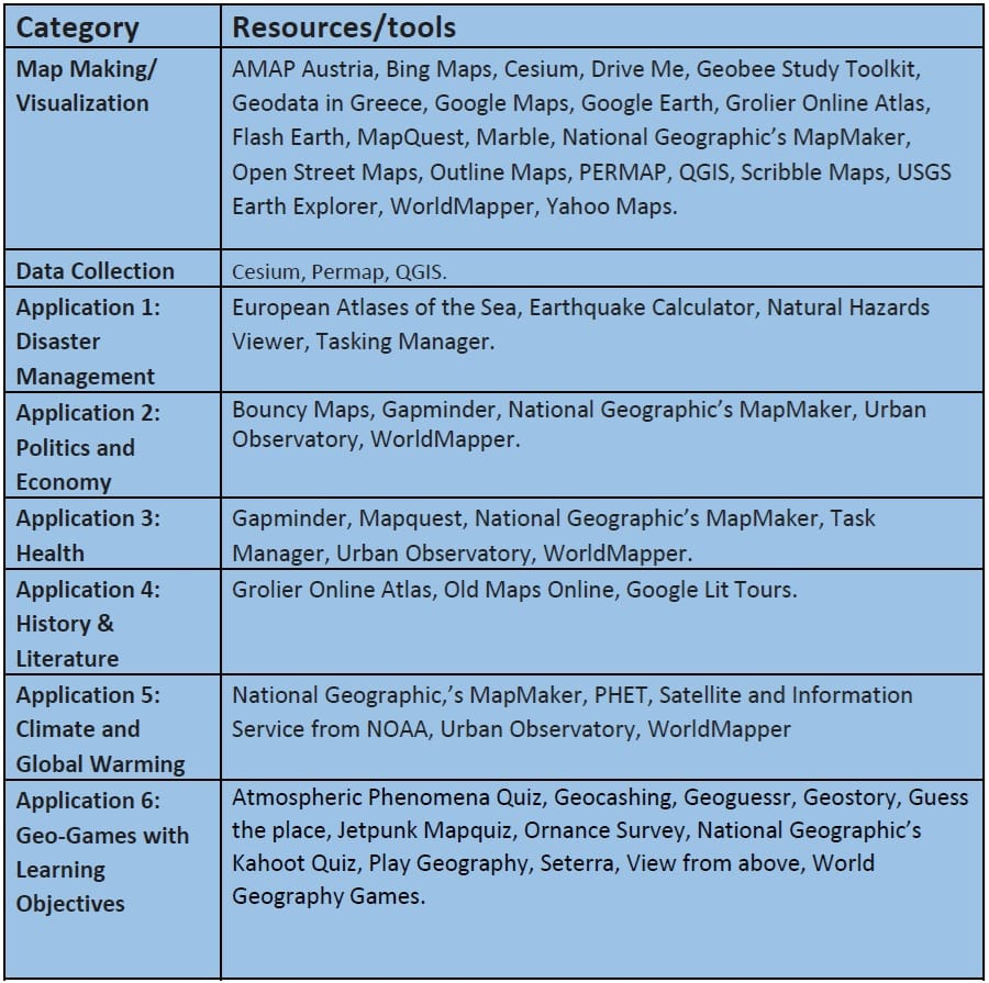
To enhance your understanding of geographic concepts and spatial analysis, explore the following interactive tools and resources. These platforms offer a diverse range of geographic data, visualization techniques, and mapping applications. From satellite imagery (Google Earth, EO Browser) to historical maps (Old Maps Online) and real-time natural hazard tracking (NOAA Natural Hazards Viewer), these tools provide hands-on experiences to analyze and interpret geographic information. You can also test your knowledge with quizzes (Jetpunk Mapquiz, National Geographic’s Kahoot Quiz) or engage in location-based games (GeoGuessr, Play Geography). Whether you’re studying atmospheric phenomena, exploring population trends, or selecting maps for research, these resources will support your learning journey in an engaging and interactive way.
Listing of open spatial resources/tools (Resource & Link)
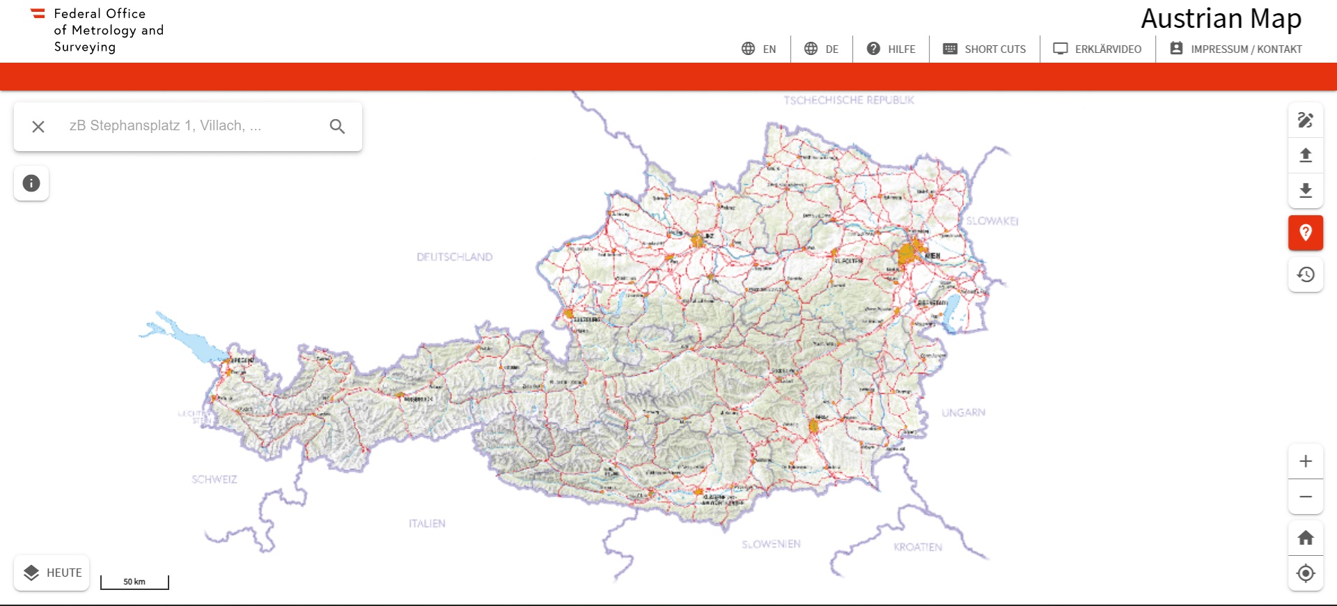
AMAP Austria (link)
The Austrian Map platform (and the AMap mobile) comprises the digital maps of Austria including hill shading, the database of Geographic Names of the Digital Landscape Model and the Digital Terrain Model. This digital BEV product offers a user-friendly user interface with extensive functionality in addition to the high quality of the national Austrian maps.
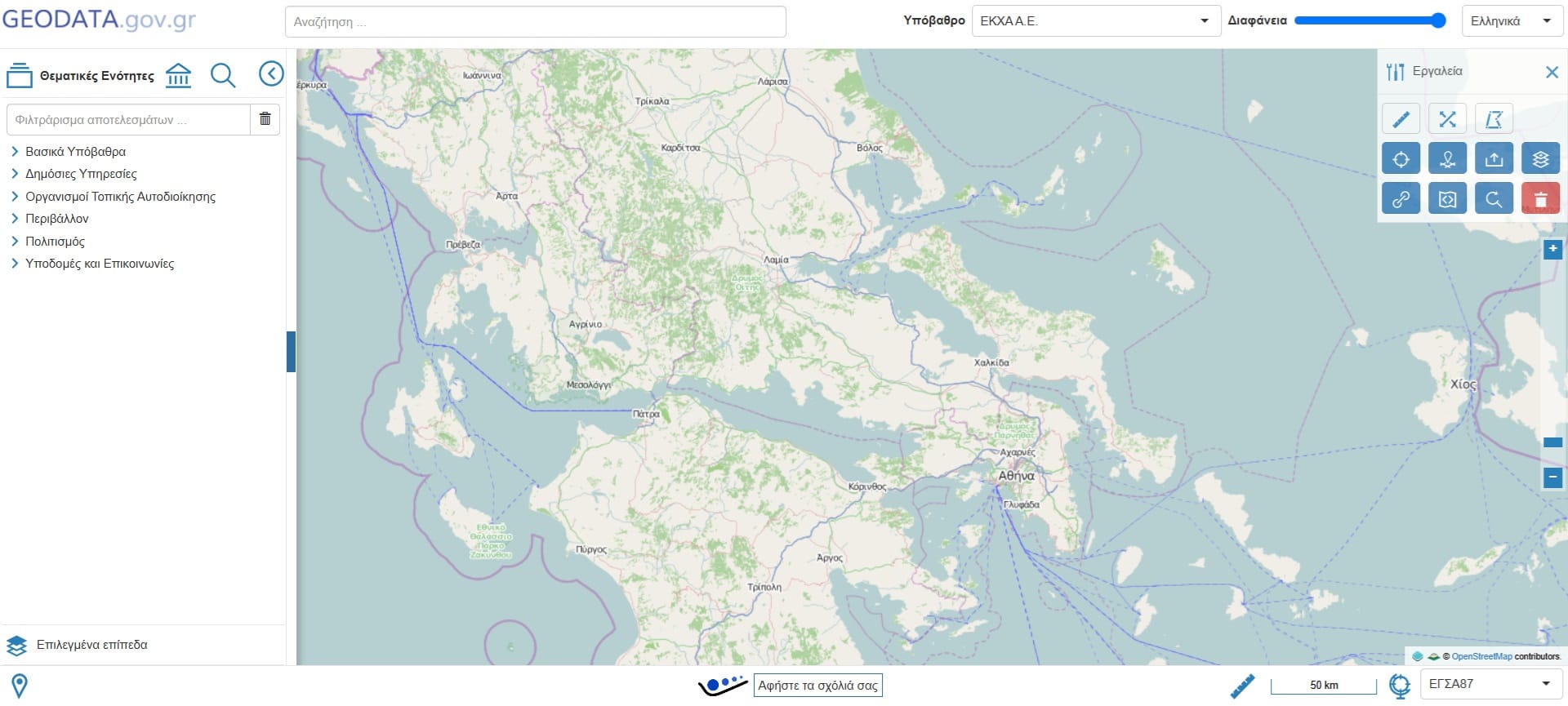
Geodata in Greece (link)
Geoadata.gov.gr is providing open geospatial data and services for Greece, serving as a national open data catalogue, an INSPIRE-conformant Spatial Data Infrastructure, as well as a powerful foundation for enabling value added services from open data. Feel free to publish, discover, reuse, and visualize all published data. Check the available features for publishing geospatial data (vector and raster), OGC web services, INSPIRE services, Data API, and Mapping API.
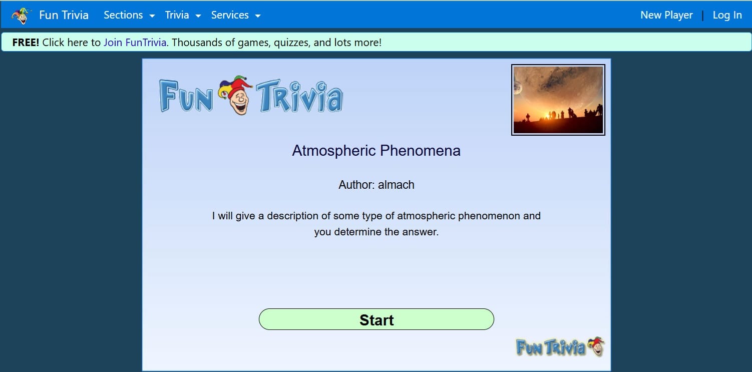
Atmospheric Phenomena Quiz (link) or Gapminder (link)
Gapminder identifies systematic misconceptions about important global trends and proportions and uses reliable data to develop easy to understand teaching materials to rid people of their misconceptions. Also, Atmospheric Phenomena Quiz is a website where you can learn facts about the atmosphere in a free quiz for your students.
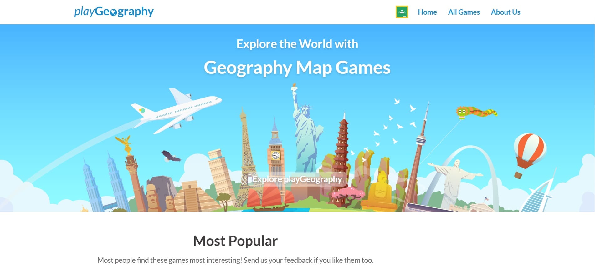
Play Geography (link) or World Geography Games (link)
Brain-engaging geography map games: learn countries of the world, capitals, flags, Europe, continents, oceans, mountains, rivers, islands and much more.
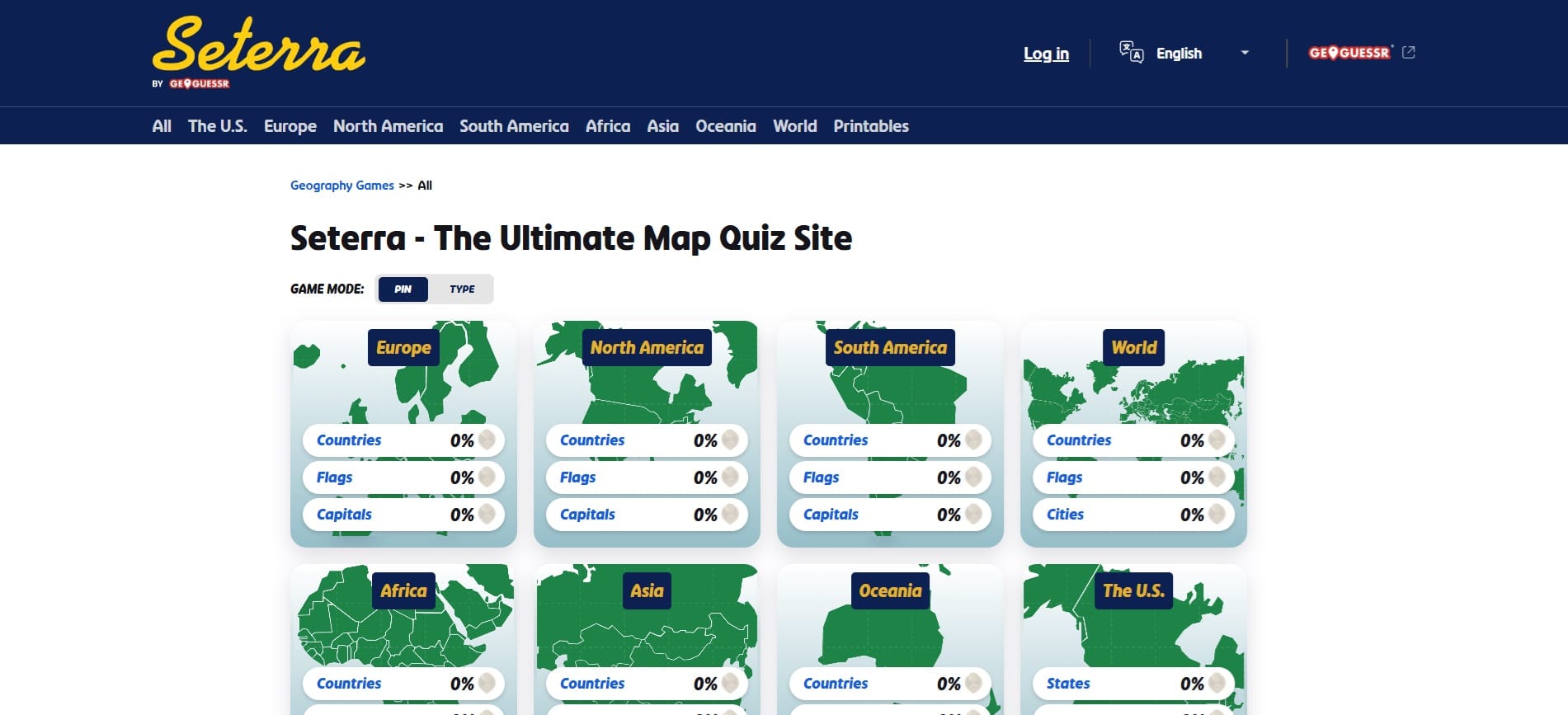
Seterra (link)
Learning geography doesn’t have to be boring. Do it the easy way with Seterra! In no time, you could learn to locate every single country in the world on a map. Seterra includes fun quizzes that help familiarize you with countries, capital cities, flags, rivers, lakes, and notable geological features.
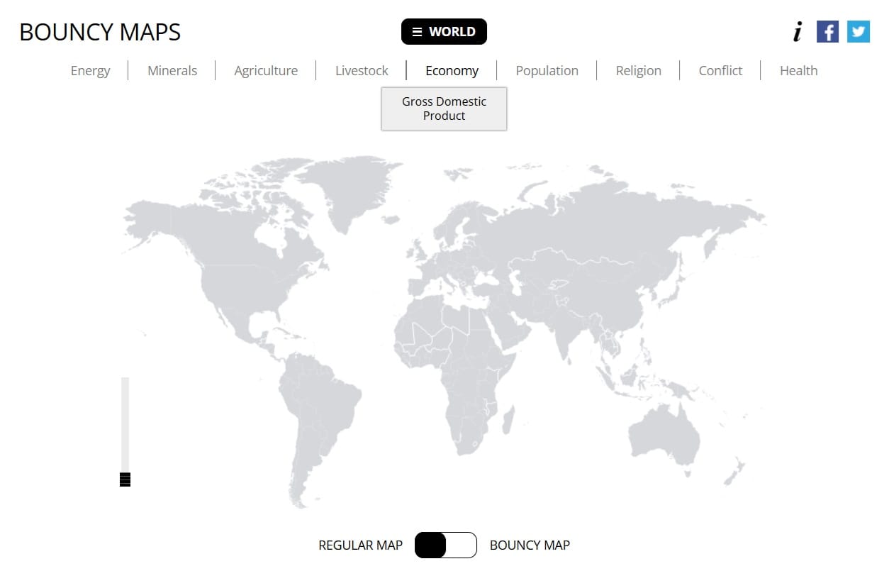
Bouncy Maps (link)
A map shows you how large countries are, in terms of area. Bouncy Maps, via the cartogram feature, transform the map to show how large countries would be if another criterium were the key. Different countries will jump out. Because of their high visual impact, Bouncy Maps are an excellent presentation feature to highlight proportions in a fun way. But, what a cartogram is? Check this out!
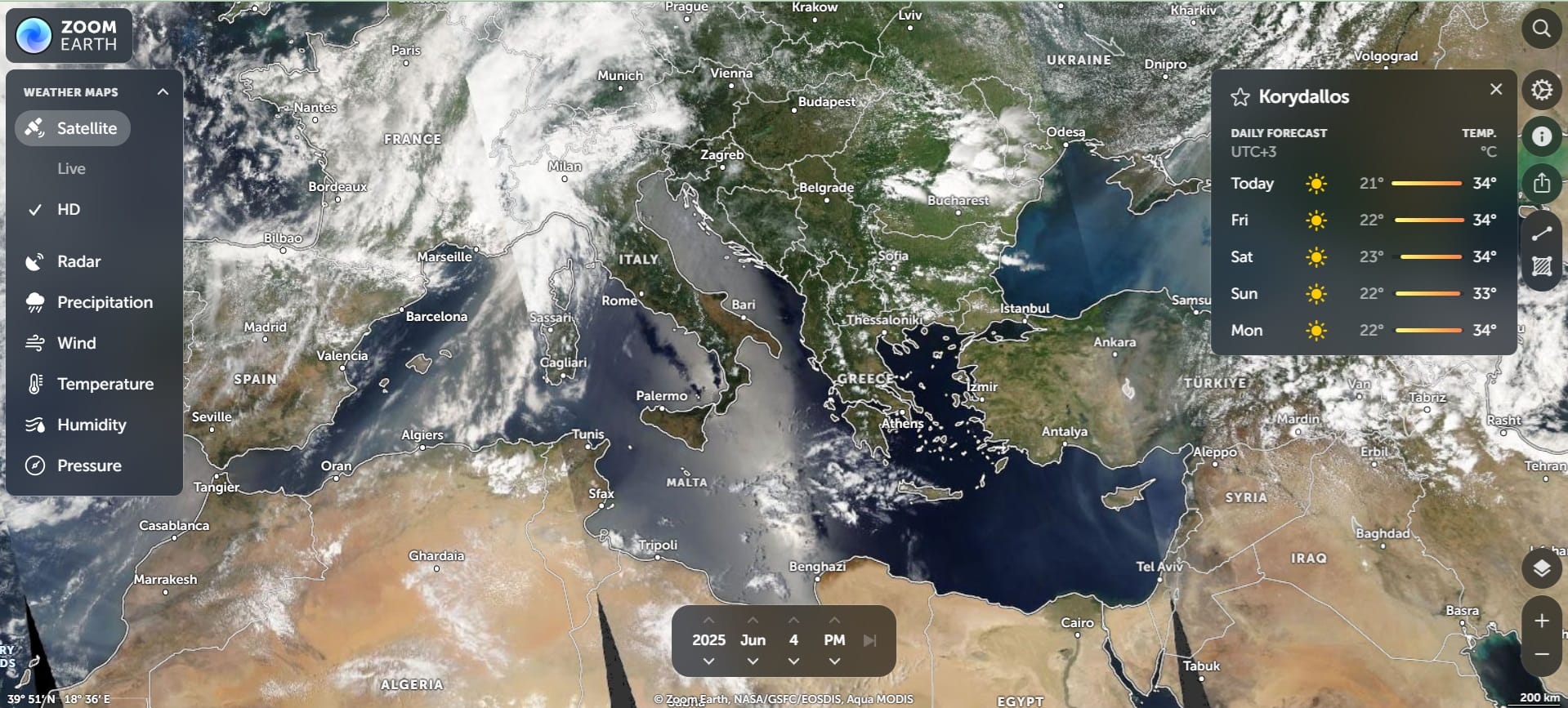
Flash Earth (link)
Interactive world weather map. Track hurricanes, cyclones, storms. View LIVE satellite images, rain radar, forecast maps of wind, temperature for your location. Let your students explore different weather patterns and prepare their own weather reports at city- or country-level!
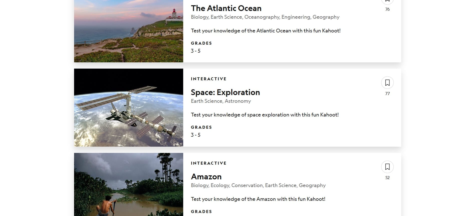
National Geograpic’s Kahoot Quiz (link)
Learning isn’t just about memorization and taking tests. Sometimes it involves play. Yes, learning can be fun, too. That’s where Kahoot! comes in. These online interactive games help learners consolidate their lessons and process what they’ve learned. Explore the Kahoot! collection curated by the National Geographic Resource Library.
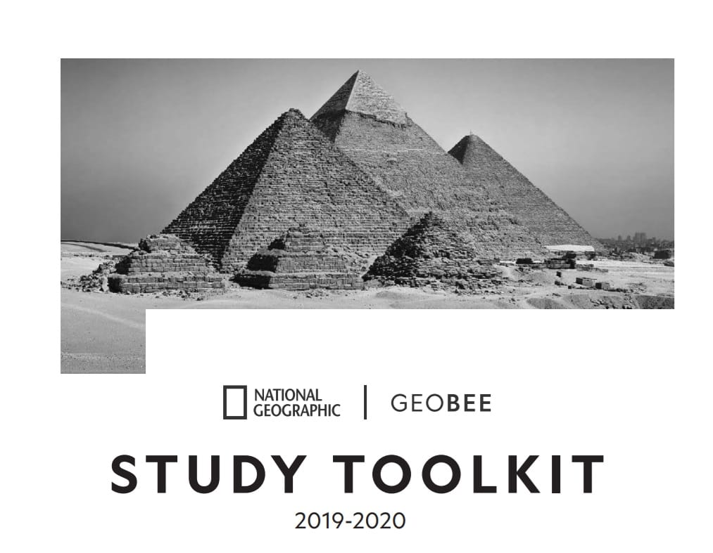
GeoBee Study Toolkit (link)
This study toolkit is designed to help your students learn more about our world. It includes blank maps of the U.S., the world, and Africa, as well as past GeoBee questions related to each. Students should challenge themselves to fill out each map using their own knowledge and any atlases they may have available. If they get stuck, there are labeled answer key maps at the end of the toolkit!
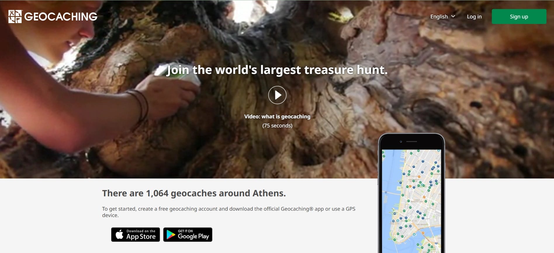
Geocashing (link)
Geocaching is an outdoor treasure-hunting activity that uses GPS-enabled devices. In geocaching, participants navigate to a specific set of GPS coordinates and then attempt to find the “geocache,” (usually a container or marker) at that location.
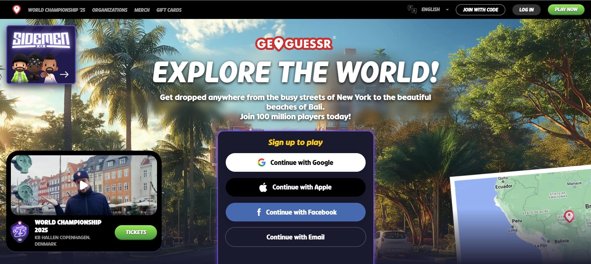
Geoguessr (link)
GeoGuessr is an online game that takes you on a virtual journey across the globe. The game drops you in a random location on Google Street View, and your task is to guess where you are by navigating the streets, observing landmarks, and using your geography knowledge. It’s a fun and interactive way to test your geographical skills and learn more about different places around the world.
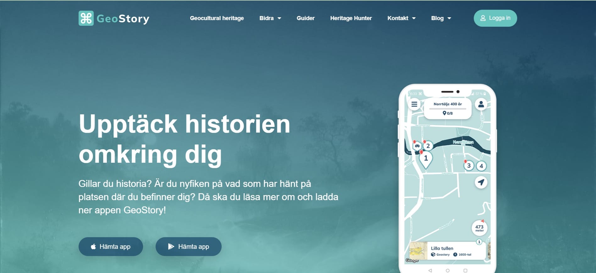
Geostory (link)
Discover the hidden history of your hometown or gather historical information about new places while you’re traveling. GeoStory is connected to several open databases with an infinite amount of geocoded cultural history information all over Sweden. Click on the pin on the map in the app when you are close enough to discover. You can collect points and leave a comment.
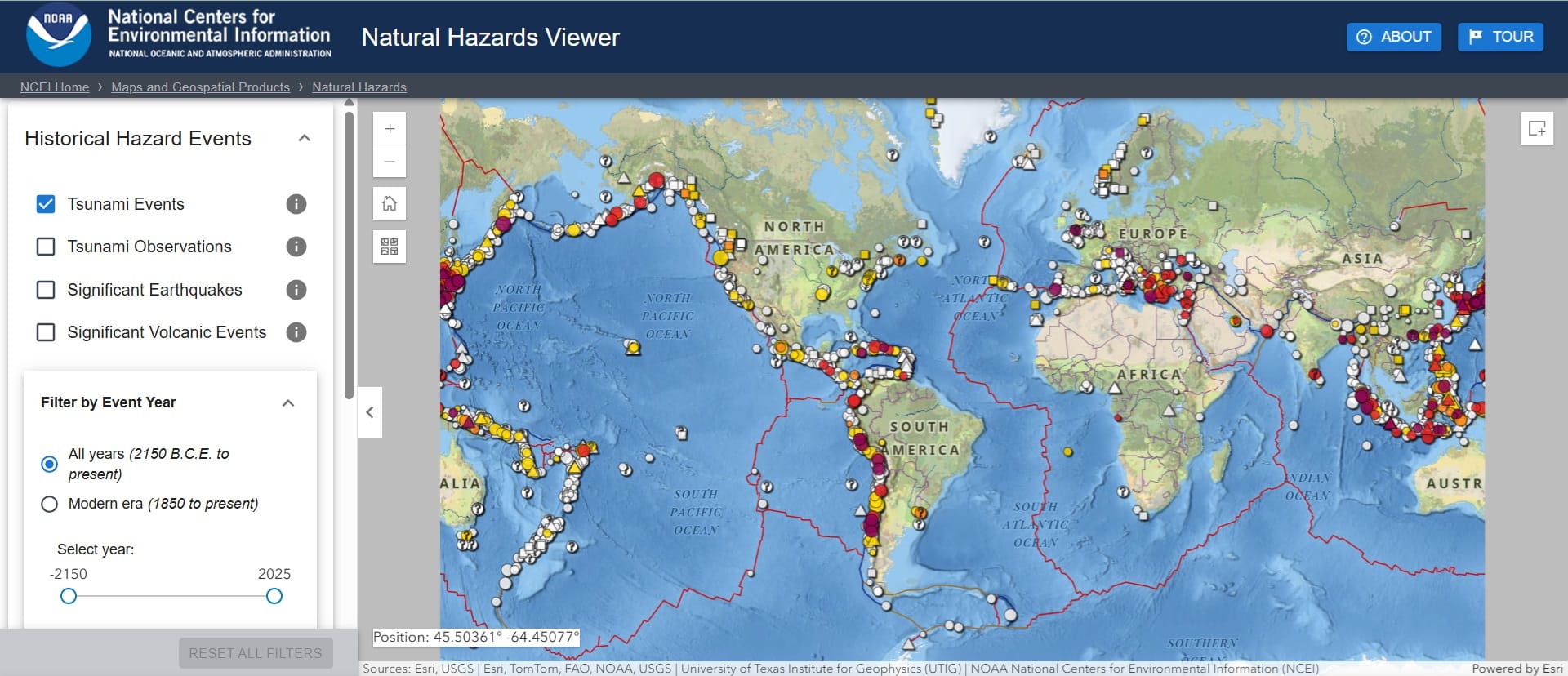
Natural Hazard’s Viewer (link)
Explore this Natural Hazard’s Viewer to discover which natural hazards might affect the places where you live, work and play. The Viewer holds information about flooding, fault lines, tsunami, coastal, volcanic events and other natural hazards. This information may help you to make better risk based decisions.
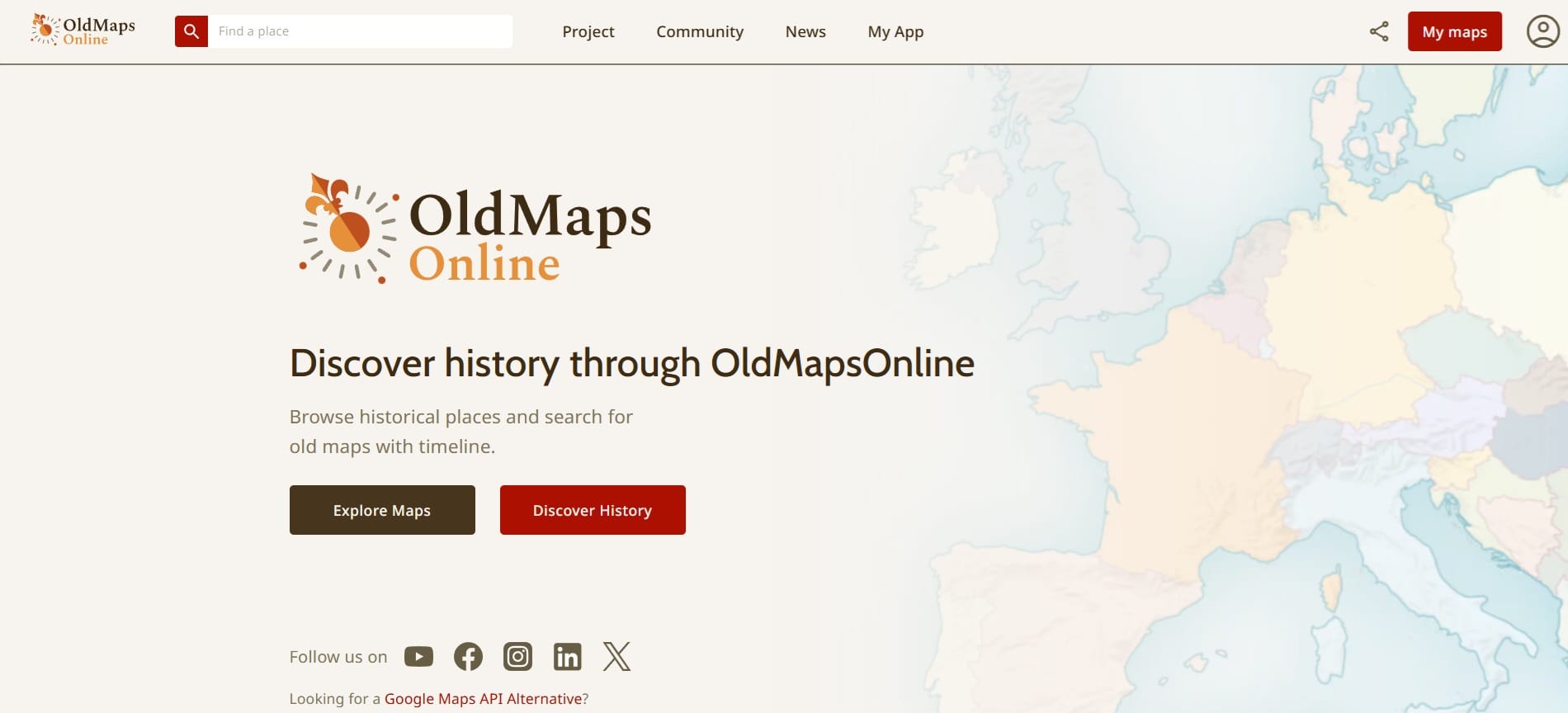
Old Maps Online (link)
OldMapsOnline.org is the largest search engine for high-resolution historical maps on the Internet. It has already indexed over 500 thousand scanned maps from institutions all over the world and serves millions of online visitors.
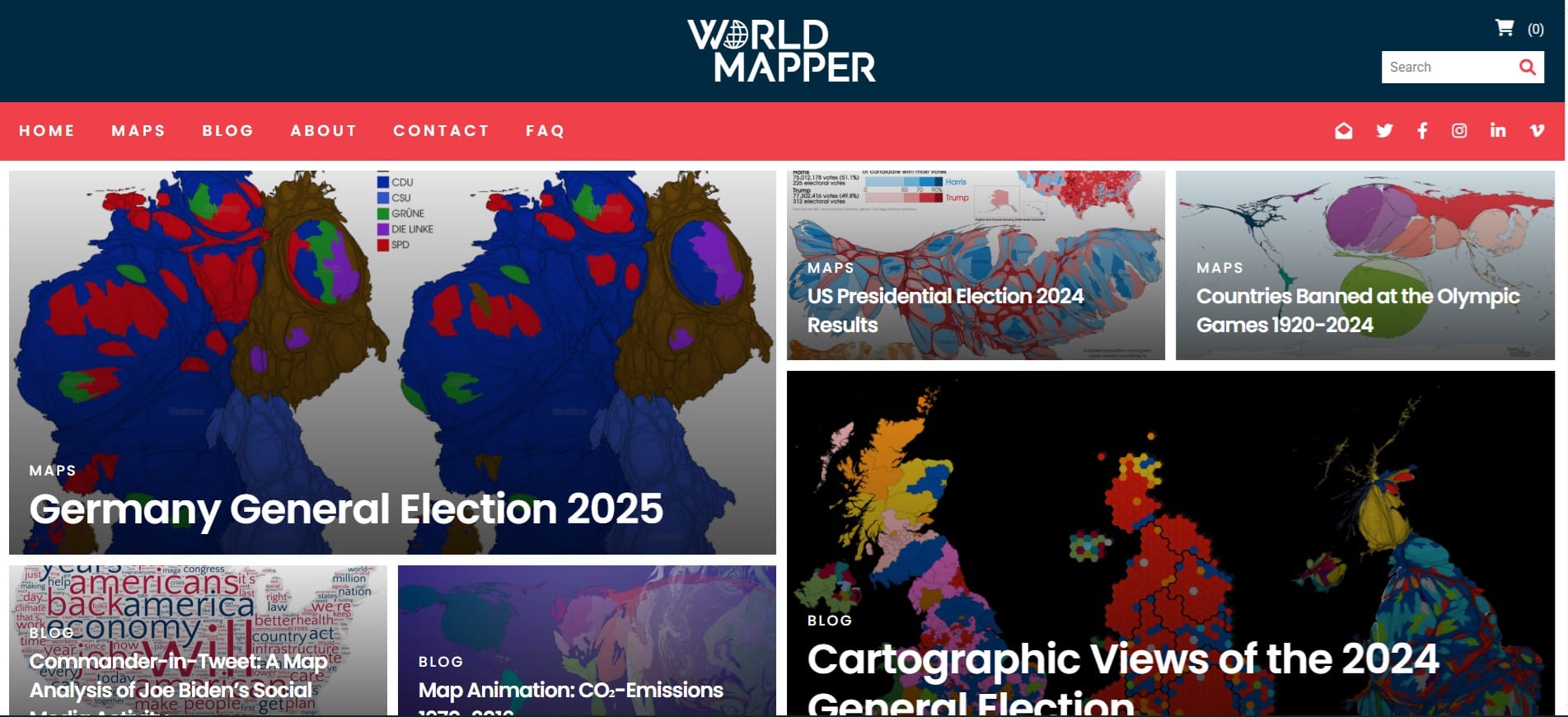
World Mapper (link)
Worldmapper is a collection of world maps called cartograms, where territories are resized on each map according to the subject of interest. Our range of maps is continuously extended and updated. Explore the world as you’ve never seen it before!
For the detailed description and usage, please download the Course Material Files.