Courses
Remote sensing (RS), Earth Observation (EO) and Satellite Applications – PART 2
PART 2: Working with freely available tools and online resources Introduction to available tools and examples of how they can […]
Free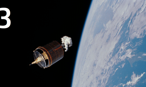
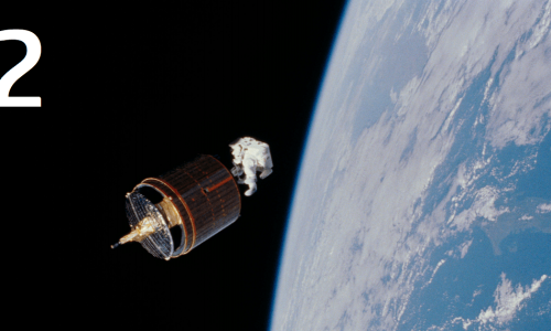
Remote sensing (RS), Earth Observation (EO) and Satellite Applications – PART 3
PART 3: Applications using satellite images and EO Examples / guidance of applications using satellite / EO data for different […]
Free
The Unified Competence Framework – PART 1
Unified competence framework developed by the Geo-Academy – The European sustainability competence framework (GreenComp)
Free
Remote sensing (RS), Earth Observation (EO) and Satellite Applications – QUIZ
Remote Sensing (RS), Earth Observation (EO), and Satellite Applications involve using satellite data and technologies to study and analyze Earth’s […]
Free
The Unified Competence Framework – PART 2
Unified competence framework developed by the Geo-Academy – Digital Competence Framework for Citizens (DigiComp)
Free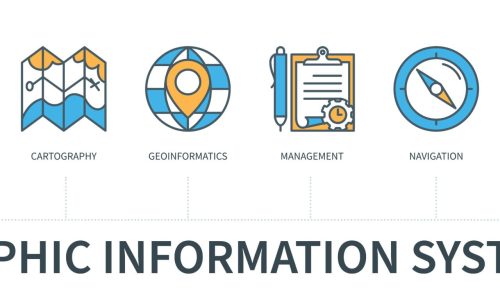
Part 0: Course outline
🌐 Course description Integrating Geographic Information System (GIS) technology into the classroom provides students with the opportunity to utilise the […]
Free
The Unified Competence Framework – PART 3
Unified competence framework developed by the Geo-Academy – Spatial Citizenship and Spatial Skills
Free
The Unified Competence Framework – PART 4
Unified competence framework developed by the Geo-Academy – The GEO-Academy Unified Competence Framework (UCF)
Free
STEAM education, robotics, and coding – Part 4
Data analysis and problem solving In this submodule, we will learn about the importance of data analysis within robotics and […]
Free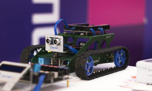
STEAM education, robotics, and coding – Part 3
Practical applications and projects In this submodule, we will learn about how robotics concepts apply to real-world projects and hands-on […]
Free
STEAM education, robotics, and coding – Part 2
Robotics components and systems In this sub-module, learners explore the core building blocks of robotics and how these essential parts […]
Free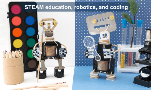
STEAM education, robotics, and coding – Part 1
Introduction to Robotics and STEAM In this sub-module, you will learn about the basics of robotics and how they intersect […]
Free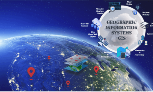
Part 1: Introduction to Geographic Information Systems (GIS)
🗺️ Introduction to Geographic Information Systems (GIS) Welcome to the foundational lesson of your GIS training journey. In this course, […]
Free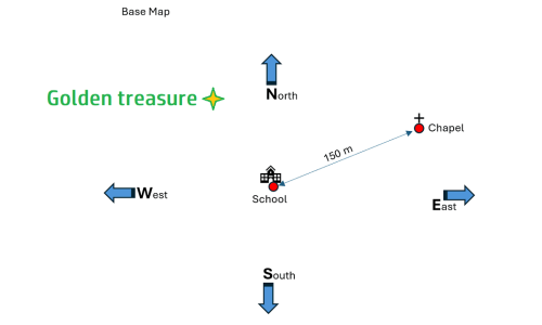
A plan for the primary level
The course presents a three-unit teaching sequence that engages students in hands-on activities to explore data acquisition, reference systems, and map layering. In the first unit, students use pedometers to measure their steps and calculate the average stride length by experimenting with different data collection methods, introducing them to concepts like mean value and unit conversion. The second unit focuses on spatial reference systems, where students measure the distance between their school and a nearby building, then create a base map marking key locations, distances, and compass directions. Building on this, the third unit has students add their home locations to the base map, layering individual data to create a collective city map that visualizes spatial relationships. Through these activities, students develop mathematical and geographical skills, learning to collect, analyze, and represent data in a meaningful way.
Free
Part 1: Geovisualization and Cartography
This course comprises four sections: It starts with an introduction to the notion of geovisualization. Geovisualization refers to a set […]
Free
Part 2: Spatial Data Acquisition, and Editing
🗺️ Introduction to spatial data acquisition and editing In today’s data-driven world, accessing, visualizing, and analyzing spatial data is essential […]
Free
Part 3: GIS and Spatial Analysis
🗺️ Introduction to GIS Capabilities: Vector & Raster Data Processing, 3D Surfaces, and Spatial Decision-Making In this course, you will […]
Free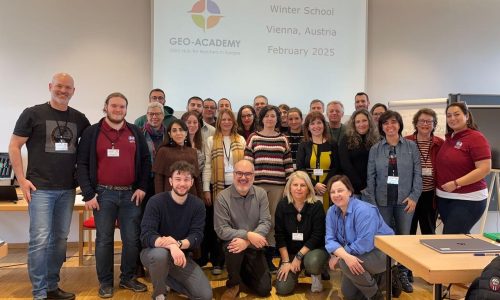
Geo-Academy Winter School Journey 2025
The GEO-Academy winter school course is part of the “Innovative digital GEO” project, designed to enhance teachers’ digital, environmental, and […]
Free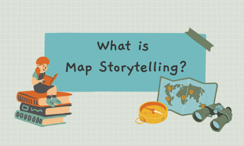
1. Introduction to Map Storytelling
Did you know that the way humans have understood and shared knowledge about the world around them has always involved […]
Free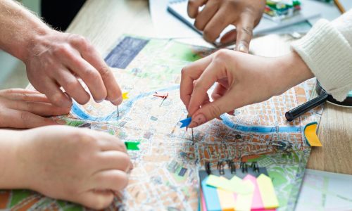
Part 4: GIS Lesson Plans for Your Classroom
🗺️ Introduction: Lesson Plans for Your Classroom Welcome to a hands-on, inquiry-driven journey into the world of Geographic Information Systems […]
Free