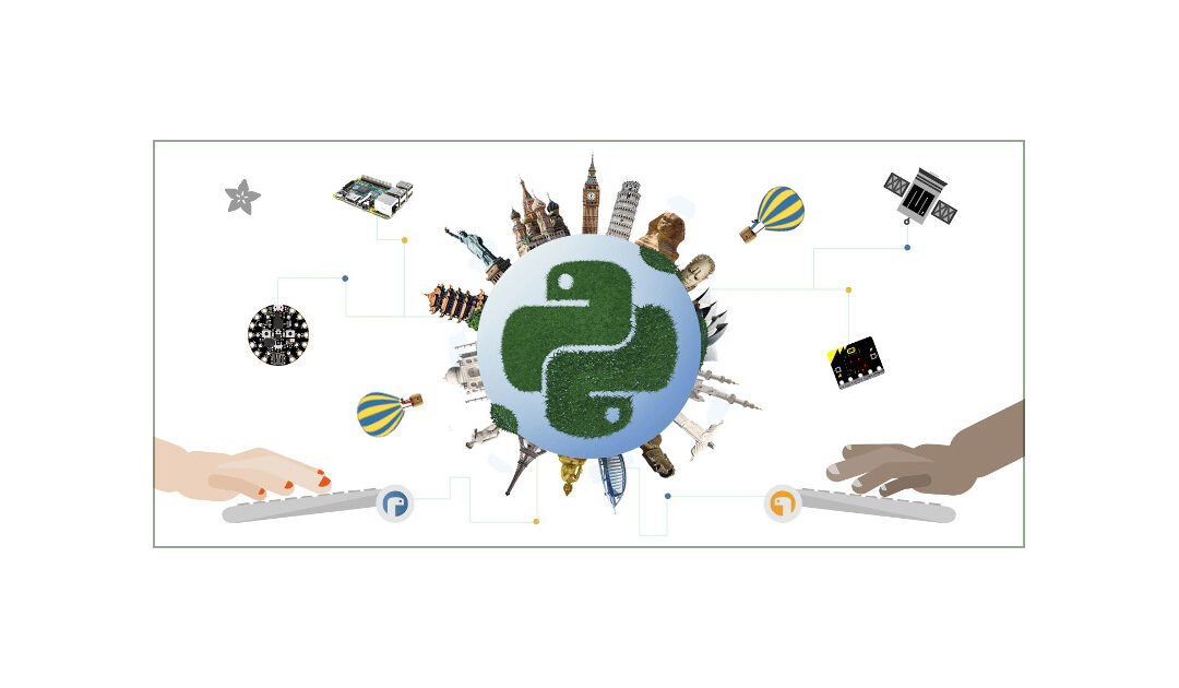
May 28, 2024 | Coding for Urban Sustainability, Digital, English, Lower Secondary (12-15 years), Other(s), Resources, Upper Secondary (15-18 years)
Mu is a Python code editor for beginner programmers based on extensive feedback given by teachers and learners.
May 20, 2024 | Cartography & Spatial Thinking, Digital, English, EO, RS & Sat Apps, GIS for Earth Sciences, Lower Secondary (12-15 years), Other(s), Portuguese, Resources, Spatial, Upper Secondary (15-18 years)
The GIS4Schools project is a completed Erasmus+ focused on integratng GIS (Geographic Informaton System) technologies into secondary school STEAM educaton related to climate change.
May 20, 2024 | Bulgarian, Cartography & Spatial Thinking, Digital, English, EO, RS & Sat Apps, French, German, GIS for Earth Sciences, Greek, Green, Lower Primary (5-9 years), Lower Secondary (12-15 years), Map Storytelling, Other(s), Portuguese, Resources, Spatial, Swedish, Upper Secondary (15-18 years)
A user-friendly interactive map-based educational tool on the ocean.
May 20, 2024 | Cartography & Spatial Thinking, Digital, English, EO, RS & Sat Apps, French, German, GIS for Earth Sciences, Green, Lower Primary (5-9 years), Lower Secondary (12-15 years), Map Storytelling, Other(s), Portuguese, Resources, Spatial, Upper Secondary (15-18 years)
Online initiative for the use of Google Earth services in the Classroom.
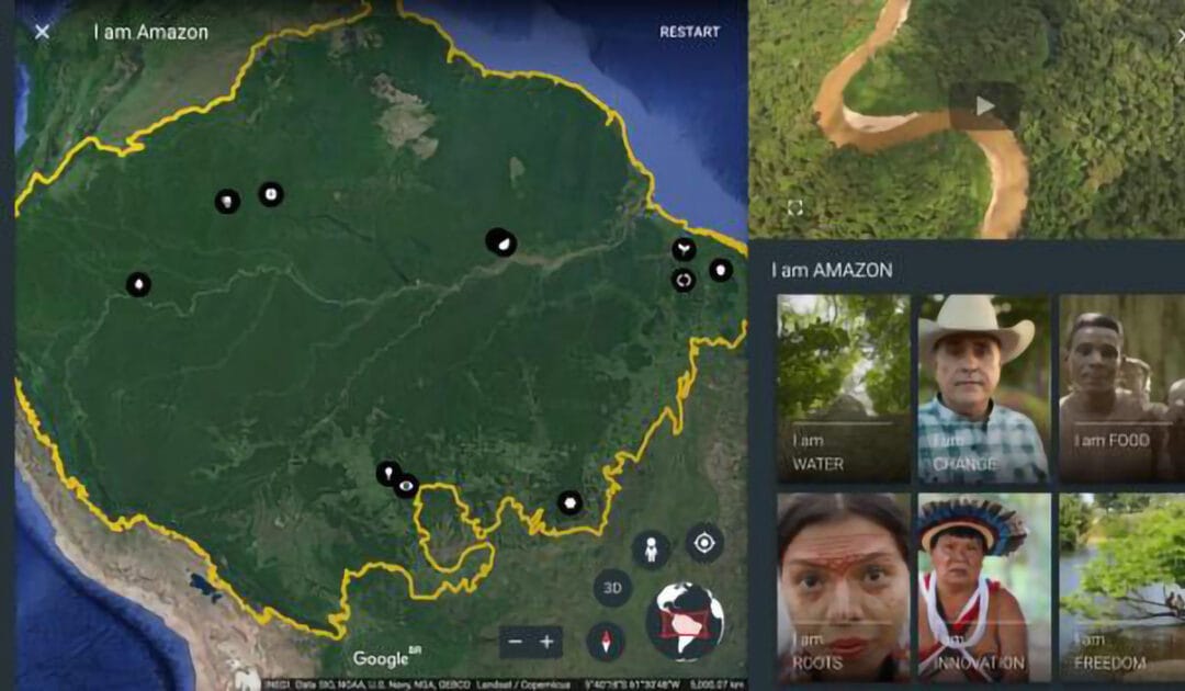
May 20, 2024 | Cartography & Spatial Thinking, Digital, English, EO, RS & Sat Apps, French, German, GIS for Earth Sciences, Green, Lower Primary (5-9 years), Lower Secondary (12-15 years), Map Storytelling, Other(s), Portuguese, Resources, Spatial, Upper Secondary (15-18 years)
Google Earth repository of stories created for the classroom.
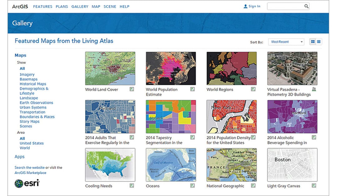
May 20, 2024 | Cartography & Spatial Thinking, Digital, English, EO, RS & Sat Apps, French, GIS for Earth Sciences, Green, Lower Secondary (12-15 years), Map Storytelling, Other(s), Portuguese, Resources, Spatial, Upper Secondary (15-18 years)
ArcGIS Living Atlas of the World is the foremost collection of geographic information from
around the globe. It includes maps, apps, and data layers to support your work.